

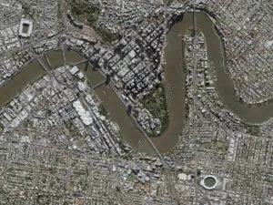

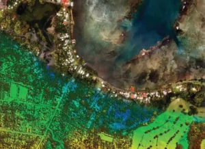
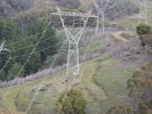


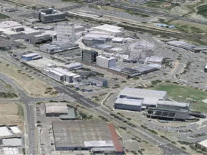
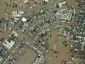
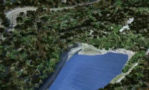


Diverse applications of RapidEye satellite data this year
Given the series of natural events in the world this year, RapidEye data has been deployed successfully in a variety of applications in our region, ranging from damage extent and intensity assessment to routine monitoring of commercial operations, for example: Flood extent mapping in Southern Australia Post-flood agricultural damage assessment in Queensland Post-cyclone damage assessment […]