


AAM Improves Terrain Data for Flood Modelling
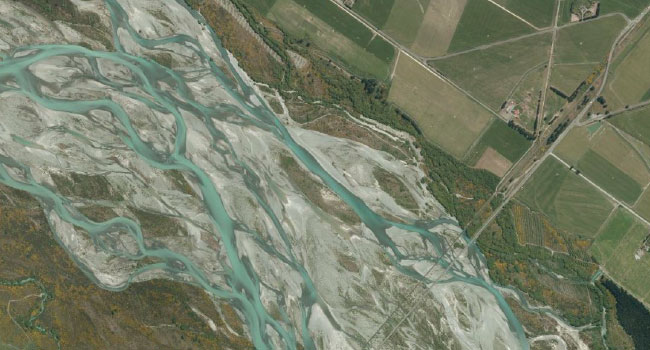
Aerial imagery of floodplains For many years now, airborne LiDAR data has been used to help improve the accuracy of flood models. However, one of the challenges associated with the use of airborne LiDAR for flood modelling is that the data at the interface between water bodies and dry ground can tend to be “noisy”. […]