AAM, a Woolpert Company, is part of a major research project that will provide answers, inform decision making and afford relief to communities affected by the 2022 New South Wales floods.
Engaged by the National Emergency Management Agency, the Commonwealth Scientific and Industrial Research Organisation (CSIRO) is heading a $11.2million flood mitigation survey throughout seven local government areas (LGAs) of the Northern Rivers region. This review is part of a major $150million project funded by the Australian Government to produce the Northern Rivers Resilience Initiative, using science to inform investment.
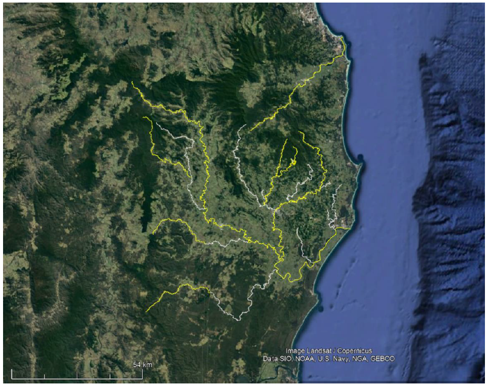
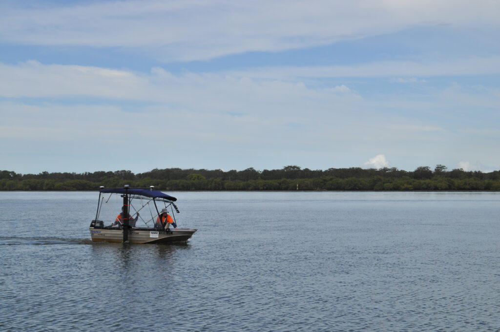
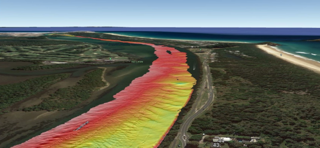
AAM was appointed to conduct bathymetric survey works of about 800 linear km of riverways in the Northern Rivers region. Using interferometric side scanning sonar equipment, AAM will implement both manned and unmanned vessels to harvest data from large bodies of water and smaller streams. 3D bathymetric datasets will produce a detailed hydrodynamic model of the Richmond River catchment that will be used to explore the impact of multiple drivers on flooding and actions to mitigate risk for unprecedented flood events.

The East Coast floods were Australia’s most expensive natural disaster recorded in history costing more than $5.65 billion. Over ten months have passed, and the impact can still be felt with many residents of the Northern Rivers region yet to move back into their homes. The Northern Rivers Resilience Initiative will help to afford security to these affected communities through understanding drivers and inform flood resilience projects to be better prepared for future disasters.
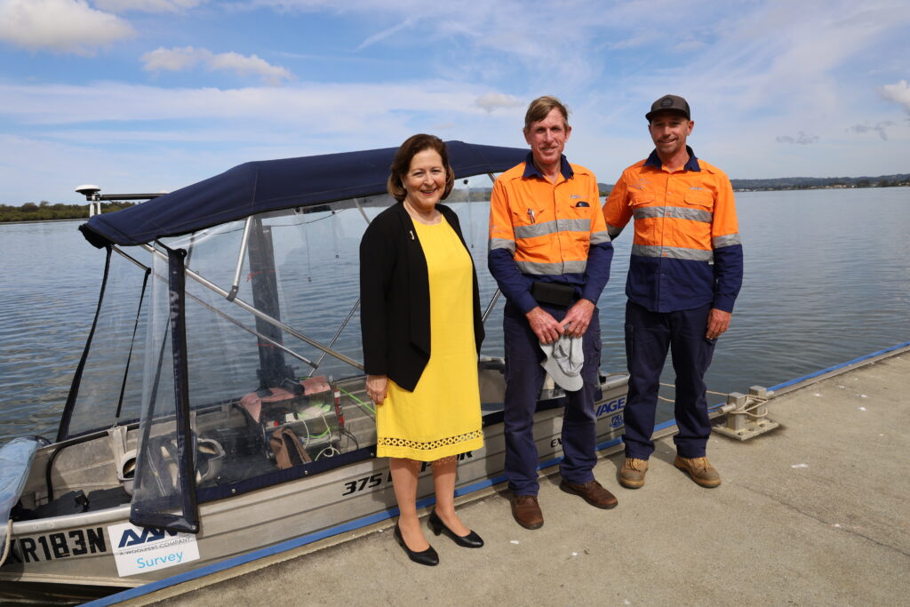
AAM’s survey will draw on its expertise and talented personnel to deliver hydrological/hydrodynamic water movement modelling which will play a key role in the scenario analysis for long-term planning. Technical lead Ross Macdonald, Project Manager Andrew Port, Project Support Officer Alexis Walburn and surveyors Roland Saftenberger and Brett Marr are the team committed to delivering these outputs. The challenges they face are many, from unseasonal rains and water flows, to working in very wide channels and shallow streams, they are literally working in uncharted waters.

The bathymetric survey will be accompanied by Airborne LiDAR, used to harvest accurate digital elevation models. This will be valuable in collecting data in areas that are difficult to access via vessels.
The study is also calling on the community to share their local knowledge on the catchment and flooding in the area. Community consultation will aid in informing research, understanding hydrological behaviours in the area, and supporting modeling. It will also provide a means of keeping affected communities informed on the project and allow feedback along the way. This is meaningful to the study to gain perspectives and draw upon the experiences from those who were there.
Having commenced in July this year, AAM’s survey works will conclude this month with the harvested data to complement existing datasets. Once the collection and processing are complete, the data will be made publicly available by CSIRO, likely in mid-2023. The final report including the landscape mapping of the Richmond River, Brunswick River, Clarence River, and Tweed River will be available May 2024.

The road to recovery is ongoing, and building a more resilient community doesn’t happen overnight. The Northern Rivers Resilience Initiative pairs science with community insight, and AAM’s bathymetric survey data is a key part in mitigating future disaster events. The findings will be invaluable in the rebuild of the affected LGAs, providing relief and security to all those involved.


