


Two surveying industry leaders have partnered to deliver high-quality hydrographic services in support of the Australian government.
This is an excerpt from a Geospatial World News article (26 October 2022), written by Sachin Awana
AAM, a Woolpert Company, has signed a teaming agreement with EGS Australia to collect bathymetric LiDAR surveys for the HydroScheme Industry Partnership Program (HIPP), with the vision to undertake an efficient, effective, and sustainable hydrographic survey, oceanographic and marine geophysical data collection program for the nation by partnering with private industry.
Managed by the Department of Defence’s Australian Hydrographic Office, HIPP is a commercial acquisition program focused on hydrographic survey activities that contribute to national charting priorities.
Woolpert’s Asia-Pacific Vice President and AAM Managing Director Brian Nicholls said partnering with EGS Australia will help build capacity and capability in the region.
Nicholls said. “One of the objectives is to obtain full, high-quality bathymetric coverage of Australia’s Exclusive Economic Zone by 2050, and this partnership directly supports that effort.”
Why is Australia mapping its territory through HIPP?
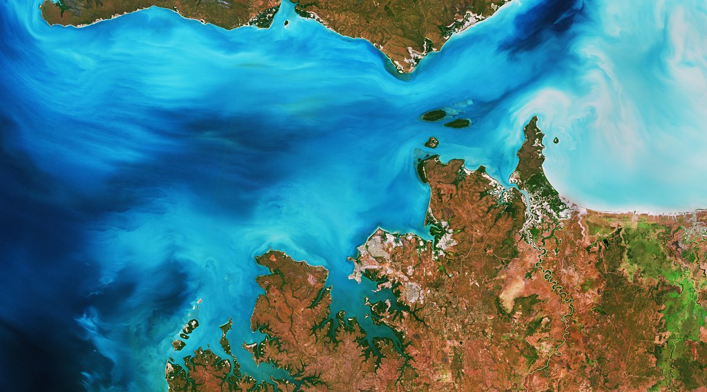
HIPP has set an ambitious goal of obtaining full bathymetric coverage of Australia’s Exclusive Economic Zone by 2050. Moreover, their pursuit also seeks to provide environmental data that contributes to national efforts in establishing a baseline dataset of Australia’s marine estate through data acquisition for the safety of navigation; support hydrographic, meteorological, and oceanographic surveys in remote locations; support the development of an academic program to deliver an organic tertiary hydrographic qualification; and support capacity building programs in the region.
What is HydroScheme Industry Partnership Program (HIPP)?
HIPP is a planned long-term partnership between Australian Defence and members of Australia’s hydrographic industry. Under the International Convention for the Safety of Life at Sea 1974, the Australian Government has an international obligation to provide hydrographic services covering the Australian Charting Area.
The connection between EGS, HIPP, and AAM
The HydroScheme Industry Partnership Program (HIPP) is a commercial acquisition program focused on hydrographic survey activities that contribute to national charting priorities. EGS is one of the founding panel members of HIPP and has completed surveys in Broome, Torres, and Bass Straits, as well as a multi-year tidal infrastructure project in the Torres Strait. Architecture, Engineering, and Geospatial (AEG) firm Woolpert acquired AAM in 2021 and has experience and resources to support bathymetric LiDAR and hydrographic surveying. Woolpert’s recent work in the region includes supplying topographic and bathymetric LiDAR and imagery to the Pacific Island nations of Vanuatu, Tonga, and the Cook Islands.
AAMs Bathymetric explorations
Before AAM commissioned this new HIPP project, they were given the responsibility to survey 645 sq. km over a coastal and waterways network in Eastern Australia. The objective was to provide bathymetric data to classify the site as usable and safe due to the presence of a shallow estuary. After facing several challenges, the AAM team managed to get over 5 terabytes of data about the site.
AAM deployed a LiDAR Bathymetric sensor for the collection of data for shallow water mapping. Data Processing involved the generation of classified LiDAR point cloud and gridded data from the topographic and bathymetric laser system. Subsequent data analysis provided an accurate assessment of LiDAR datasets in a range of water depth and water quality scenarios.
 (1)")
")

")
")
")