


AAM India is mapping thousands of kilometers of infrastructure project routes across India using StreetMapper mobile laser scanning (MLS) technology. Compared to traditional manual survey methods, which cover just a few kilometers each day, MLS is able to map road and construction routes at hundreds of kilometers a day.
Indian construction companies, tasked with expanding and upgrading the country’s infrastructure, need to plan and then lay thousands of kilometers of pipelines and cables in road corridors—while minimising traffic and safety issues.
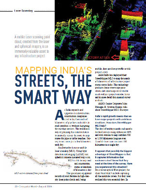
MLS records all road features in high-density laser point clouds and, being mobile, does not disrupt traffic or risk project safety.
Mobile laser scanning uses light detection and ranging (LiDAR) and spherical cameras mounted atop a car to produce dense streetscape point clouds and street maps of all visible assets within a project corridor, faster and in more detail than manual survey methods.
Download the full article, published in Geospatial World Magazine now.
 (1)")
")
")
")
")
")