


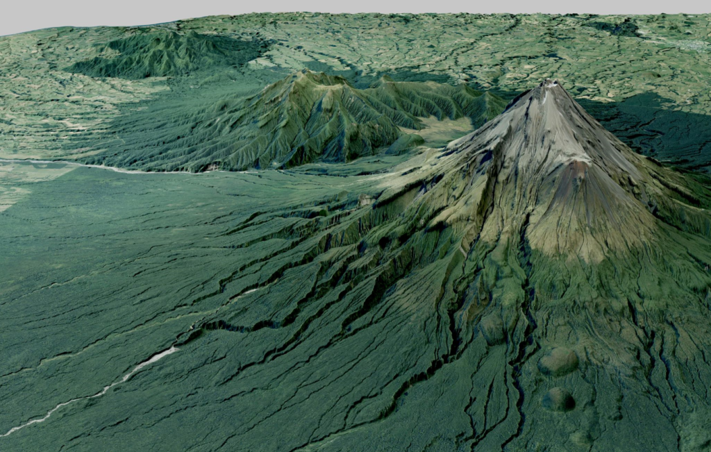
A highly anticipated 3D map detailing the land surface and elevation data for the Taranaki region of New Zealand is complete.
The major LiDAR survey project was carried out by leading global geospatial services company, AAM, a Woolpert Company, and covered an 8,169.48 km² area. Captured for the Taranaki Regional Council in partnership with Toitu Te Whenua Land Information New Zealand (LINZ), the dataset supports environmental planning and management for the region.
To map the vast terrain, AAM was tasked to undertake Aerial LiDAR survey which ensured the collection and processing of high-quality point data. In 2021, AAM captured 74 billion points with a point density better than 8 points per m².
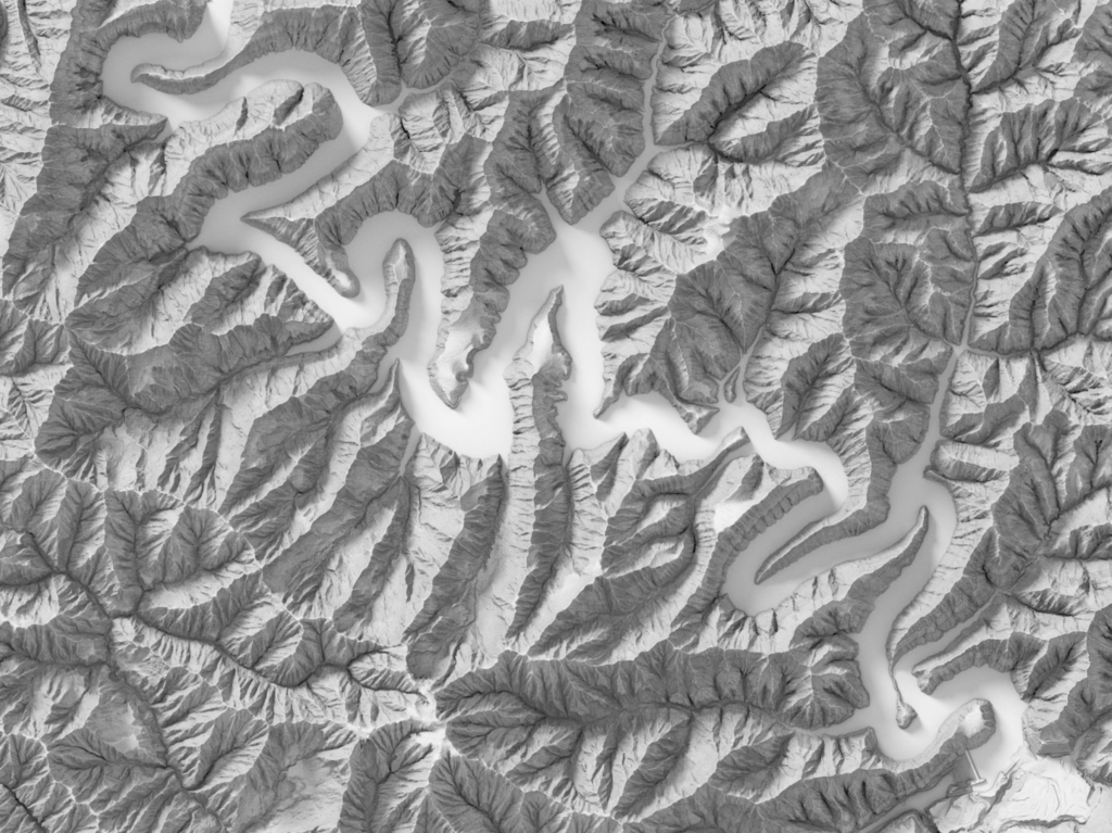
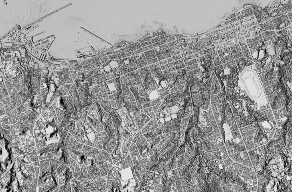
On completion of the project, the digital elevation and terrain model of the Taranaki region is live and will serve a wide range of applications. It will be valuable in environmental management, measuring vegetation cover, changes in coastlines and river channels, habitat quality and natural disaster planning and resilience. The model will also inform the planning of services and infrastructure, providing council, landowners and the public certainty around decision making. This value will also extend to construction, engineering and surveying services in the area.
One of ten regional councils within the entirety of New Zealand to receive funding to employ LiDAR mapping projects, the Taranaki Regional Council, and their respective district councils are now on the 3D map, contributing to the Provisional Growth Fund (PGF) National LiDAR Project – the LINZ National Elevation program. The project’s completion sees the program one step closer to their objective of national LiDAR coverage spanning 80% of the country. The project was funded by PGF via LINZ, with contributions from the Taranaki Regional Council, Stratford District Council, South Taranaki District Council, New Plymouth District Council, and the University of Auckland, totaling a $1m investment.
AAM Mapping Lead Michael De Lacy said that AAM is proud of its reputation for the quality and accuracy of the LiDAR data it captures and provides.
“We are always looking for opportunities to revolutionise how geospatial data is viewed using this remarkable mapping tool,” Mr De Lacy said.
“It is an honour to have been a part of growing New Zealand’s suite of digital elevation and terrain models and moving forward the National Elevation program through our LiDAR capabilities.”
The data can be accessed via the LINZ Data Service and is available to councils, partners, and the public. As more LiDAR mapping projects throughout the nation are carried out and contributed to the program, the greater the coverage informing land-use planning and infrastructure on a national scale.
 (1)")
")

")
")
")