


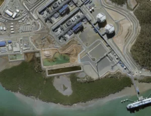


AAM’s aerial survey team captured this idyllic image of fishing boats moored off North Stradbroke Island, Queensland.
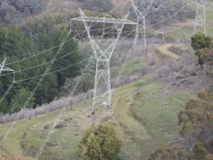
The company has a fleet of 12 aerial survey aircraft operating throughout the region, equipped with state of the art airborne sensors that can capture aerial imagery at resolutions as high as 2 cm, or LiDAR to 150 points per metre.
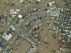
Our airborne operations team can respond rapidly to any project, where ever the location. AAM has the resources, experience and expertise to deliver cost-effective solutions.
Contact us to find out how we can tailor a solution to your geospatial needs.
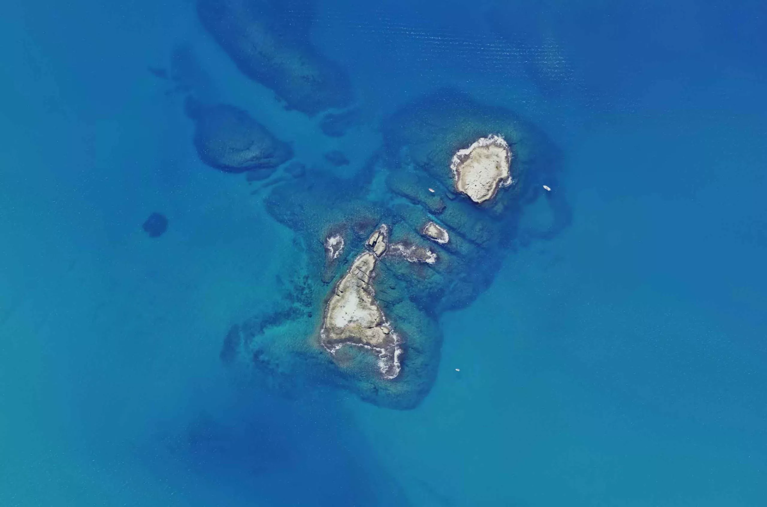
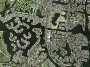
Fantastic imagery captured around North Stradbroke Island.
 (1)")
")
")
")
")
")