


AAM has proudly played an integral role in ensuring the success of Solar Q’s development application to build Australia’s largest solar farm in Gympie, Queensland.
AAM provided foundation spatial data and developed the required 3D analysis tools to assess the viability and potential success of this project.
Once approved, Solar Q will develop Australia’s largest solar farm in Gympie, Queensland
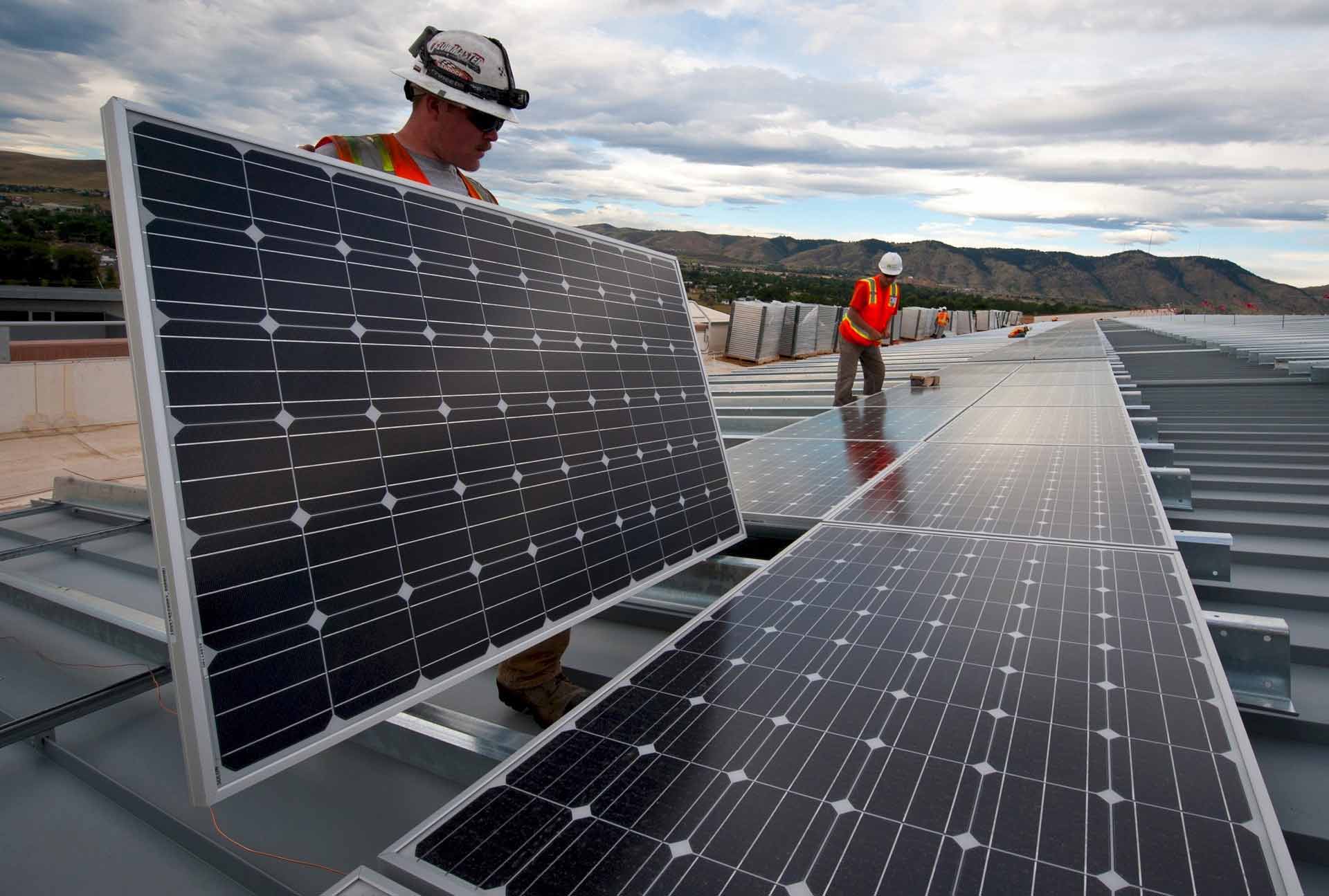
.Utilising our extensive experience and expertise in aerial surveying, we captured new LiDAR and aerial imagery as the foundation datasets for the basis of project analysis. This data was used to build a detailed model of the landscape and built environment – a key input in assessing the potential impact of the proposed development.
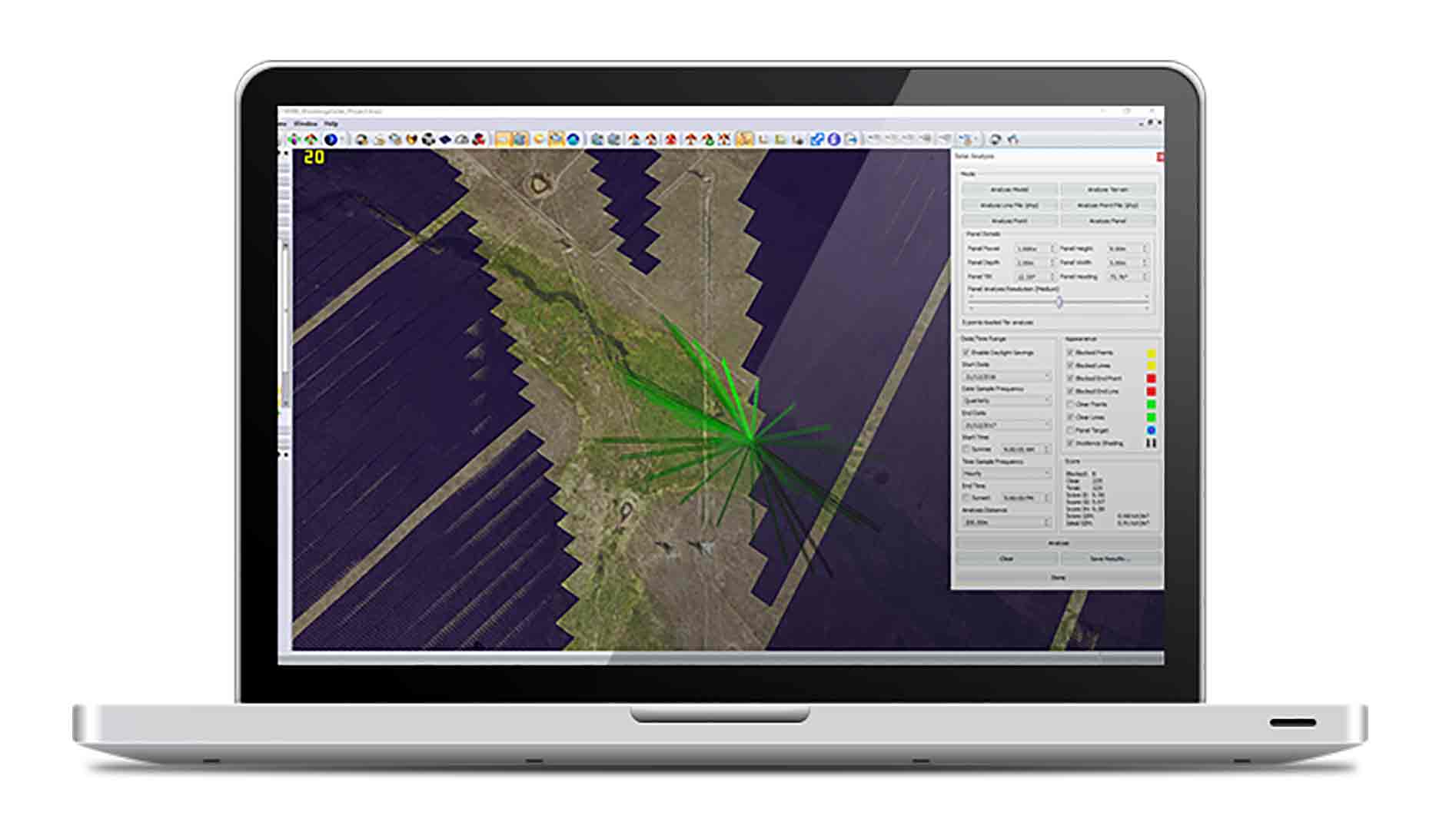
We also developed innovative 3D visualisation and analysis tools to assess the potential impact of the proposed development on the environment, including the visual amenity of neighbouring houses. Our “glare and glint” functionality tool was also applied to analyse the potential risks caused by the solar reflection from surrounding objects. These tools harness the power of AAM’s 3D GIS platform with the results visualised in GEOCIRRUS – our hosted web mapping solution.
Mick Curran, mayor of Gympie, stated that this will be the most significant project ever planned for the Gympie region, creating 450 construction jobs and up to 8full time service and maintenance jobs.
According to Solar Q’s Managing Director, Scott Armstrong, the solar farm will also benefit the environment in several ways.
“Solar and battery storage is a static generation facility so it will produce minimal noise, it doesn’t emit, it doesn’t have particulates from chimney stacks [and] it doesn’t have ash dams”.
Once operational, the solar farm will also reduce carbon emissions of around 666,700 tonnes of CO2 – the equivalent of 180,000 cars.
The $2 billion facility will also have the capacity to supply around 15 per cent of south-east Queensland’s power.
If you have a similar project or the need for aerial mapping services, aerial or LiDAR imagery, 3D GIS mapping, 3D visualisation or 3D modelling services, please contact us today.
 (1)")
")

")
")
")