


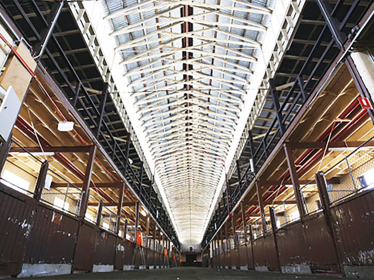
3D Modelling Police Stables
Minimising costs and maximising benefits with multi-purpose heritage site 3D model KANE was commissioned to partially restore and refit the Victorian Police Stables building. The heritage
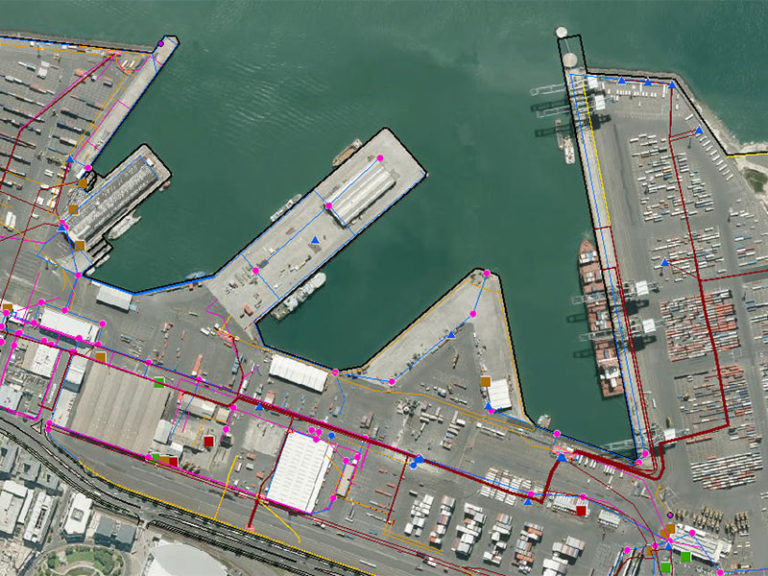
Ports of Auckland Custom GIS Solution
Enhancing maritime productivity through geospatial mapping software Ports of Auckland Limited (POAL) is owned by Auckland Council via its investment arm. The Auckland Port is

Enterprise GIS for PF Olsen
Background PF Olsen is New Zealand’s largest independent professional forestry services company serving Australia and New Zealand. PF Olsen had a Geographic Information System (GIS)
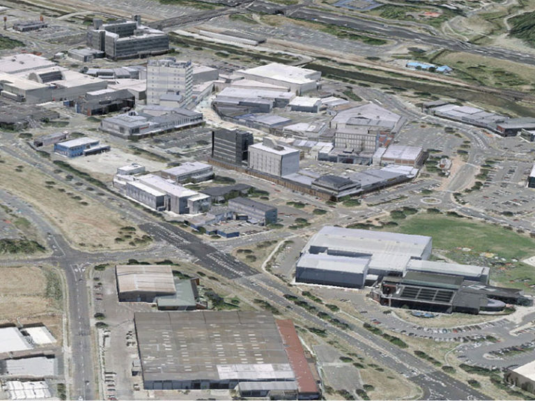
Porirua City Council 3D City Models
Dynamic city planning through advanced GIS capability Porirua is located on New Zealand’s North Island, one of four cities that constitute the Wellington metropolitan area.
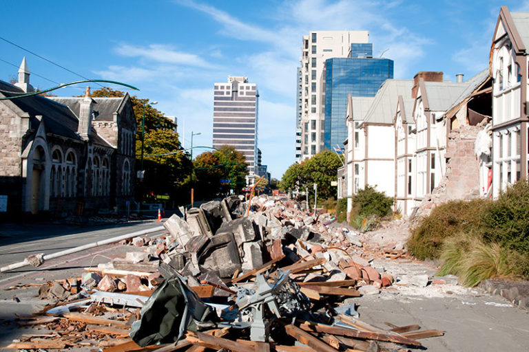
Forward Works – Rebuilding Canterbury with Web Mapping
Forward Works – Rebuilding Canterbury with Web Mapping Background Land Information New Zealand (LINZ) is the New Zealand public service department charged with geographical information

Ultra High Density LiDAR for Gas Fields
Ultra High Density LiDAR for Gas Fields Overview This multinational resources company develops and operates natural gas (coal seam) reserves across Australia. Business operations involve
 (1)")
")

")
")
")