


For Africa, Siberia, Mongolia, PNG or Australia – now is the time to capture your 50cm stereo satellite data and request your 5m RapidEye mosaics. The next 2 months may be the only time to obtain data with minimal or no cloud (or snow).
50cm very high resolution imagery captured in stereo are the basis of valuable derived products such as digital terrain models and contours. This case study from Africa illustrates the range of client applications for satellite derived products.
Meanwhile, RapidEye is expanding its range of 5m mosaics in Africa, the Middle East and other locations. Provide your input to the AAM Satellite Team about your priorities and help influence the priorities. Refer here for specifications about the RapidEye Mosaic products.
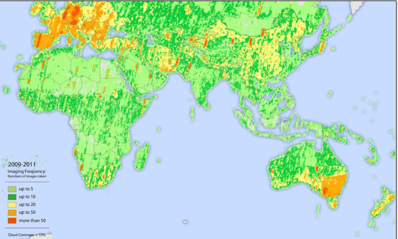
If your needs are immediate, AAM can customise a small RapidEye or GeoEye mosaic for your specific project site and key dates of interest. The image below highlights the vast amount of 5m RapidEye archive data available and ready for immediate use. Contact the AAM Satellite Team on imagery@aamgroup.com to discuss your priorities and project location.
 (1)")
")

")
")
")