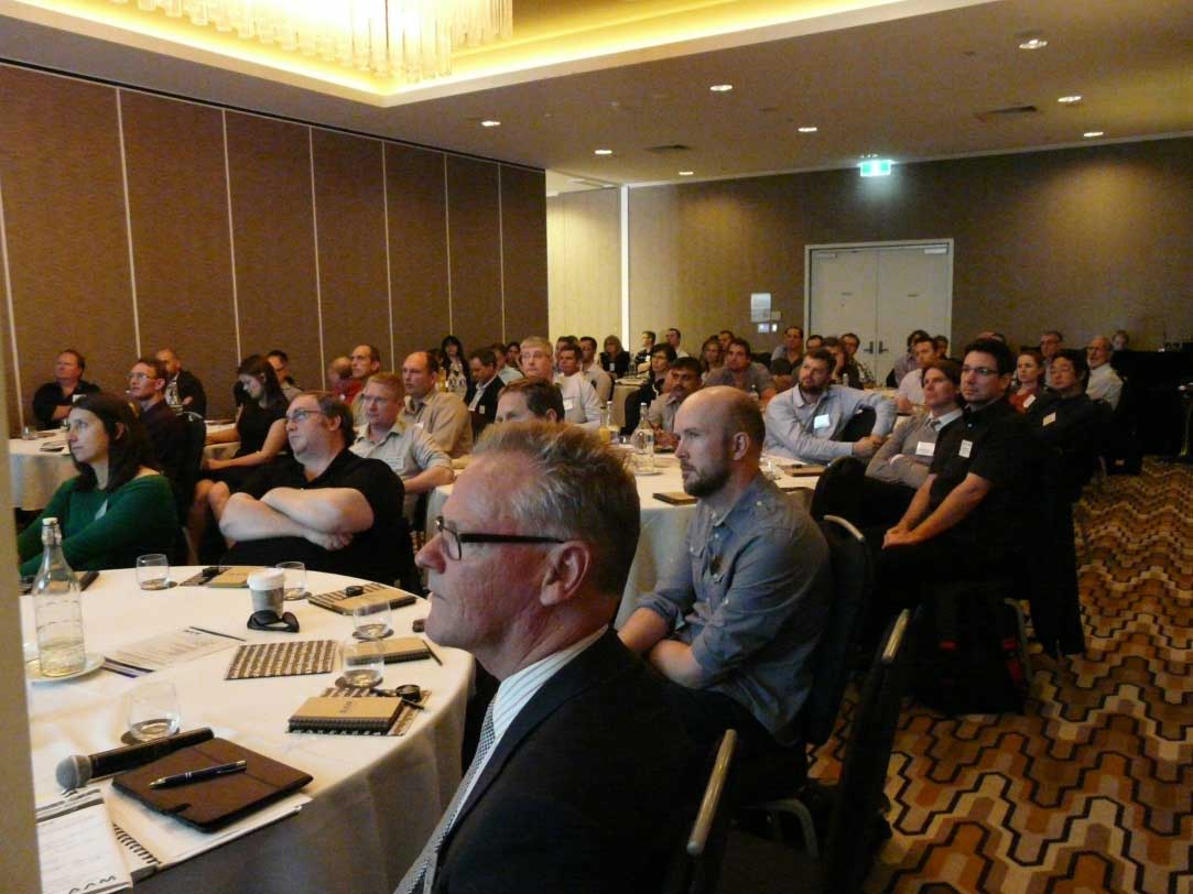
On the 4th September AAM held the latest instalment of our Geocortex Seminar Series. We timed the event to coincide with OZRI 2013, ESRI Australia’s annual user conference, to allow as many people as possible to take advantage of being in Brisbane and join us to hear more about Geocortex. The seminar attracted over 60 delegates from all over Australia. The audience included a diverse mix of spatial professionals from the public and private sectors representing a broad range of industries.
The seminar was intended for both existing Geocortex users and those organisations investigating the benefits of web mapping. With the rapid growth in customers using Geocortex for their web mapping solution, the most important aspect of the seminar was as much sharing ideas and experiences with each other as it was listening to the presentations.
As always, the most popular part of the seminar was the series of case studies, delivered by clients, with successful Geocortex implementations. The story of how Logan City Council has used Geocortex to transform their corporate GIS was particularly well received. Also with so much change in the Queensland State Government recently, the story of how Geocortex is helping improve efficiencies generated a lot of very positive feedback.
We were excited by the response to this latest event and look forward to running events focusing on other products and services.
An attentive crowd at the Geocortex Seminar
OZRI has become the premium event for those at the cutting edge of geospatial technologies and GIS and we were delighted to be involved yet again. As is the norm at technology events these days the twitter feed provided valuable insights into the mood and the interests of the crowd. We have combined this with feedback from our seminar and discussions with visitors to our booth in the exhibition hall to develop a summary of the key themes of the conference.
- Hosted Solutions – It quickly became clear that 2013 is the year of the ‘Hosted Solution’. From ArcGIS Online, OGC Web Services and a range of Software as a Service (SaaS) solutions, everyone was talking ‘Hosted Solutions’. There was strong interest at the AAM booth in our own GeoCloud product with options ranging from basic data delivery through a web mapping service (WMS) through to fully hosted Web Mapping Implementations.
- Mobile solutions are now main stream. Whether this be via smartphones, tablets or any other mobile device people are demanding instant access their spatial data. This must be anytime, anywhere and on their device of choice. AAM’s QLD Government customers demonstrated how we have helped them ‘go mobile’ during the Geocortex Seminar.
- Big Data Management and Delivery – As data collection systems, including LiDAR and Aerial Cameras become more efficient massive spatial datasets are now main stream. ESRI has expanded the capacity of their software solutions to allow users to efficiently interact and analyse with this data.
- Real Time GIS – with the increasing availability and capability of sensors of all kinds, combined with always on, always available and always accessible services, the demand for Real Time GIS is now increasing. This is particularly relevant for emergency response and large event management.
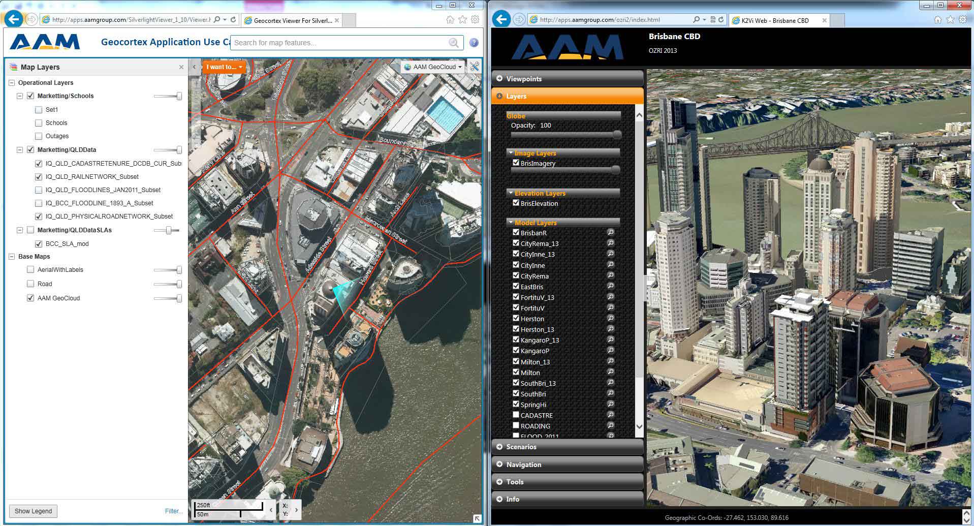
- 3D GIS – Virtual cities allow designers, planners and managers to visualise and interact with the built environment. Flood modelling, development impact assessment, event planning and community engagement are just a few of the applications for this technology. Functionality in the software provides the capability to model a range of scenarios. AAM recently announced synchronisation functionality between Geocortex and K2Vi linking the 2D and 3D environments for integrated analysis.
Geocortex seamlessly integrated with Brisbane City Council’s Virtual Brisbane models displayed in K2Vi – our 3D GIS solution for Web and Desktop
We would like to thank all those that attended the Geocortex seminar for your part in making the event such a success. Thanks also to the many OZRI delegates that dropped by our booth to discuss how AAM’s geospatial solutions can add value to their organisation.


