


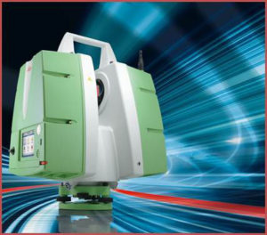
AAM have recently taken delivery of the latest in Leica’s suite of Terrestrial Laser Scanners, the ScanStation P20. Offering faster acquisition, higher accuracy and increased flexibility, the system further enhances AAM’s High Definition Survey (HDS) capability.
The P20 is suited to a wide range of applications. HDS Manager, Thomas Werner said “The scan range and ultra-high speeds of the P20 reduce the number of setups required for a typical scan. This added efficiency is especially important for projects with time or access constraints.”
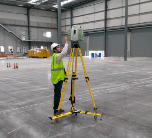
The flexibility of the P20 makes it suitable for a range of different industry applications including plant and marine, Building Information Modelling (BIM), construction, heritage and civil projects. Adding to its versatility, the P20 can operate whilst inverted. This is ideal when scanning confined or unusual spaces such as blast furnaces, silos, ship hulls and caves.
AAM has been a leader in applying this technology for over 10 years. “Our experience allows us to embrace the advances in this technology and quickly pass the benefits onto our clients through increased productivity and custom outputs.” Werner added.
To find out more about our High Definition Survey solutions please contact us.
 (1)")
")

")
")
")