


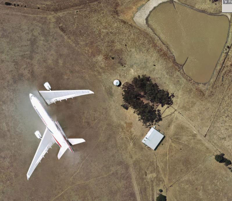
The AAM imagery team spends countless hours checking the quality of our data. This is a painstaking but very important task with many thousands of square kilometres being viewed each week.
Whilst checking the data, AAM technicians often come across unusual sights. The image below is one of these rare examples. Our survey aircraft share the airspace with other traffic by operating at different altitudes. In this instance we were capturing data over South East Queensland with a passenger jet operating several thousand feet below us.
 (1)")
")

")
")
")