


The latest 50cm GeoEye-1 satellite imagery for Australia is now available from archive. Archive imagery is available for areas as small as 25sqkm. Archive image prices are also recently reduced.
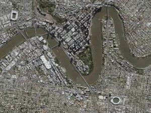
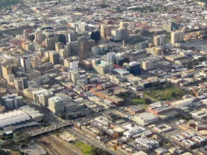
The image below illustrates coverage of 50cm GeoEye-1 imagery captured over Australia since 1 April 2011.
To review your area of interest in detail, use the easy GeoEye Search tool called GeoFUSE. Contact us via email for pricing and delivery information.
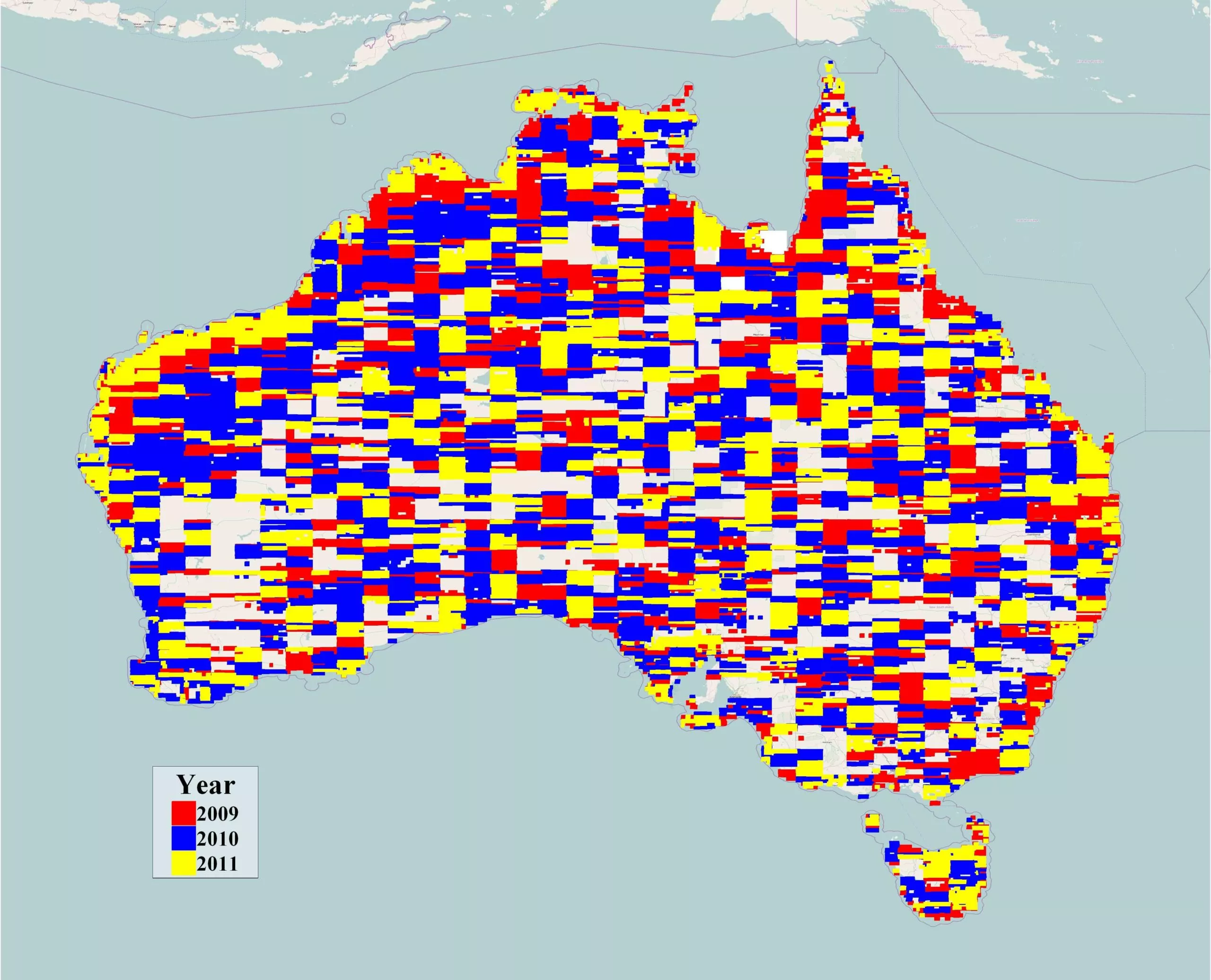
Above: Coverage map of GeoEye-1 satellite imagery from 2009 – 2011
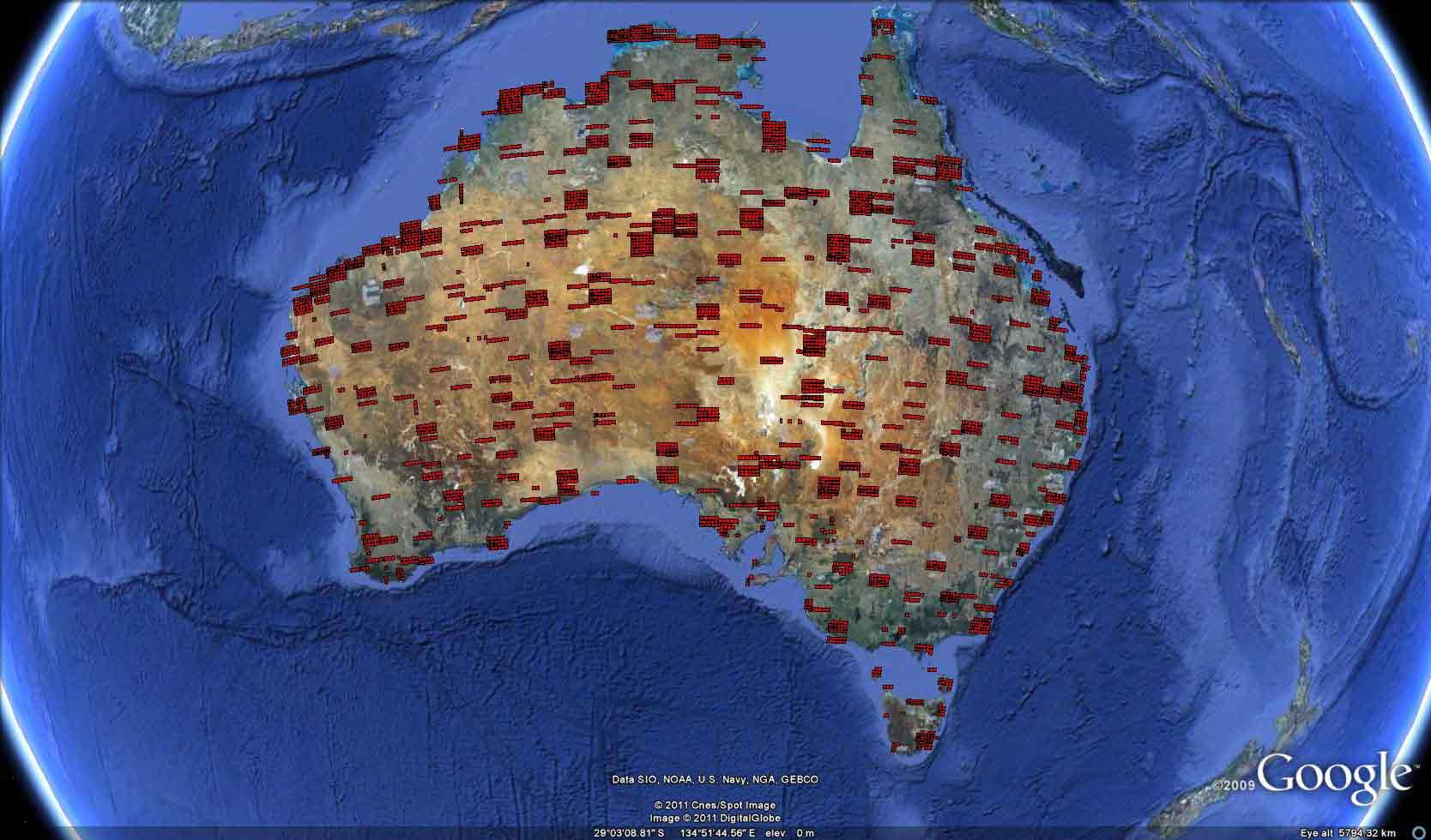
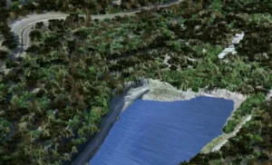
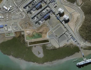
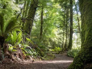
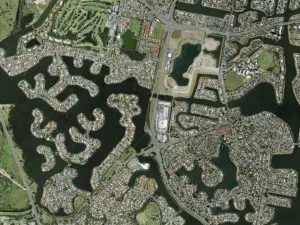
Above: GeoEye-1 archive imagery by Google© from April – July 2011
 (1)")
")
")
")
")
")