


For companies undertaking route selection, feasibility studies or monitoring tasks in Papua New Guinea, the RapidEye satellite imagery is a new image source to support these project works.
Over the last 2.5 years, the constellation of RapidEye satellites has imaged this challenging region. Low cloud cover, recent imagery with a 5m image resolution is a valuable resource now available for this region. Customisation and integration of this RapidEye satellite imagery with your existing datasets is readily undertaken.
AAM’s airborne LIDAR system in PNG or satellite imagery can provide a range of solutions suitable whatever your project’s phase. Contact us to discuss your terrain and imagery requirements and provide input for key areas for imaging in mid-2013.
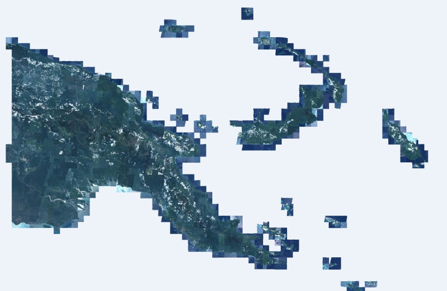
PNG imaged by RapidEye Satellites 2010-2012
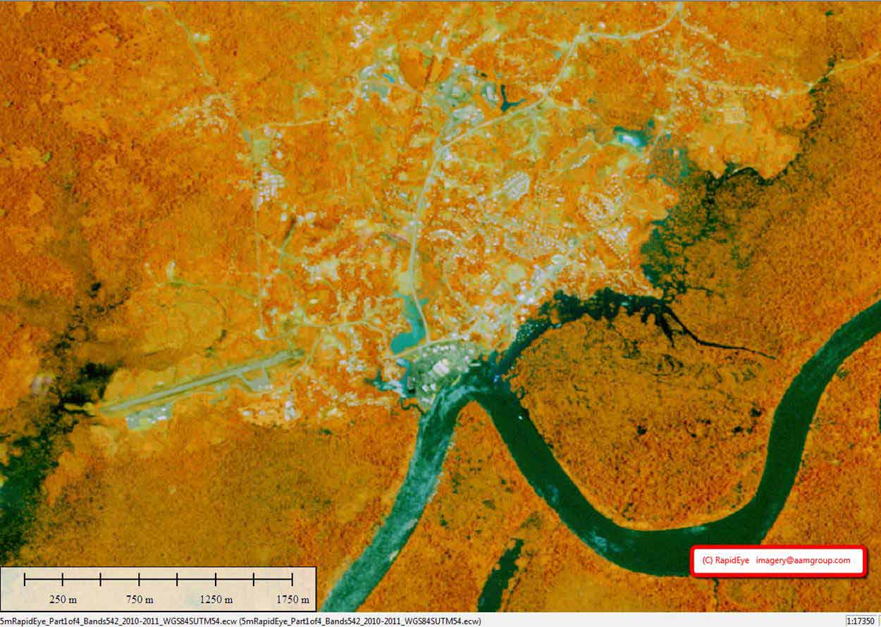
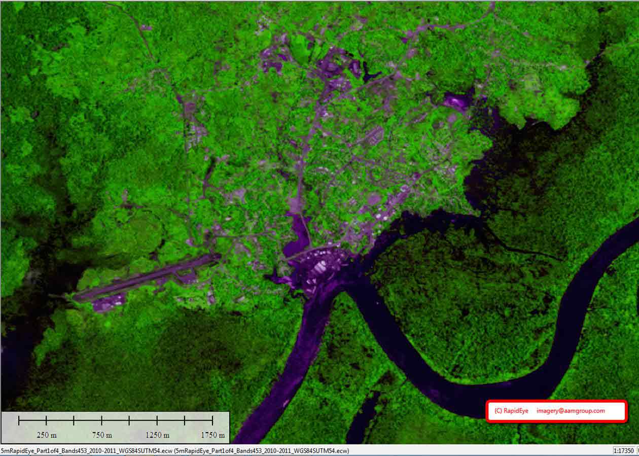
Examples of RapidEye 5m ortho satellite imagery in the vicinity of Kiunga, Papue New Guinea
 (1)")
")

")
")
")