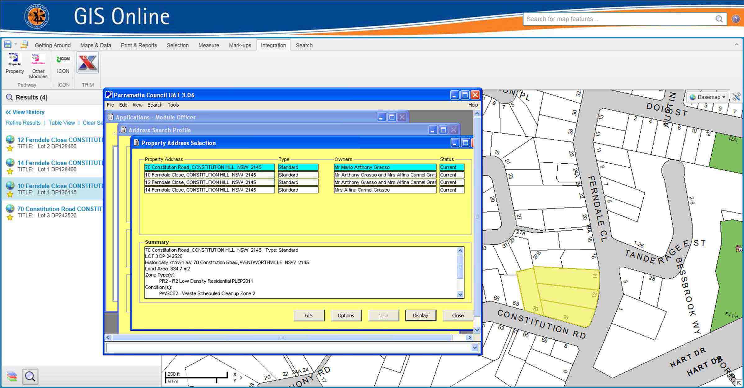
Our geospatial development team have recently completed phase one of a project with Parramatta City Council to implement a web mapping solution that increases the efficiency of data delivery and analysis across multiple business units.
Having built GIS capability over a number of years Parramatta City Council was looking to streamline the integration and delivery of spatial data through a single user-friendly interface. It was important that the proposed solution leverage the Councils existing investment in ESRI technology without the requirement for significant programming or customisation. AAM is an Australian partner and distributor of Geocortex Software, a highly configurable off the shelf web mapping solution. After working closely with Council to gain a thorough understanding of the business challenges faced, a solution was developed that was both flexible and affordable without compromising performance or function. To meet Councils requirements a number of standard Geocortex modules were combined with a custom built Local Government application to deliver a comprehensive web-mapping system. The result is a scalable solution offering centralised management and sharing of GIS data throughout the organisation.
Key Council requirements delivered through this approach include:
- Seamless integration with the existing ESRI platform;
- Short development and implementation timeframe;
- Easily configurable with custom tools to monitor system performance uptake and usage;
- Scalable system architecture allows for increased future functionality including deployment to mobile devices for use by operational staff in the field.
Please click here for a more detailed case study.
For more information on AAM’s geospatial solutions please click here.


