


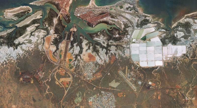
AAM is excited to announce the release of high resolution, high quality and high accuracy imagery for Port Hedland. We will soon be adding Cape Lambert, Karratha and Dampier as well as Onslow to our GeoExtra data sets. These data sets will constantly be updated, and as “mapping standard” data sets we are providing more than a picture! Delivery is available via the AAM Geocloud (web service), or if you require it on a good old fashioned hard disk, we can accommodate your needs. We can easily build basic or more advanced change mapping features into the data sets, based on your needs.
With flexible financial models, fast delivery and customisedservice we will provide a soluton to your mapping, monitoring and tracking needs in these (and other) highly active areas.
Please click the contact button to get in touch with us now.
 (1)")
")
")
")
")
")