


Airborne Imagery Survey
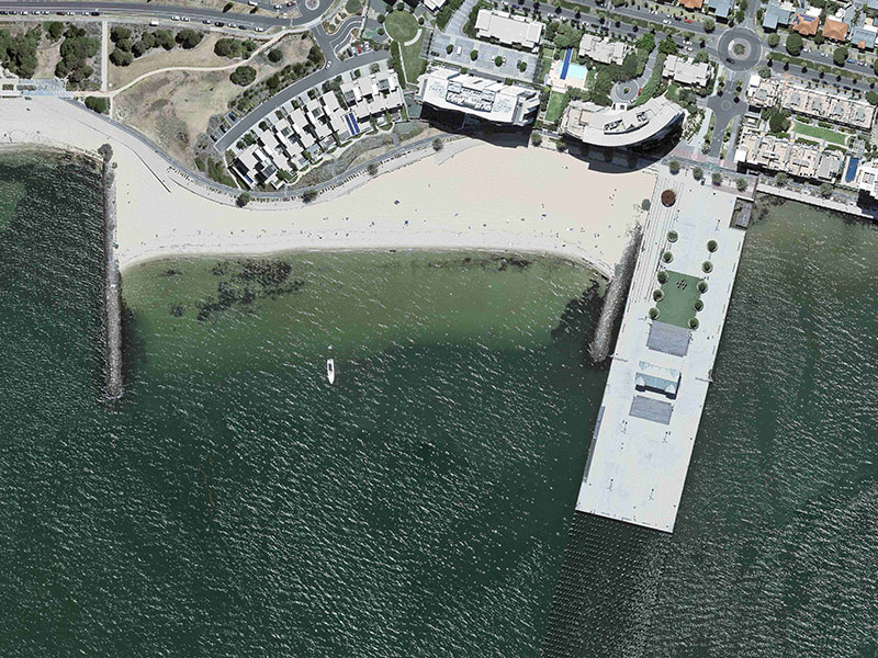
At Woolpert, our airborne imagery survey service isn’t just about handing over data. We show you what you can do with the information you’ve got. Our main aim is to help you make quick, informed choices based on true facts, not just guesses.
You can rely on our skill to provide aerial mapping and airborne imagery insights. We assist you in connecting different data sets, pinpointing the best solutions, and making swift decisions.
Aerial LiDAR Survey
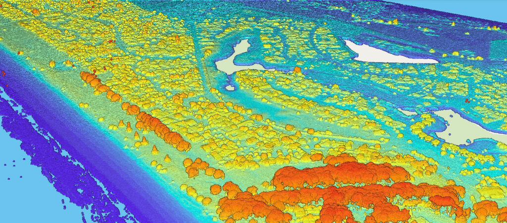
Woolpert’s Aerial LiDAR surveying provides the data you need quickly, eliminating unnecessary delays and facilitating prompt action.
Our focus is ensuring you receive data that is precise and suitable for your specific needs. We help you pinpoint the right type and level of detail in your LiDAR data to make decisions with confidence.