


UAV Survey
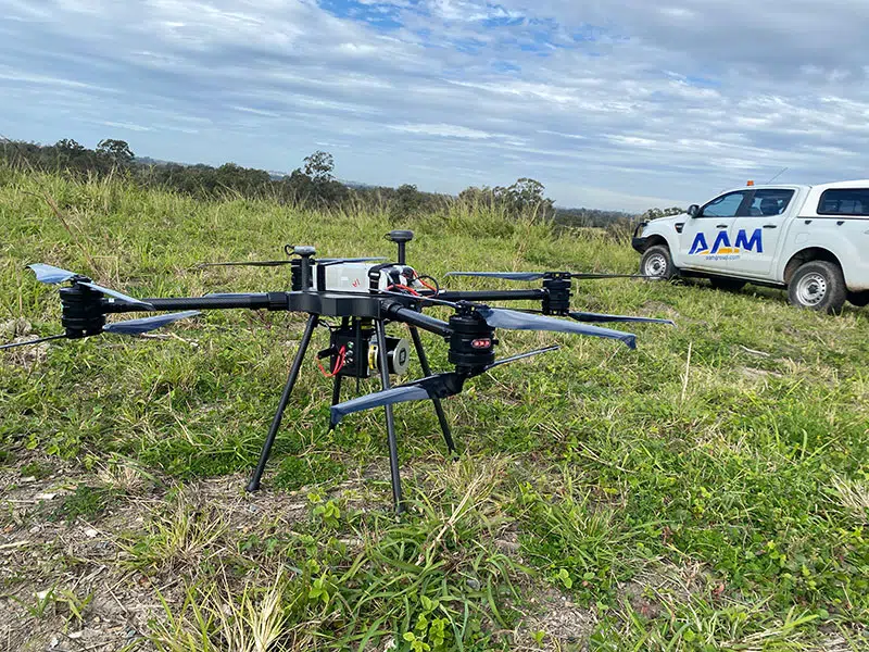
We’re Australia’s leading UAV survey specialists. We deliver fast, accurate drone data that saves time and money.
Construction Survey
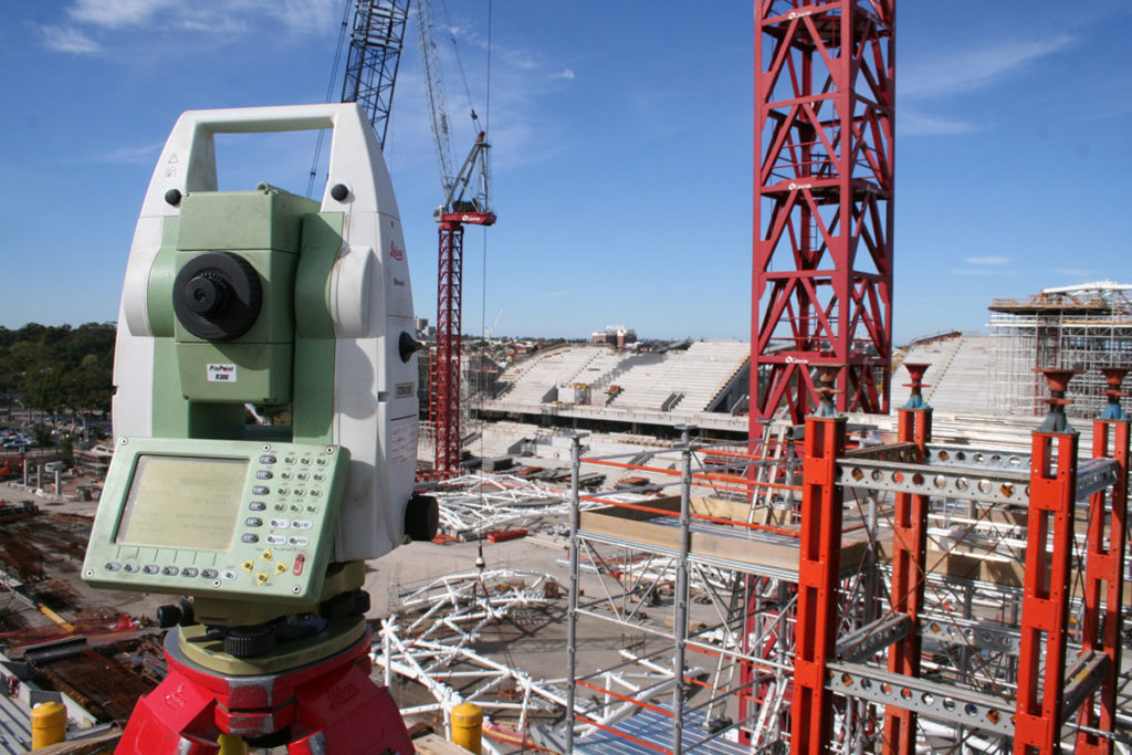
Work from facts not assumptions. Woolpert delivers validated survey data, grounded in real-life measurements and locations, so you can make informed, data-driven decisions.
Monitoring Survey
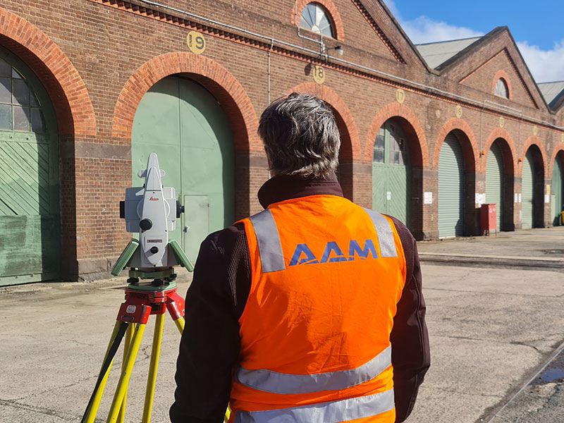
Woolpert’s monitoring survey services go beyond just providing the raw data. Our expert team of monitoring surveyors will help you understand the data so you can derive actionable insights from it.
Engineering Surveys
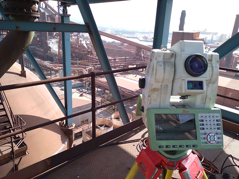
Woolpert’s engineering survey service is defined by its expertise and speed. Backed by 60+ years of experience in Australia, our team always strives to get you accurate answers in the shortest time frame possible.
Bathymetric Survey
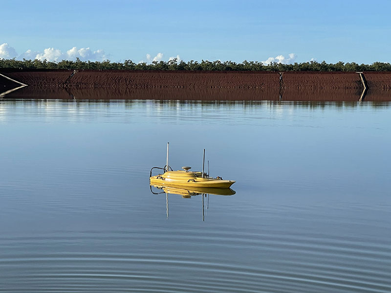
Underwater survey data and 3D modelling. Woolpert has built a reputation of providing accurate and informative data to engineers and scientists, helping them manage projects in and around bodies of water.