The adoption of RapidEye for various baseline and monitoring programs is growing. Examples now exist in Australia, South America and Asia.
With the RapidEye constellation now in operation for 2.5 years, a valuable archive of data has been amassed.
Ten Reasons to use RapidEye for a National & Regional Mapping Program
- Spectral bandset designed for enhanced and improved vegetation discrimination and mapping
- Improved multi-spectral resolution for enhanced vegetation unit delineation and mapping
- Proven capacity to accommodate single-season image acquisition over regional extents
- Increased multi-temporal imaging alternatives for cloud-reduction processing (and delivery of combi-tiles)
- Improved multi-temporal imaging alternatives for verification, including ‘off-season’ acquisition
- Proven commitment by supplier to build National-scale image libraries across Australia
- Proven supplier support for image evaluation and R&D initiatives
- Minimal effort required to adapt some existing processing methodologies to RapidEye image specifications
- Proven ability to provide rapid-response imaging options
- A constellation of 5 imaging satellites ‘at your service’!
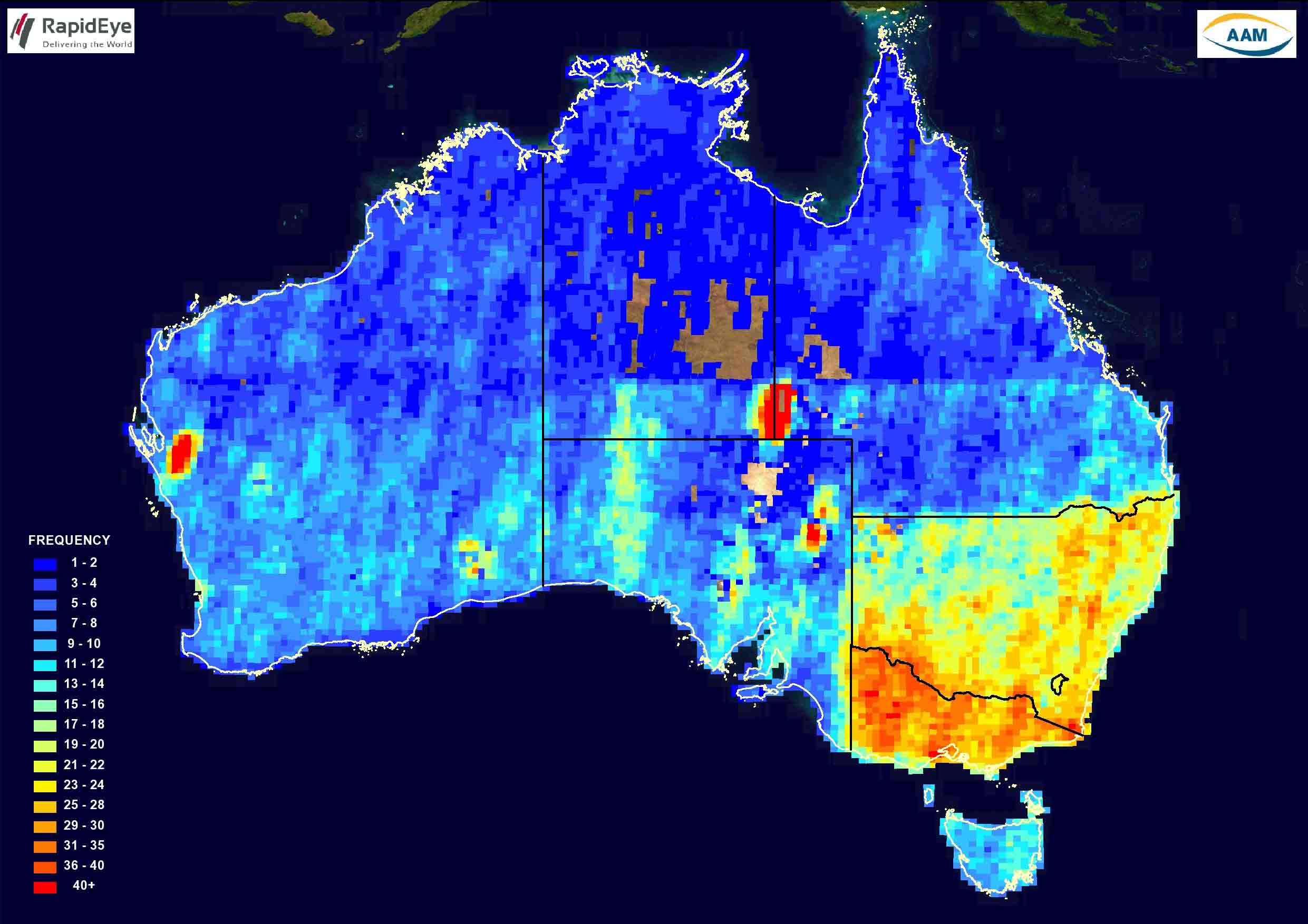
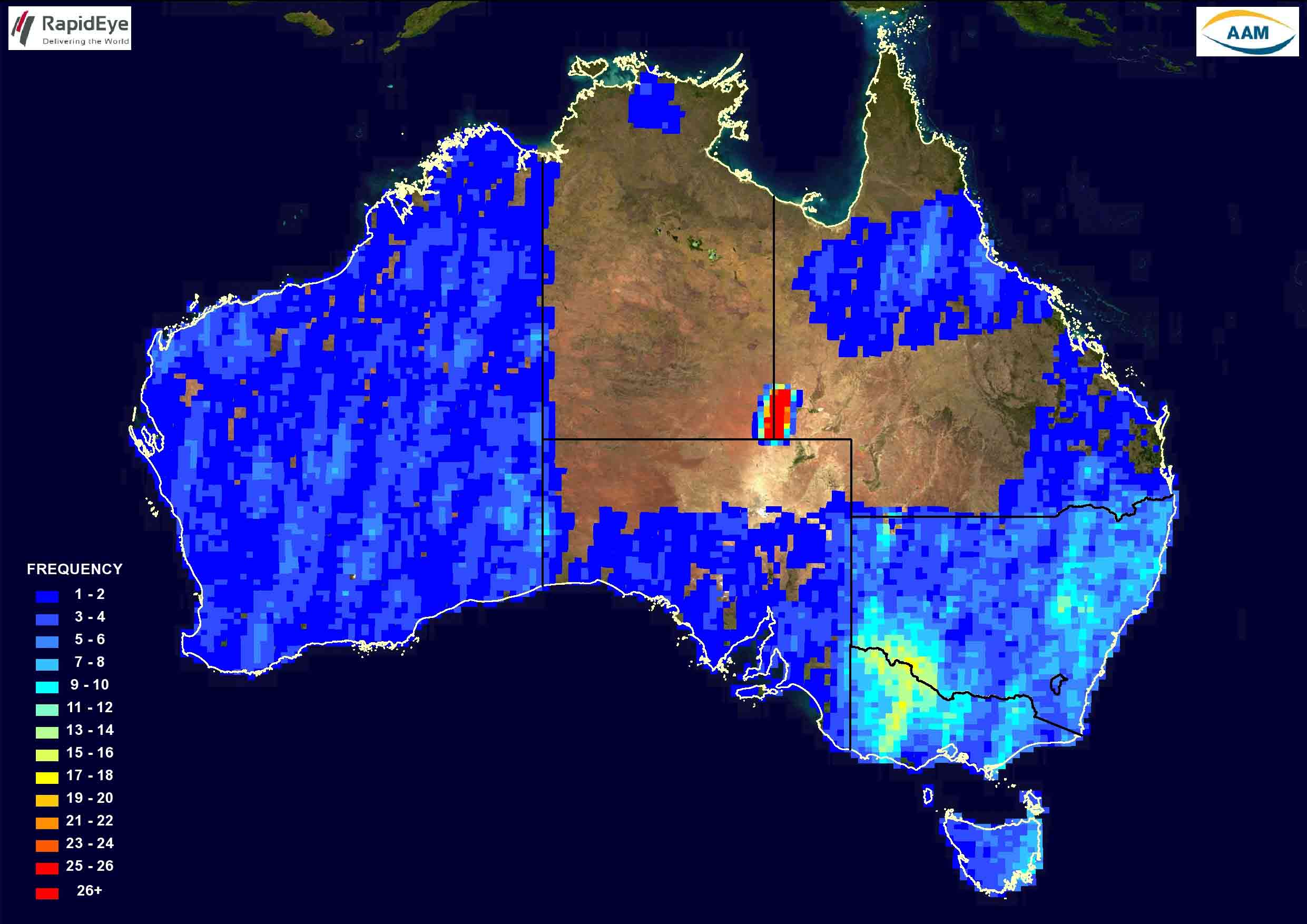
The illustrations below showcase the frequency of RapidEye imagery with less than 20% cloud, over various parts of Australia. For example – some of the shades of blue indicate areas which have been imaged 6-8 times this year , while areas in yellow have been imaged about 20 times in the timeframe nominated.
We invite you to submit areas and timeframes for speculative image acquisition to ensure suitable imagery might be available for your upcoming projects
To obtain RapidEye sample data or a quote, simply email us. For more information, review our RapidEye webpage. You can also have a look at the official RapidEye website.
Above: RapidEye coverage Australia between 01 June – 30 June 2011
Above: RapidEye coverage Australia between 01 February 2009 – 30 June 2011


