


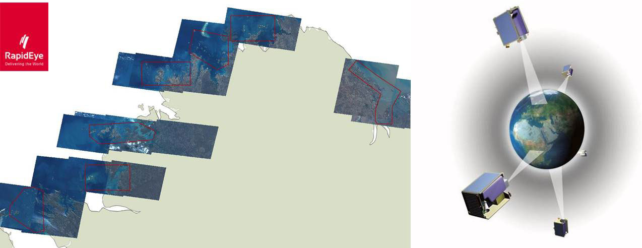
17,500sqkm of RapidEye data was recently acquired along the coastline of Western Australia. Of primary interest were 29 near shore islands. The data will form a fundamental base layer in a regional environmental monitoring program.
A key requirement was for timely, date specific capture to provide a baseline for analysis. All project areas were captured in under a month despite seasonal challenges including cloud and smoke cover. The first images were captured three days after receipt of the order.
AAM’s client chose RapidEye data based on success using this imagery on similar previous projects.
The specific benefits of using RapidEye for this project included:
- data capture over large dispersed areas in a short timeframe
- less than 5% cloud cover over the whole project area
- acceptable off nadir angle during image acquisition
- cost effectiveness of the imagery given the client specifications
In addition to commissioned captures there is an extensive RapidEye archive available for purchase. If you have a requirement for imagery that is not date specific you can check the vast RapidEye archive for data over your project area by visiting this site.
For more information on the benefits of Satellite Imagery for your next project contact us now.
 (1)")
")
")
")
")
")