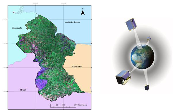
AAM would like to congratulate the Guyana Forestry Commission (GFC) and Indufor as they celebrate the completion of their RapidEye satellite image mosaic. The mosaic covering over 215,000sqkm provides imagery of the entire country of Guyana. With less than 5% cloud cover this represents an exceptional feat for this particular region. RapidEye’s constellation of 5 identical satellites was a key factor in capturing low cloud imagery for this vital monitoring program.
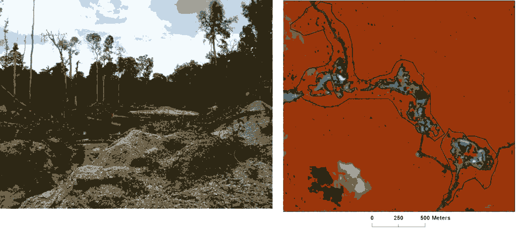
The image mosaic is now being used to assess forest loss and degradation to support the fight against climate change.
A more detailed project overview is available here.
AAM is proud to have managed the supply of imagery for the project.
Forestry Clearing Example shown above
General Location Information for Guyana


