


Lachlan River Bathymetric Survey
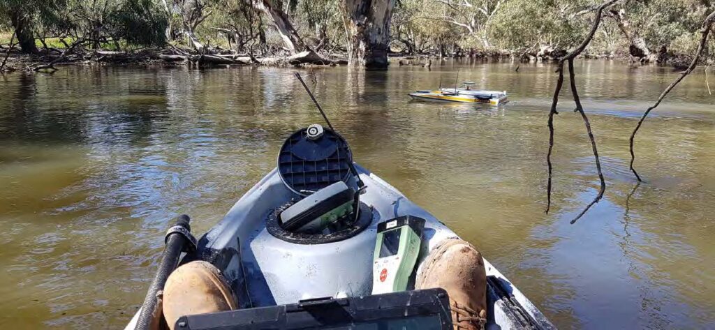
The Department of Planning and Environment (DPE) engaged Woolpert to conduct a bathymetric survey of portions of the bed of the Lachlan River and adjacent creeks.
Captains Mountain Wind Farm: LiDAR & Image Survey
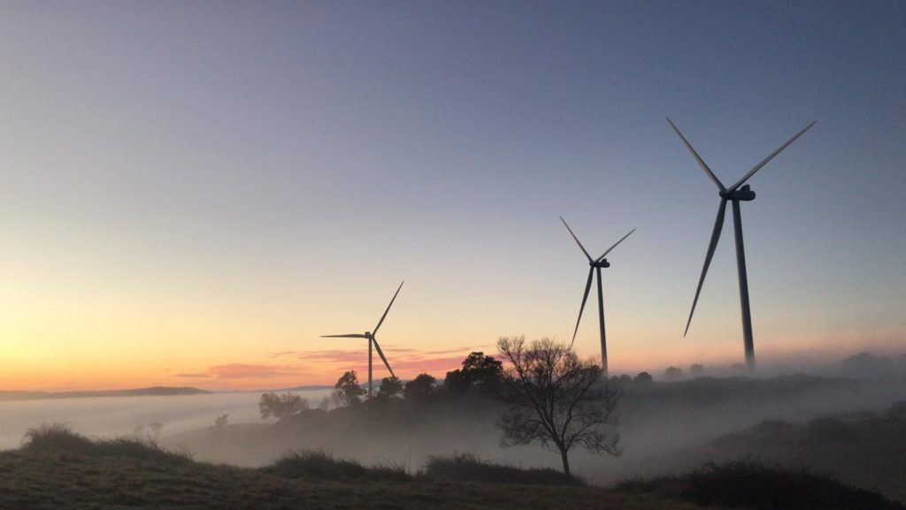
Woolpert was commissioned to acquire and process LiDAR and image data over the 180km2 Captains Mountain Wind Farm in Queensland for Vestas Asia Pacific (Vestas).
Bundaberg Flood Gauge Mapping

Overview Following numerous QLD flood events, Bundaberg Regional Council (BRC) was forced to action a new Burnett River flood mapping plan. The Council delivered a publicly available flood mapping tool ensuring Queensland communities can more easily understand flood events and make better informed decisions. Overview Following numerous Queensland flood events, Bundaberg Regional Council (BRC) was […]
Enterprise GIS for PF Olsen

Background PF Olsen is New Zealand’s largest independent professional forestry services company serving Australia and New Zealand. PF Olsen had a Geographic Information System (GIS) for some time but had come to a point where they needed to deliver more mapping capability to their staff, upgrade their existing GIS system and continue their Business as […]
Gold Coast Water Authority GIS Management
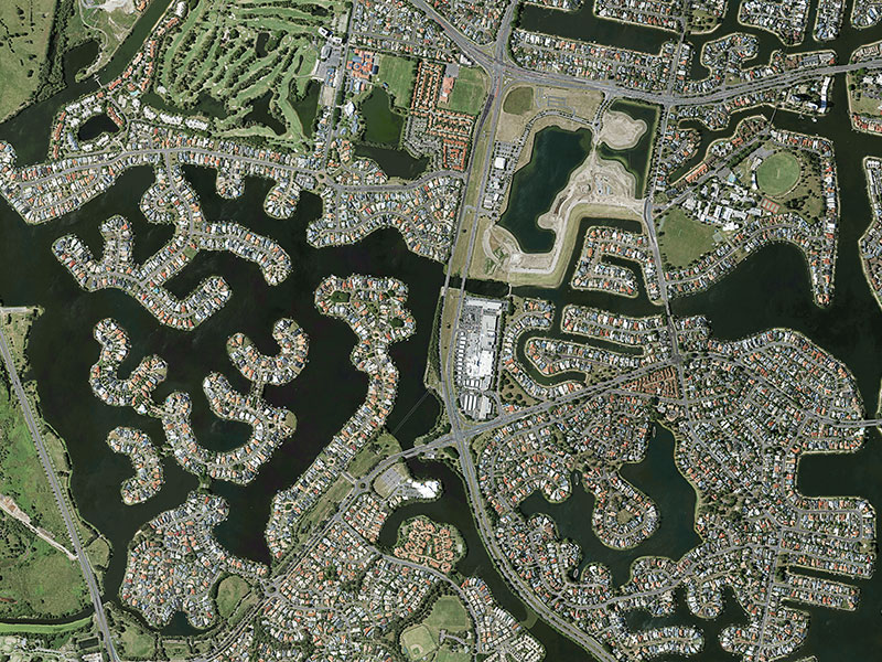
Gold Coast Water Authority GIS Management Enhancing community engagement through interactive GIS functionality Gold Coast Waterways Authority (GCWA) is the statutory body that manages the extensive waterways of Queensland’s Gold Coast from south of the Logan River to the New South Wales border. The 10-year GCWA Management Strategy calls for greater access to waterways, alongside […]