


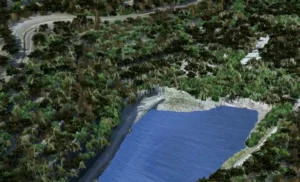

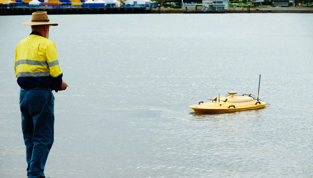
Bathymetric LiDAR for Waterway Management
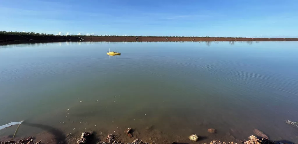
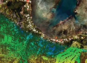
Bathymetric LiDAR for Waterway Management Woolpert were commissioned to survey for a project that involved 645 km2 over a coastal and waterways network in Eastern Australia. The site had a shallow drafted estuary, where bathymetric information was needed to maintain the usability and safety of the waterways. The area was subject to dynamic coastal processes. […]
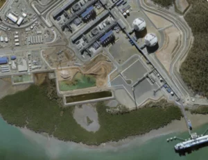
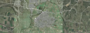
Volumetric Survey of Tarong PowerStation Ash Storage Facility
Volumetric Survey of Tarong PowerStation Ash Storage Facility Overview Understanding and managing risk is crucial within the power generation and mineral extraction industries. Risk mitigation underpins safe practice forming a key part planning for production, operations, waste management and rehabilitation. Stringent legislation also requires high standards to be enforced by the industry. Situation Stanwell Corporation […]
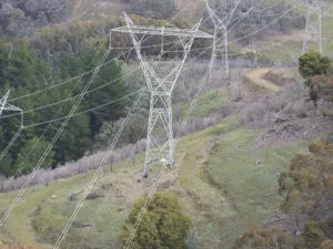
Powerline Vegetation Study
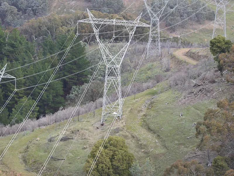
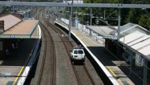
Airborne LiDAR & asset modelling for effective powerline vegetation management Power Line Monitoring for the Energy Sector The safe operation of its 11,000 plus kilometre transmission network is the highest priority of this transmission owner and operator. With assets located in high fire danger areas, and sections of densely vegetated transmission line corridors at risk […]
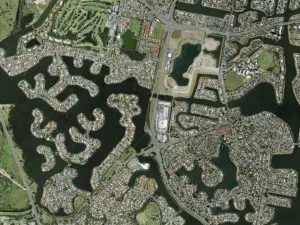
Gold Coast Water Authority GIS Management
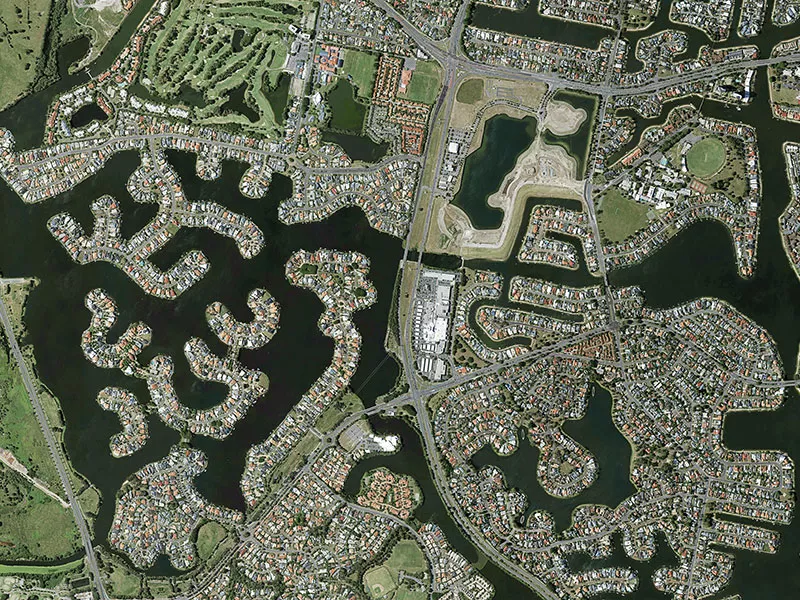
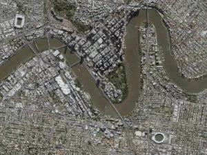
Gold Coast Water Authority GIS Management Enhancing community engagement through interactive GIS functionality Gold Coast Waterways Authority (GCWA) is the statutory body that manages the extensive waterways of Queensland’s Gold Coast from south of the Logan River to the New South Wales border. The 10-year GCWA Management Strategy calls for greater access to waterways, alongside […]