


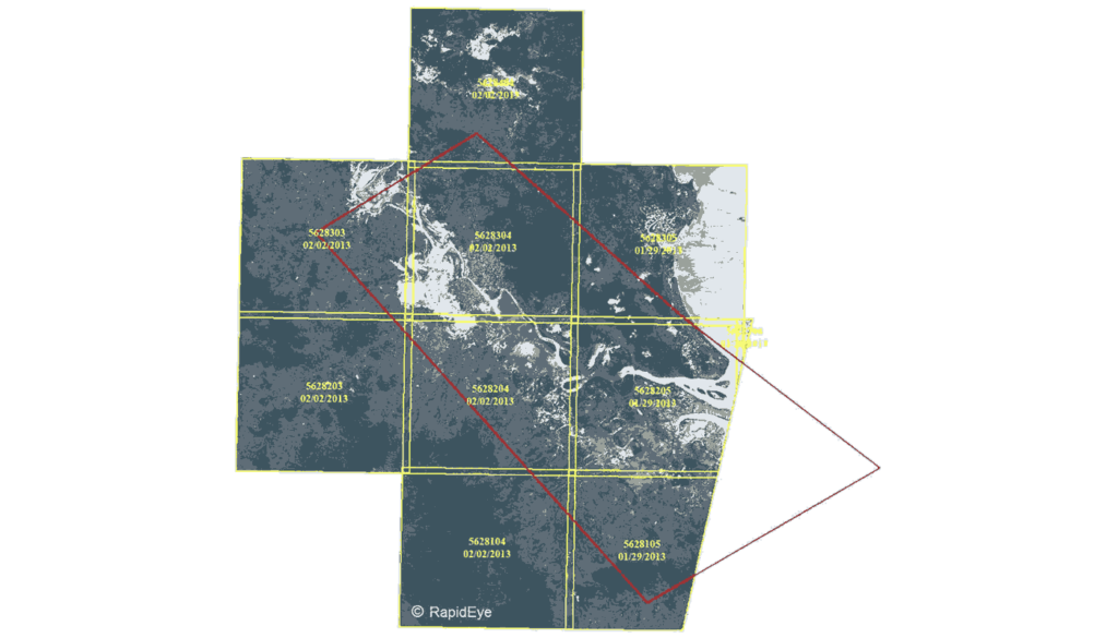
The RapidEye constellation of satellites imaged Rockhampton and surrounds on Friday 2 February around 11am. The flood event was so large that it is evident on a low resolution archive sample from February 2. Within the next day, a sample of the full resolution imagery will be received by AAM.
Having a constellation of five identical satellites with daily revisit capabilities enabled RapidEye to image this region quickly with a low off-nadir acquisition angle. The resulting 5m orthoimages will provide valuable historical information to map the extent of the February 2 event.
For interest in this timely flood coverage contact us now.
 (1)")
")
")
")
")
")