


Ports of Auckland Custom GIS Solution
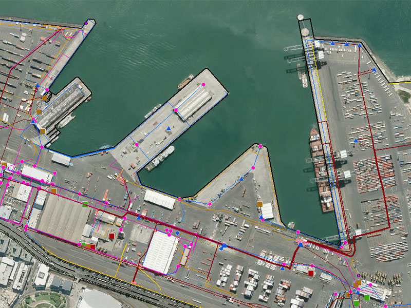
Enhancing maritime productivity through geospatial mapping software Ports of Auckland Limited (POAL) is owned by Auckland Council via its investment arm. The Auckland Port is New Zealand’s largest container port, supporting both trade and tourism. POAL is committed to the thoughtful use of port land and responsible infrastructure development. POAL aims to give New Zealanders […]
Forward Works – Rebuilding Canterbury with Web Mapping
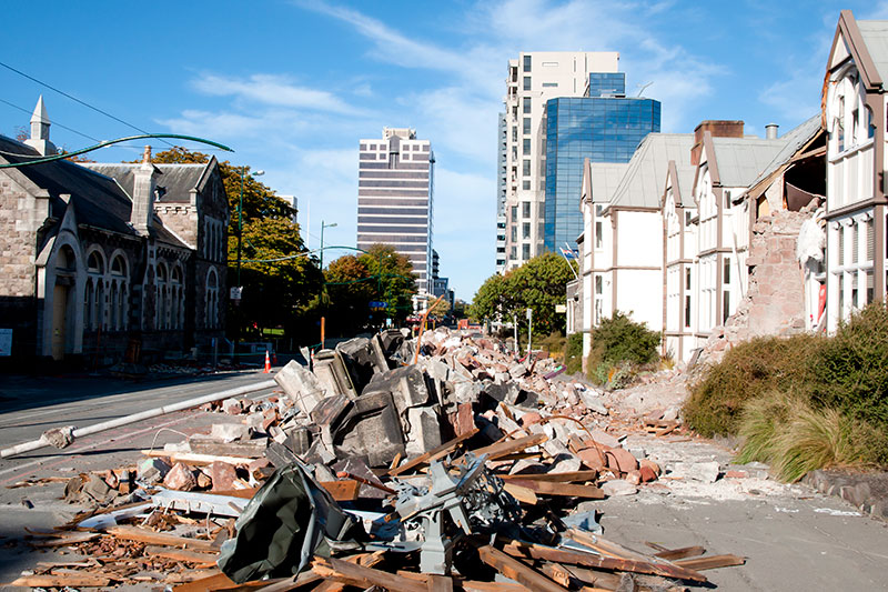
Forward Works – Rebuilding Canterbury with Web Mapping Background Land Information New Zealand (LINZ) is the New Zealand public service department charged with geographical information and surveying functions, handling land titles and managing Crown land and property. Following the 2011 earthquake, LINZ worked with the Canterbury Earthquake Recovery Agency (CERA) to identify damage and coordinate […]
Gold Coast Water Authority GIS Management
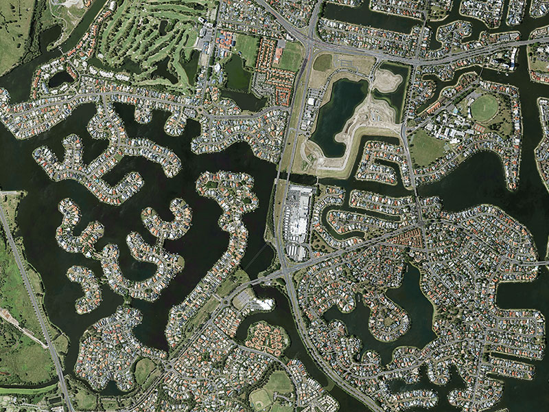
Gold Coast Water Authority GIS Management Enhancing community engagement through interactive GIS functionality Gold Coast Waterways Authority (GCWA) is the statutory body that manages the extensive waterways of Queensland’s Gold Coast from south of the Logan River to the New South Wales border. The 10-year GCWA Management Strategy calls for greater access to waterways, alongside […]