


Sunshine Coast Airport Terminal Expansion Survey

Sunshine Coast Airport, represented by Rede Project Consulting, commissioned Woolpert to provide a Feature and Level Survey, 3D Laser Scan and Building Information Model (BIM) of SCA.
Lachlan River Bathymetric Survey
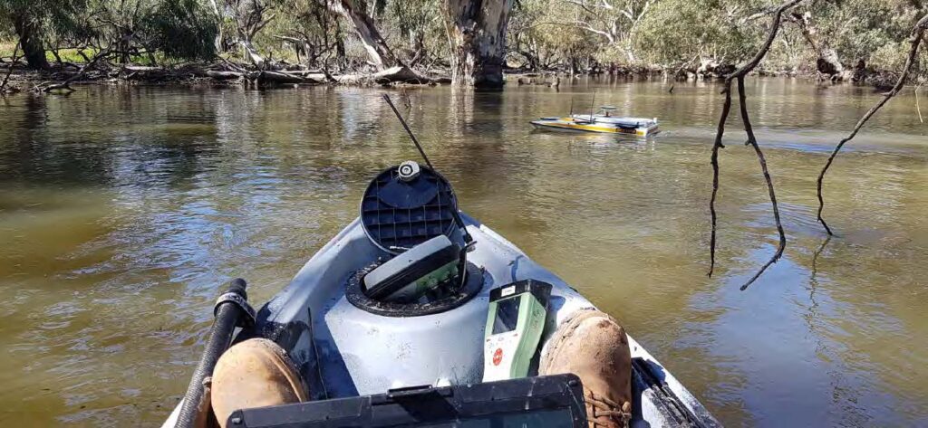
The Department of Planning and Environment (DPE) engaged Woolpert to conduct a bathymetric survey of portions of the bed of the Lachlan River and adjacent creeks.
Captains Mountain Wind Farm: LiDAR & Image Survey
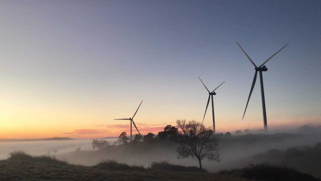
Woolpert was commissioned to acquire and process LiDAR and image data over the 180km2 Captains Mountain Wind Farm in Queensland for Vestas Asia Pacific (Vestas).
Cross Hybrid Survey Solution for Mining
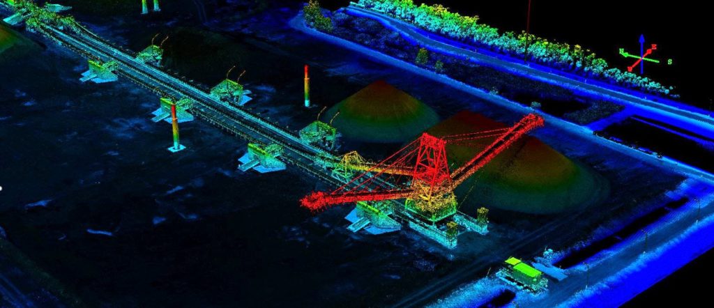
Woolpert are commissioned to complete recurring survey work for a mining company based in South East Queensland.
Bathymetric LiDAR for Waterway Management
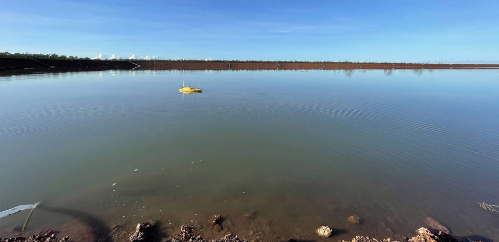
Bathymetric LiDAR for Waterway Management Woolpert were commissioned to survey for a project that involved 645 km2 over a coastal and waterways network in Eastern Australia. The site had a shallow drafted estuary, where bathymetric information was needed to maintain the usability and safety of the waterways. The area was subject to dynamic coastal processes. […]
Surveying a Rail Corridor for Transport New South Wales
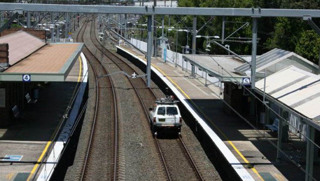
Woolpert were commissioned to conduct a 2.7km railway corridor Mobile Laser Scanning (MLS) survey to determine its Building Information Model (BIM) suitability. This required accurately defining assets and utilities with dense point cloud information for feature survey and 3D modelling production.
Brookfield Rail Line Survey
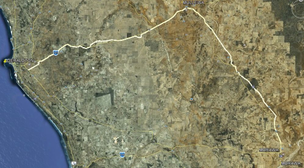
Brookfield Rail Line Survey Brookfield Rail Line Survey Overview AAM were commissioned to survey 188 kms of optimised rail line from Tilley Siding, Morawa to Narngulu Yard in Western Australia. The as-constructed survey required capturing the main line and passing track’s alignment amongst other services. An accuracy of +/- 0.03 or better was also required […]