


Sunshine Coast Airport Terminal Expansion Survey

Sunshine Coast Airport, represented by Rede Project Consulting, commissioned Woolpert to provide a Feature and Level Survey, 3D Laser Scan and Building Information Model (BIM) of SCA.
Lachlan River Bathymetric Survey
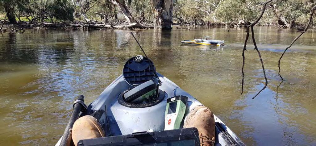
The Department of Planning and Environment (DPE) engaged Woolpert to conduct a bathymetric survey of portions of the bed of the Lachlan River and adjacent creeks.
Captains Mountain Wind Farm: LiDAR & Image Survey
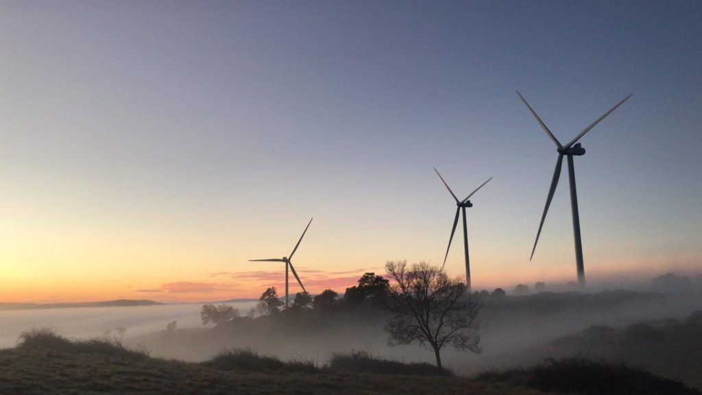
Woolpert was commissioned to acquire and process LiDAR and image data over the 180km2 Captains Mountain Wind Farm in Queensland for Vestas Asia Pacific (Vestas).
Cross Hybrid Survey Solution for Mining
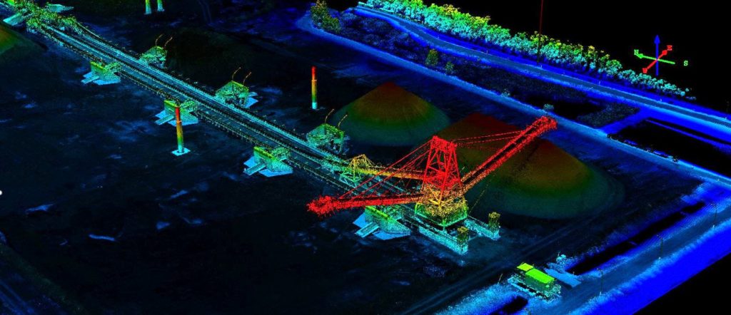
Woolpert are commissioned to complete recurring survey work for a mining company based in South East Queensland.
3D City Modelling of Johannesburg

Woolpert was commissioned to undertake Aerial LiDAR, A3 Digital Orthophoto Imagery, Oblique Imagery, Rendered 3D Building Models and Building Footprints for the City of Johannesburg (CoJ) metropolitan area measuring 2,950 square kilometres.
Volumetric Survey of Tarong PowerStation Ash Storage Facility

Volumetric Survey of Tarong PowerStation Ash Storage Facility Overview Understanding and managing risk is crucial within the power generation and mineral extraction industries. Risk mitigation underpins safe practice forming a key part planning for production, operations, waste management and rehabilitation. Stringent legislation also requires high standards to be enforced by the industry. Situation Stanwell Corporation […]
LiDAR for Chirano Mine
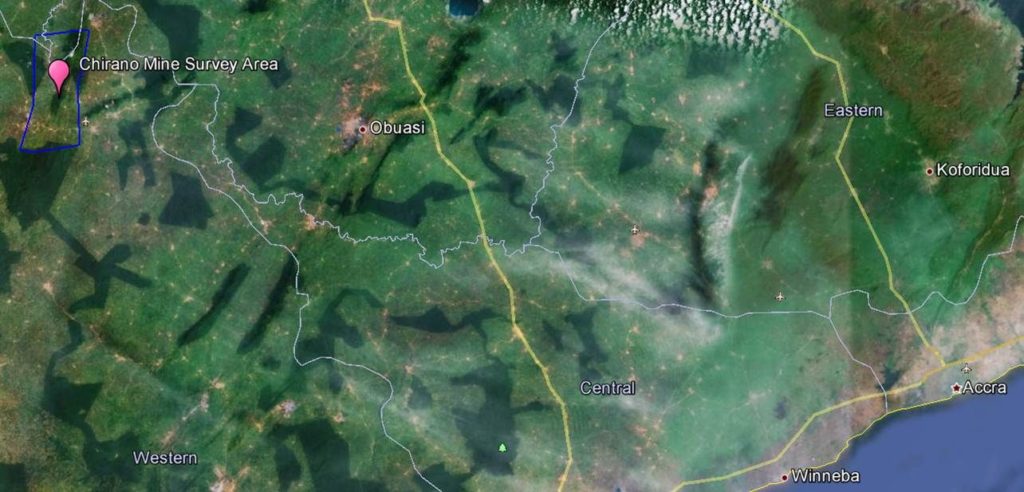
LiDAR for Chirano Mine Overview This project involved aerial Lidar and ground surveying activity covering 430 square kilometres Ghana’s Western Region within three months. . Situation Open pit and underground ore are processed at The Chirano plant processes ore with an annual 3.5 million tonnes capacity. This involves crushing, ball mill grinding, leaching, and CIL. […]