


Forward Works - Rebuilding Canterbury with Web Mapping
Background
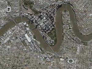
Land Information New Zealand (LINZ) is the New Zealand public service department charged with geographical information and surveying functions, handling land titles and managing Crown land and property. Following the 2011 earthquake, LINZ worked with the Canterbury Earthquake Recovery Agency (CERA) to identify damage and coordinate repair activities across Christchurch and other affected areas.
LINZ was the custodian for the project, but CERA was involved.
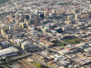
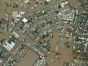
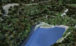
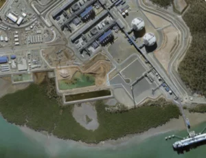
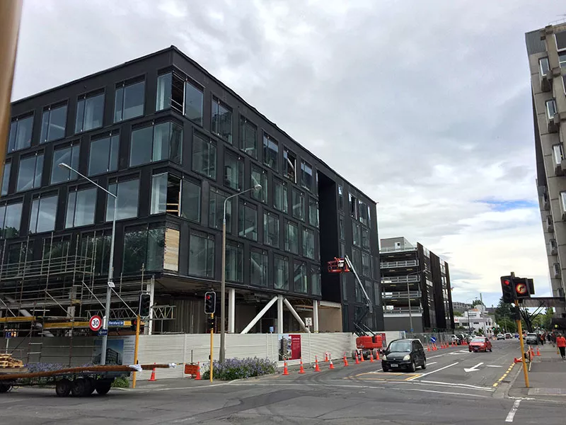
The infrastructure supporting Christchurch was heavily damaged in the 2011 Earthquake requiring substantial repair and maintenance activities. CERA needed a tool to manage infrastructure plans and improve their environments. They needed spatial information to help them make more informed decisions and to save time and money.
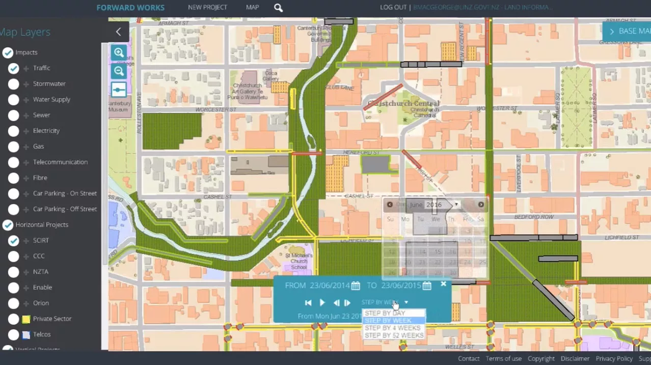
The Forward Works web viewer tool developed by AAM supports and accelerates the rebuild of Canterbury. It provides recovery agencies, public and private sector users a shared view of horizontal infrastructure repair, planned buildings, and other construction.
The Challenge
CERA wanted to avoid delays in the recovery that could end up costing the taxpayer and delay developments.
There was no online tool or a centralised system that shared important information across departments involved in the reconstruction. CERA needed a system that provided all the departments and contractors with vital project information such as all vertical and horizontal projects like underground pipes or buildings. CERA wanted collaboration across recovery and rebuild projects. For example, rebuild construction was uncoordinated between different departments/contractors and there were situations where the same piece of road was dug up multiple times by different contractors.
As coordination decisions were made daily, the aim of the project was to develop a shared view of horizontal infrastructure repair and built environment, construction plans and activities. Recovery agencies and stakeholders needed to factor in the planned forward works across earthquake devastated Christchurch and surrounding areas into their own construction plans.
The absence of a centralised system resulted in:
- Lack of co-ordination and planning work increased unforeseen variations and programme delays, and ultimately reconstruction costs.
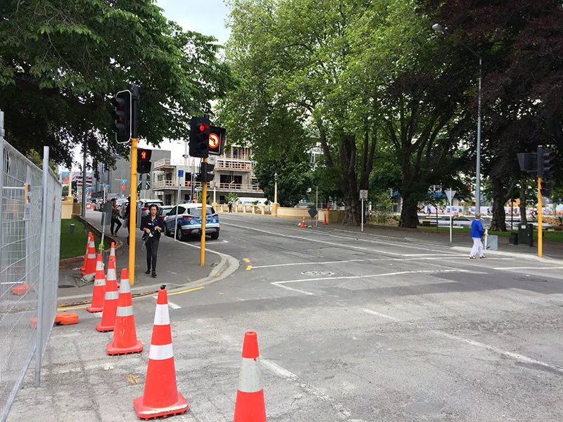
- Traffic delays across the CBD due to multiple projects happening in the same space and time. This results in lost productivity
- Higher construction costs, for example, during a 6-week period, one road was dug up 3 times
The Solution
Working closely with Jacobs and Media Suite AAM set out to create an easy-to-use web mapping tool to enable planners and contractors to visualise forward works and plan more efficiently.
The Forward Works viewer, developed by AAM using Esri ArcGIS, provided the following core functionality:
- A Web Map – enabling users to view rebuild and repair projects, and access a wide range of important contextual data
- A Time Slider – a tool set to provide users with the ability to explore projects in relation to other projects over time and identify potential clashes
- Conflict Detection – automatically highlighting instances where projects clashed over space and time
- Opportunity Detection – project collaboration tool highlighted locations and activities that could potentially increase rebuild efficiency
- Data Import and Export – Enabled feeds from the Canterbury Spatial Data Infrastructure programme and updates from 3rd parties to keep all information up to date
- Cloud hosting on Geocirrus, of the application and spatial data, meant LINZ did not require additional IT infrastructure. This helped accelerate implementation and user access.
- Telephone support to users (government staff and private contractors) and other stakeholders kept them productive when using the viewer.
The Results
The tool enhanced decision-making on the scheduling and sequencing of public sector construction activities, and facilitated coordination with private sector landowners and property developers on their works planning.
In 2014, LINZ announced that The Forward Works Viewer had exceeded all expectations by generating more than $4 million in cost-savings – a figure that is set to grow to more than $20 million in coming years. The web mapping tool lets rebuild agencies and contractors:
- Access to accurate and up-to-date information
- Improve communication and coordination among stakeholders
- Avoid costs and programme delays caused by unforeseen variations and build clashes
- Reduce the impact of construction on residents (fewer road closures, power outages, etc.)
The Forward works viewer is respected by many in the AEC industry, leading to an extension beyond Christchurch to support infrastructure projects in Auckland. There are plans to include Wellington infrastructure projects as well.