


Mapping the Urban Landscape
Deliver smarter and safer solutions with 3D mapping
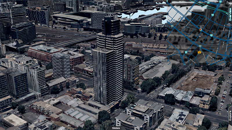
Investing in a 3D digital twin of your environment allows you to plan, build, deliver, and assess the impact of your project before your team sets foot on the ground. Make data-driven decisions, realise cost-savings, and reduce risk for modelling actual and potential scenarios in the virtual world.
.
SOLID FOUNDATIONS, ADVANCED SOLUTIONS
“We have the skills to build these solutions from the ground up with what we've learned and achieved over the last 60+ years.”
Chris Tanner - Woolpert
Precision mapping and analysis of urban landscapes
With offices in Melbourne, Sydney, Wollongong, Brisbane and Perth, our survey teams are available nationwide to provide you with quality, accurate data to support your business goals.
Whether you’re building a smart city, a telecommunications network, or valuing commercial real estate, our mapping technology, scientific expertise and objective analysis allows you to use spatial data to make more informed decisions.
Why invest in detailed urban mapping data and GIS solutions
- Conceptualise your vision with a virtual environment you can see and walk through
- Model existing and proposed built forms and their impacts on people
- Promote shared understanding between project partners and stakeholders
- Modify the map for real-time progress to find patterns and avoid or mitigate risk
- Develop web-based applications to access data visualisations and simulations
.
.
Why choose Woolpert to map your urban environment
- Off-the-shelf and custom solutions to reduce risk and cost
- Advanced laser scanning, 3D modelling and BIM
- Over six decades of expertise
- Track record in environmental sustainability
- Experienced and qualified technicians, analysts and project managers
- Accredited surveyors and aerial and UAV pilots
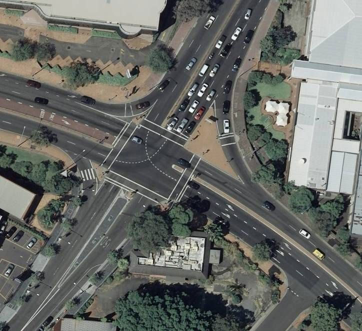
How we map your urban landscape
STEP 1
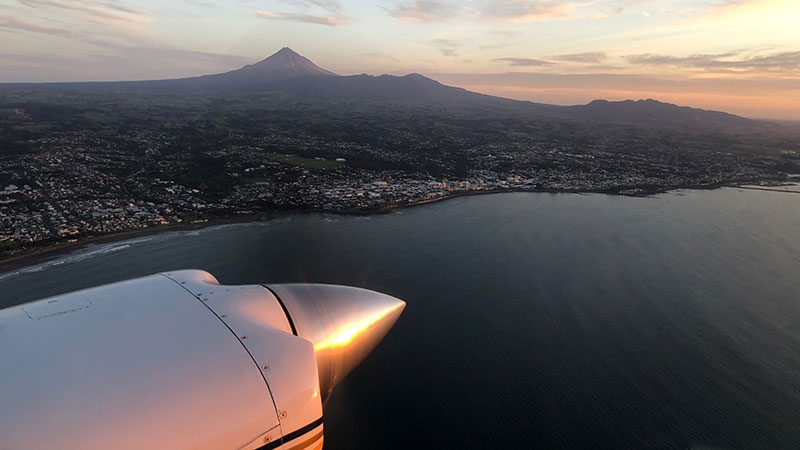
Aerial survey for large area mapping
We capture imagery and LiDAR data with manned aircraft to effectively map large areas. UAV or drone surveying is another appropriate survey technology suitable for certin situations.
STEP 2
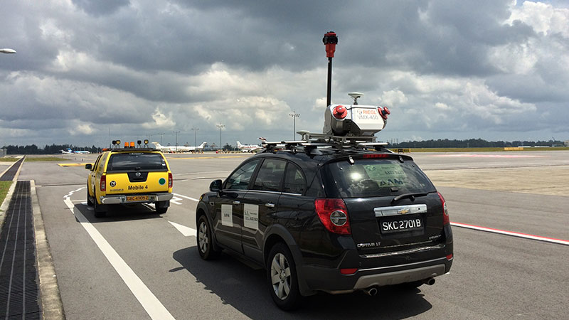
Supplement with ground survey data
If required, we gather more survey data from the ground. Our registered surveyors conduct on site surveys or use Mobile Laser Scanning (MLS) on moving vehicles.
STEP 3
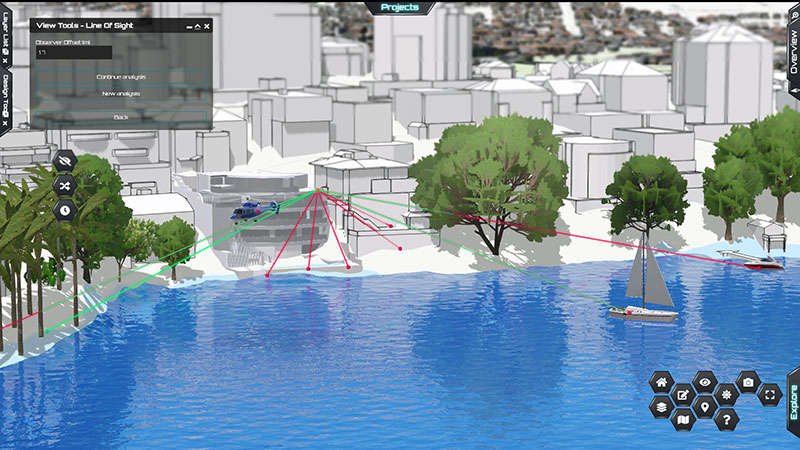
Data process & delivery
Survey and mapping data are quickly processed and checked by our expert teams. We present and deliver spatial data in the client’s desired formats. This can range from high definition building models to mapping data that can be accessed and manipulated on Geographic Information Systems (GIS) and digital platforms.
Work with qualified, experienced, safety-certified professionals
Our survey and technical specialists are located throughout Australia and have the qualifications, training and experience to deliver the solutions you need.
ISO 9001 accredited operations in Australia for effective quality management system
Licensed pilots for crewed and uncrewed aerial survey (UAV or drone)
Registered surveyors and expert data processing teams
How we’ve done it before
As one of the most experienced and largest geospatial companies in the Southern Hemisphere, we’ve evolved alongside changing technology and shifting expectations. Our expertise allows us to deliver solutions for projects that vary widely in size and complexity.
The tools we use
- Geocirrus
- Web mapping Solutions
- Airborne LiDAR and Imagery Survey
SUPPORT FOR SUSTAINABLE CITIES AND COMMUUNITIES
“People and quality of life and making things better – that’s what we’re about.”
Chris Tanner - Woolpert
.