Who We Are
Who We Are
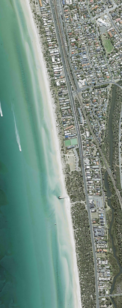
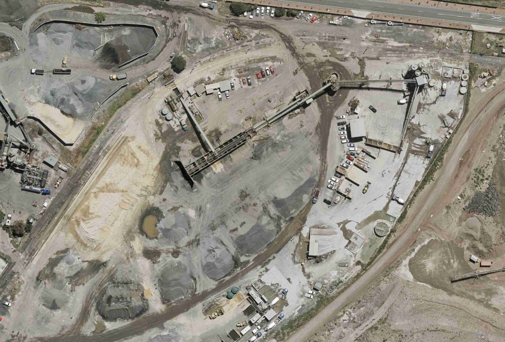
Woolpert is a leading geospatial services provider, whose robust data and advanced digital solutions underpin the biggest projects in Asia-Pacific and beyond. We offer the full spectrum of geospatial expertise from land surveying, aerial mapping and the integration and implementation of Geographic Information Systems (GIS).
Our geospatial insights give you certainty
In other words, we’re the geospatial company that gives you certainty.
The kind of certainty that helps you decide where to dig your mine. Or where to build your multi-million-dollar complex. Or any of hundreds of critical operational decisions which require collaboration on robust, real-time data.
We give you data, analytics and digital solutions with fit-for-purpose levels of detail and accuracy.


Our Leading Numbers
300,000km²
Aerial Mapping every year
42
Countries we've worked in
7,081
Projects completed since 2017
Our Executive Leadership Team
With deep experience in their specialist fields and with over 300 years of combined experience, our executive leadership team is well placed to guide the strategic direction of Woolpert in the Asia-Pacific.
Why choose Woolpert?

We’re the experienced geospatial company
We bring you 60+ years of experience. 60+ years of market leadership and continuous innovation, staying ahead of the game with cutting-edge technology.
We know what roadblocks you’re potentially going to face in your project, because we’ve faced them hundreds, if not thousands, of times before.
AAM was founded by two pioneering surveyors who advanced the aerial mapping industry and technologies in Australia. Our teams have a deep understanding of the underlying science and principles of geodesy, photogrammetry, cartography and information technology. When combined with our advanced technology, this expertise gives you the assurance you need to make bold decisions fast.
We’re the end-to-end geospatial company.
We offer the full spectrum of geospatial services from capturing survey and mapping data through to insight reporting and implementing Geographic Information Systems (GIS).
We are experts in capturing and processing data at every stage of your project, and understand how this affects your downstream results.
We see the big picture, and ensure you get the full utilisation of your data and insights across the lifecycle of your current project and beyond.

We’re the digital geospatial company.
Our clients choose us because they know our solutions will accelerate their digital transformation.
You don’t just need the latest technology to make even more informed decisions faster, you need it to integrate fully with your existing systems. You need instant deployment into web app, without the need to build or implement new platforms.
Find out more about VertiGIS Studio, LiDARnetics, 3D modelling and other cloud-based solutions.
Leading Australian provider of electricity transmission network services

We’re the configured-to-your-needs geospatial company.
Our digital geospatial solutions are fully configurable. We know you need to move fast, so we help you get the insights you need, quickly, in a way that’s accessible, collaborative and easy to use.
Plus, we tailor our solution to meet your specific needs. We know the right data to capture at the beginning, based on what you need at the end.
We take the time to understand the scope of your project so we can give you data that is “fit for purpose” without inclusions you don’t need.

We’re the Quality and Safety geospatial company.
We follow the most stringent safety standards, giving you even greater certainty and less risk.
Our Australian operations are ISO9001 accredited for an effective quality management system, and our safety management system adheres to the requirements of ISO45001:2018.
Senior Mechanical Engineer
Leading Global Steel Provider
More informed decisions with more certainty – faster.
Talk to us to find out more about how our geospatial insights can help you.


