


Network Mapping and Analysis
Minimise the surprises on your project with solid foundation geospatial data sets
Reduce costs and complexity when you’re managing geographically distributed assets. Base your decision on geospatial data sets of known accuracy and integrity to inform at all stages: plan, build, manage and maintain.
.
ACCURATE DATA, DETAILED ANALYSIS
“AAM’s terrain, asset and associated datasets assist a diverse range of specialists from design and construct to management. This ensures we maximise their return on investment for legislative, civil and environmental requirements.”
Michael De Lacy – AAM
Boost on-the-job safety with integrated data
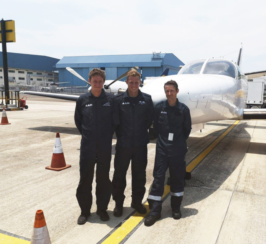
With offices nationwide, our land and aerial survey teams are available – for rapid access to remote areas – to survey your assets. Our teams work collaboratively with our subcontractors and partners.
From regional digital terrain mapping, to millimeter-precision survey of assets, our data acquisition and analysis is customised to your project needs.
How we map and analyse your network
STEP 1
Confirm requirements and priorities
Optimise the data capture approach given the project stage and the nature and characteristics of the assets – transmission or distribution.
STEP 2
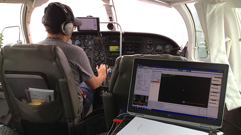
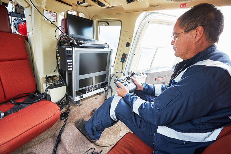
In-field data capture
Rapid acquisition using advanced sensors to minimise project risk.
Integrated in-field and office QA on data to confirm integrity prior to data processing and product generation.

STEP 3
Rapid AI data processing
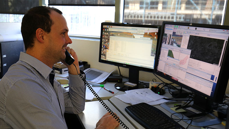
Processing, analysis and reporting via world-leading LiDARnetics.
Provide business-ready foundation datasets supporting critical project decisions.
Seamless data integration with our clients’ workflows.
Why invest in complete, detailed and up-to-date mapping?
- Better, faster decisions through accurate terrain and asset mapping and imaging
- Map what-if scenarios and risk planning with detailed 3D models
- Optimise assets and cut maintenance costs with detailed data and analysis
- Resolve complex issues faster with a shared understanding from accurate mapping
- Increase safety and reduce disruption to stakeholders
.
.
Why choose AAM network mapping and analysis?
- Precision laser scanning, high resolution imagery, thermal and UV sensors and AI-driven asset modelling
- Integrate with applications like ESRI,Google Earth, PLS-CADD and SAP
- Product accuracy to your requirements
Work with trained professionals certified for your environment
Our land and aerial survey professionals are safety-certified to deliver services when and where you need them.
ISO 9001 accredited Australian operations for effective quality management systems
Licensed pilots for drone-assisted mapping and modelling
Registered and licensed surveyors for regulated projects
How we’ve done it before
Whether it’s identifying site potential, maintaining assets, or managing compliance, we have the expertise across technology, industries, and environments to deliver. With more than 500,000 linear kilometres of corridor assets and over 300,000 linear kilometres of powerline assets, we are familiar with capture and delivery using a broad range of tools and analysis approaches.
The tools we use
Since conducting our first aerial surveys more than 50 years ago, our technology has evolved and expanded to a full suite of high resolution imaging devices, and manned and unmanned aerial craft.
-
LIDAR and photogrammetry
(including shallow water autonomous vehicle) - PLS-CADD and proprietary AI mathematical modelling
- Corona UV camera and thermal imaging
DATA AND EXPERTISE
“Whether it’s for design and construct, maintenance activities, or critical storm incident assessment, we have the team and the technology to deliver.”
Michael De Lacy - AAM
.