


Bundaberg Flood Gauge Mapping
Overview
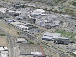
Following numerous QLD flood events, Bundaberg Regional Council (BRC) was forced to action a new Burnett River flood mapping plan. The Council delivered a publicly available flood mapping tool ensuring Queensland communities can more easily understand flood events and make better informed decisions.
Overview
Following numerous Queensland flood events, Bundaberg Regional Council (BRC) was forced to action a new Burnett River flood mapping plan. The Council delivered a publicly available flood mapping tool ensuring Queensland communities can more easily understand flood events and make better informed decisions.
Situation
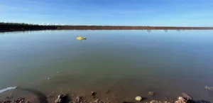
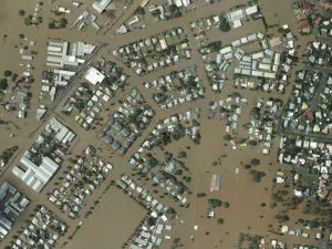
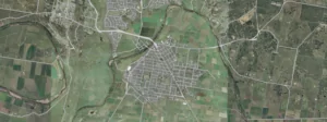
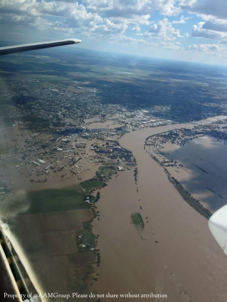
Bundaberg had experienced one of the largest floods in its history, with the Burnett River which measuring 9.53m. Over 7,500 residents were evacuated causing extensive damage to property and infrastructure.
Traditional flood studies and maps are primarily used for disaster management, understanding potential infrastructure impacts and for land use planning. Flood studies produce maps of flood extent, depths, levels and velocities based on various Annual Exceedance Probability (AEP). While appropriate for land use planning and setting habitable floor levels, they are not suitable for flood emergency management.
An understanding of expected property inundations were now inevitably required.
Dwayne Honor, BRC’s Manager of Design explains that “The simple question everyone wants answered is –What does a given flood mean to me on my block of land?”
.
.
Action
Council fast-tracked development of an online mapping tool capable of detailing residents on locations where property inundation is expected. Promising residents of a swift completion prior to storm season, Woolpert helped implement a public facing Geocortex Essentials website providing users with a more accurate likelihood of flood expectations.
Steven Bowden, BRC’s GIS Team Leader explains that “the flexibility of the Geocortex Essentials workflow manager to support the concept of pick a gauge, pick a height and see the results, as well as the ability to deliver the system across a wide range of mobile devices,” was key in choosing the VertiGIS Studio technology.
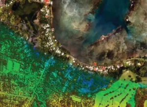
Geocortex Essentials
BRC public facing Geocortex Essentials website helps users identify at risk areas to be better prepared for unprecedented flood events.
.
Result
Anxious communities drove BRC to deliver a simplified, more comprehensive flood mapping tool providing the ultimate peace of mind to Bundaberg residents. Expected inundation details are now easily accessible reinforcing a once-deteriorating relationship between BRC and it’s community – It’s essentially created a safer, better-informed Bundaberg!
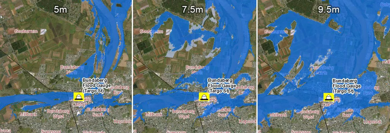
“The public want and need facts about a given flood. A simple map that says at this gauge height you can expect this inundation on your block allows the public to increase their resilience by allowing them to make informed decisions in response.”
BRC’s Dwayne Honor