


Transitioning to VertiGIS Studio from Geocortex Essentials
We are currently helping dozens of our customers make the transition through careful planning via our comprehensive Readiness Assessments which provide a clear roadmap and estimate to transition a customer’s Geocortex environment to VertiGIS Studio.
VertiGIS Studio Training
Learn from the VertiGIS Studio experts Train with us Whether you’re a beginner or a more advanced user, our training courses will provide you with
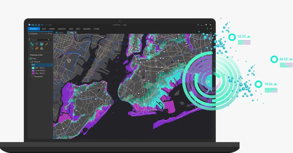
Esri ArcGIS Services
We’re one of Australia’s largest ArcGIS experienced consultancies. Contact us for expert advice on how to make the most of your GIS technology.
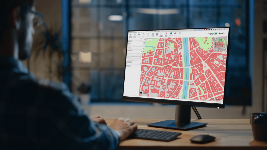
VertiGIS Studio Web Mapping
Manage your complex mapping needs with ease. AAM’s Geocortex web mapping software saves you time and effort with its simple configuration and automated workflows.

Solution Architecture & Enterprise GIS Consulting
Our team can assist you in the development of your geospatial strategy, GIS technology roadmap and accompanying work plan. We help you implement best practices to integrate geospatial information into your business processes.

Premium Support
Expert VertiGIS Studio and Esri ArcGIS support at your fingertips. Woolpert’s Premium Support service gives you on-demand access to a team of geospatial technology experts.

Cloud Managed Services
Reduce project costs and increase productivity. Woolpert’s cloud managed services lets you access all your spatial data, information and tools quickly and easily, anywhere you need.

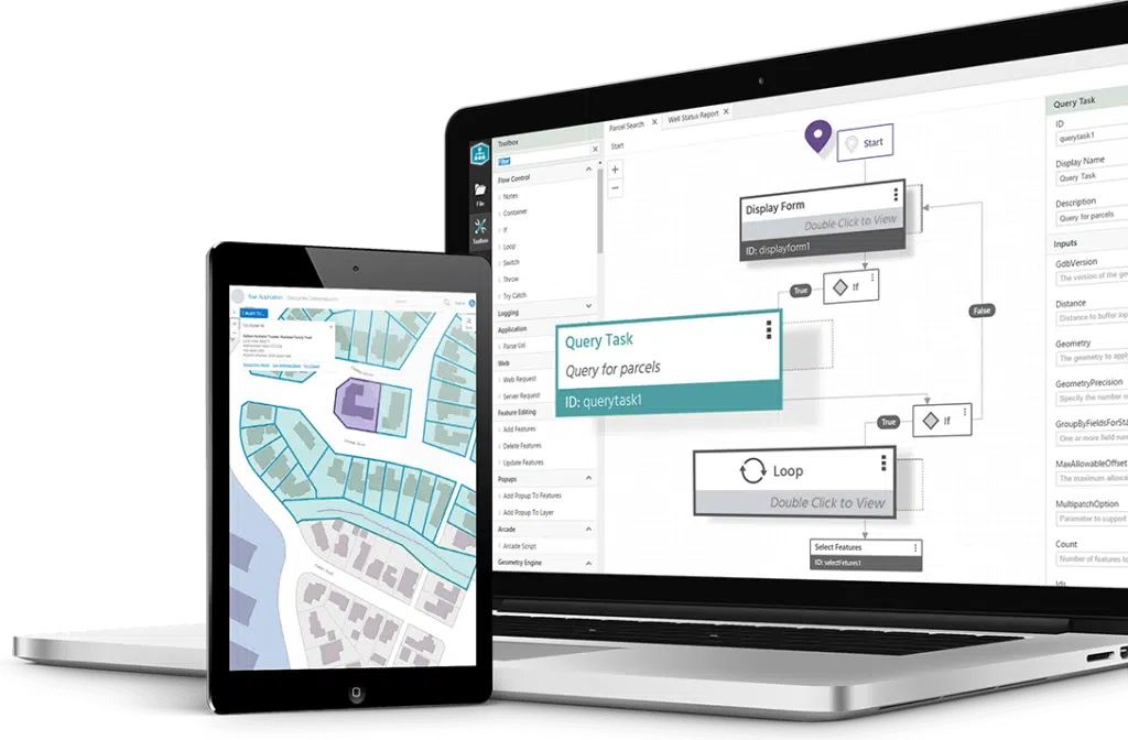
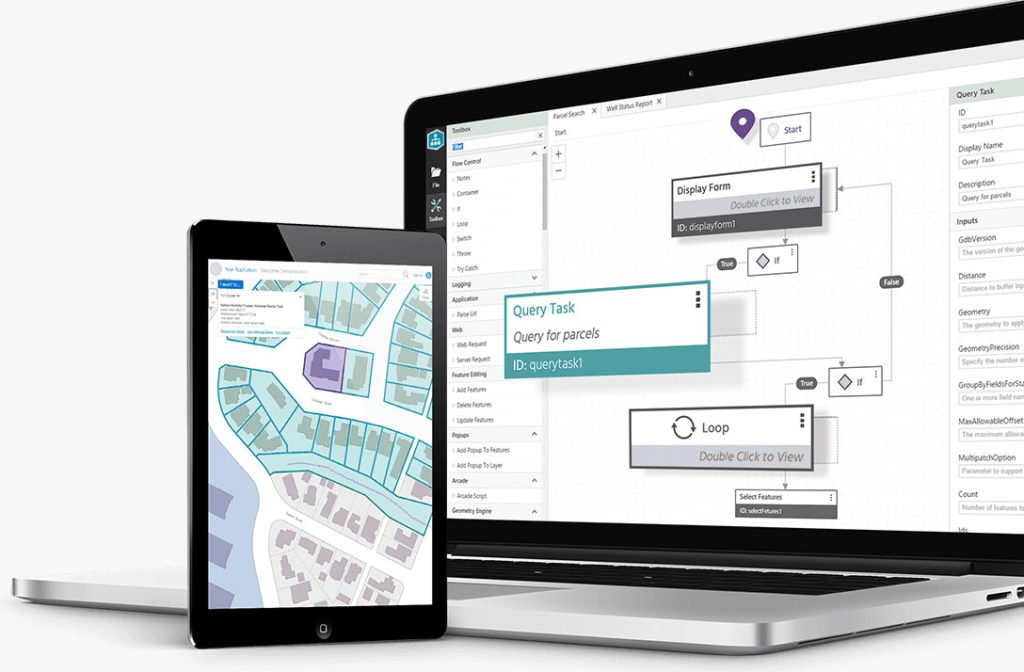
Application Development
Providing your complete geospatial app development needs. Woolpert is the most experienced developer of VertiGIS Studio applications in Australia, combined with extensive experience in Esri and open-source spatial technologies.

Singleton Council’s Upgrade from Geocortex Essentials to VertiGIS Studio
Singleton Council’s GIS team required upgrades to their Geocortex Series 4.13 system, while also progressing their Esri ArcGIS Server upgrades and launch of the associated ArcGIS portal environment.

Bundaberg Flood Gauge Mapping
Overview Following numerous QLD flood events, Bundaberg Regional Council (BRC) was forced to action a new Burnett River flood mapping plan. The Council delivered a
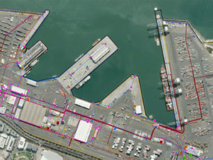
Ports of Auckland Custom GIS Solution
Enhancing maritime productivity through geospatial mapping software Ports of Auckland Limited (POAL) is owned by Auckland Council via its investment arm. The Auckland Port is

Forward Works – Rebuilding Canterbury with Web Mapping
Forward Works – Rebuilding Canterbury with Web Mapping Background Land Information New Zealand (LINZ) is the New Zealand public service department charged with geographical information

Gold Coast Water Authority GIS Management
Gold Coast Water Authority GIS Management Enhancing community engagement through interactive GIS functionality Gold Coast Waterways Authority (GCWA) is the statutory body that manages the

Brisbane City Council eBIMAP
Brisbane City Council eBIMAP Increasing map service performance to enhance customer experience Brisbane City Council is the largest local government in Australia with over 1