


Surveying a Rail Corridor for Transport New South Wales
Overview
Woolpert were commissioned to conduct a 2.7km railway corridor Mobile Laser Scanning (MLS) survey to determine its Building Information Model (BIM) suitability. This required accurately defining assets and utilities with dense point cloud information for feature survey and 3D modelling production.
.
Situation
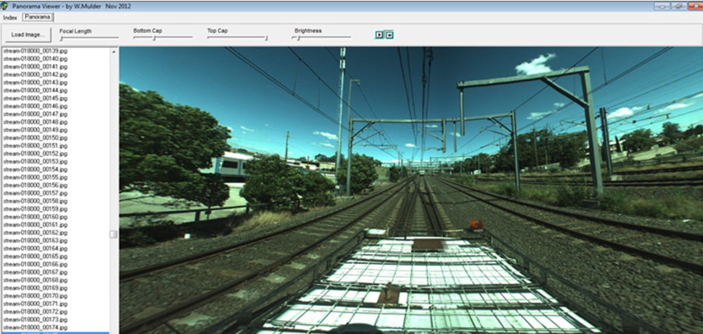
The survey had to be completed with minimal disruptions, requiring imagery for visualisation without physically visiting the site making a night capture impossible. The project output for Transport New South Wales involved the integration existing conditions with proposed models. Clearance information across the entire corridor was also required for clash detection purposes.
.
Action
Woolpert fitted an MLS unit to a hi-rail vehicle minimising downtime and maximising safety, reducing acquisition time to just hours. The MLS point cloud defined specific elements vectorized directly from the point cloud as 3D Models and 3D Feature survey data.
Result
Our MLS survey defined every feature’s location and appearance. Comparing the MLS point cloud to the field test points confirmed accuracies of 9mm horizontal and 6mm vertical.
High-resolution spherical imagery was captured and delivered, involving a mixture of 3D models, 3D points, stringlines and a fully-colourised point cloud. We also minimised crew time and impact on rail services with zero safety incidents. The resultant MLS data supported the immediate BIM creation requirements.
To find out more – email asiapacific@woolpert.com