Transport and logistics
Location intelligence to keep people and supply chains moving
Mapping transport networks is just the start of monitoring, maintaining and optimising the road, rail, air and marine transport infrastructure and assets that move people and goods.
As global mapping shifts to digitisation, our expert survey teams support data-driven decisions that boost safety, allow real time monitoring, and prioritise proactive asset management.
Why choose AAM for transport and logistics
Our resources are positioned for flexible data capture, rapid processing and on-time delivery.
People-first safety
360° site visualisations perfect for safety inductions and site training
Award winning data
5x winners of the Asia-Pacific Spatial Excellence Awards
Smarter monitoring
Manage and maintain assets and infrastructure with big picture intelligence
.
A HISTORY OF INNOVATION
“Our clients come to us with a problem and we have a whole toolkit of solutions that we adapt to fit the problem. If the solution doesn’t exist, we build it.”
Rohan Potter - AAM
How transport and logistics use geospatial services
- Assess and monitor state infrastructure like transport networks
- Long-distance freight route mapping across land, air, rail and shipping
- Real time monitoring of load, fuel consumption, and traffic conditions
- Freight monitoring
- Identify and tag assets like roads, bridges and tunnels
- Logistic infrastructure and asset models e.g. fuel stations and storage facilities
- Public transport network planning, consultation and mapping
- Site selection and due diligence
- Digital surface models to assess flood risk and cut and fill calculations
.
3 steps from data capture to actionable insights
The technology might be advanced, but we move from capture to better decision making in 3 simple steps.
Capture the data
Analyse the data
Visualise the data
.
What to look for in mapping and modelling services
- Customisable end-to-end spatial intelligence solution
- Data formats to suit your systems
- Established field safety track record
- Access asset and vegetation data in the office and the field
- Geo-referenced asset imagery and location data
- Integration with work order systems
- AI powered data analysis
- Safety Management System registered with Avetta
- Contract Flight Safety BARS Gold Status Aviation Resources
- Compliance monitoring across regulators and jurisdictions
- COVID-safe practices
- Public indemnity and liability insurance
- Accreditation for Australian operations - ISO 9001 Quality and ISO 27001 Information Security for a portion of hosted services SaaS
AAM projects in the transport and logistics sector
Spatial intelligence supports transport and logistics providers to effectively manage resources and optimise operations.

Tools we use
An advanced toolkit to establish, monitor, and measure sustainable transport and logistics initiatives.
- Aerial survey and LiDAR
- 3D Modelling & BIM
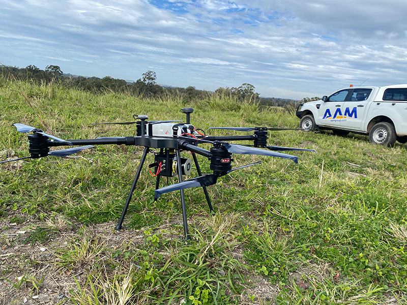
- UAV Survey
SOLID FOUNDATIONS, ADVANCED SOLUTIONS
“We have the skills to build these solutions from the ground up with what we've learned and achieved over the last 60+ years.”
Chris Horner - AAM
.
.
"Thank you for the extraordinary effort in bringing the rail project across the line on time. Your team and dedication to the project has been recognised across our organisation and we would like to keep strengthening our business relationship with AAM in future projects".
Civil Engineer
Australian Engineering & Construction company


