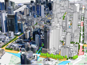
Mapping the Urban Landscape
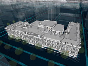
Investing in a 3D digital twin of your environment allows you to plan, build, deliver, and assess the impact of your project before your team sets foot on the ground.
Solutions we provide for our customers.
Industries we specialise working with.
Woolpert provides advanced digital solutions that underpin some of the biggest projects in the Asia-Pacific and beyond. We offer the full spectrum of geospatial expertise including land surveying, aerial mapping and the integration and implementation of Geographic Information Systems (GIS). Read more about the solutions we provide for clients below.

Investing in a 3D digital twin of your environment allows you to plan, build, deliver, and assess the impact of your project before your team sets foot on the ground.

Smart City Solutions guide change, manage risk, and deliver sustainable outcomes with high resolution 3D modelling.
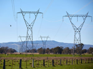
When you need to map a large distributed network of assets fast, so you can plan and manage more efficiently and effectively.
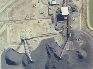
When you need to accurately assess and analyse your site to maximise its value or ensure you meet stringent compliance issues.
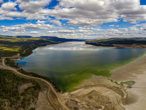
Expert environmental analysis reduces risk and maximises ROI with data-driven decision making at every stage.
Know the lay of the land with less time in the field. Wherever you are in your project, the benefits of digitised assets are numerous and wide-ranging.
Read the latest Geospatial news, insights and updates from the AAM Team.
If you are an existing client requiring support for your VertiGIS Studio, GIS or application development solutions – please submit a query below: