


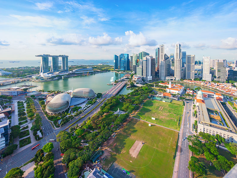
Mapping the Urban Landscape
Investing in a 3D digital twin of your environment allows you to plan, build, deliver, and assess the impact of your project before your team sets foot on the ground.
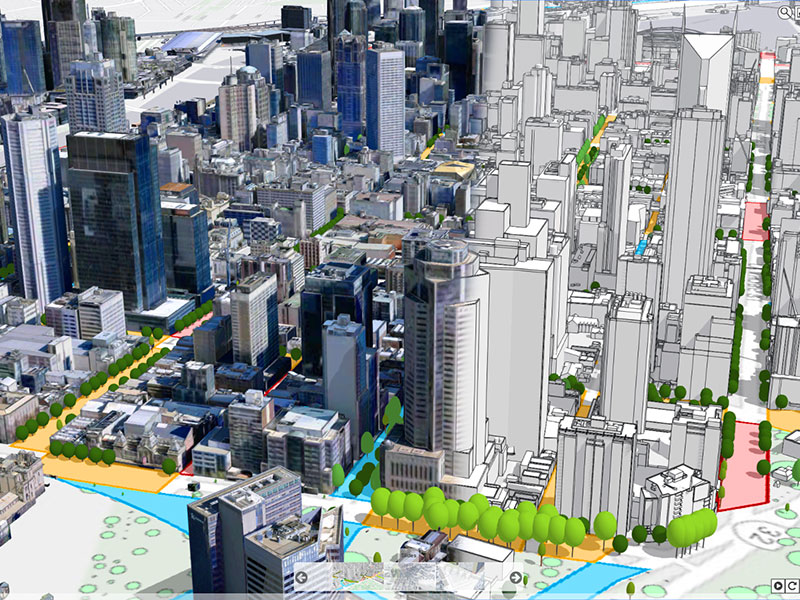
Smart City Solutions
Smart City Solutions guide change, manage risk, and deliver sustainable outcomes with high resolution 3D modelling.
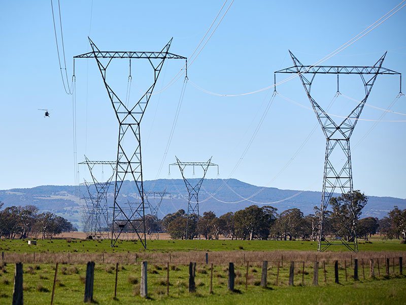
Network Mapping and Analysis
When you need to map a large distributed network of assets fast, so you can plan and manage more efficiently and effectively.


