


Environmental Analysis
Choose the right site with visibility that’s more than a map
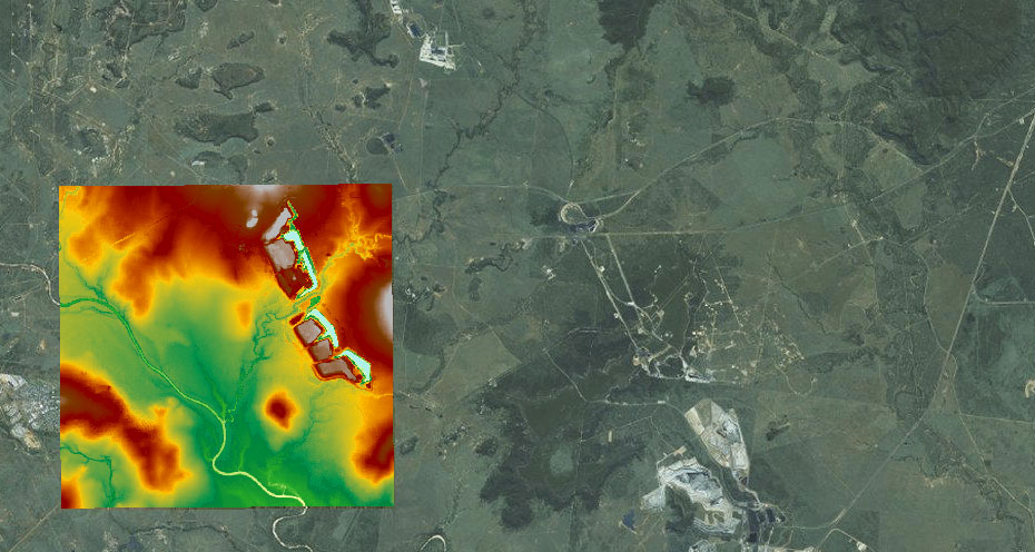
Accurate digital mapping helps maximise opportunities and minimise risk whether you’re assessing options, ready to plan, or monitoring change. Choose the right location for your project, track volumes and capacity of sites and waterways, and use data to set priorities, identify trends, and manage change.
.
UNLIMITED POTENTIAL IN COUNTLESS INDUSTRIES
“Environmental mapping and analysis isn’t just for wind farms, gas fields, and construction — it’s useful in forestry, agriculture, civil planning and countless other industries.”
David Brierley - AAM
Make smarter decisions with data
With offices in Melbourne, Sydney, Wollongong, Brisbane and Perth, our survey and analysis teams provide quality, accurate data to support your business goals.
From straightforward aerial surveys to detailed bathymetric mapping of shallow water environments, we deliver customised, cost-effective imagery and data to support your project.
How we analyse your environment
STEP 1
Plan
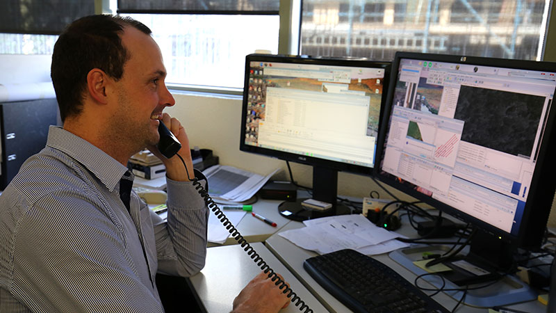
Our team of expert consultants and project managers work with you to understand your challenge, then work out an optimal solution.
STEP 2
Capture
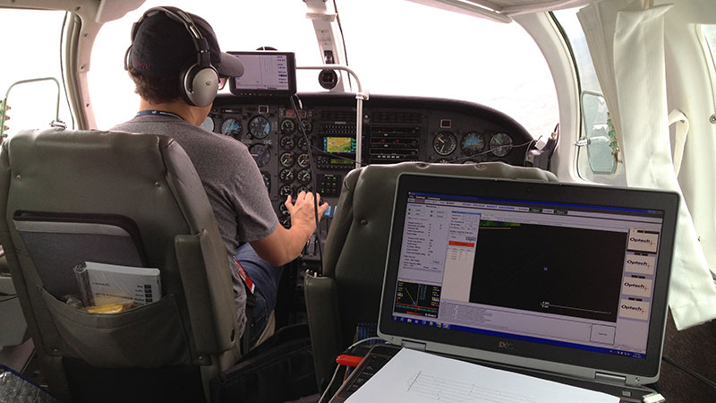
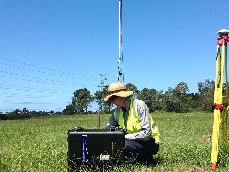
We capture the required spatial data with the right survey method. We offer aerial survey (manned and unmanned aircraft), ground survey, terrestrial and mobile laser scanning.

STEP 3
Data Process & Delivery
Your data is processed and checked. We present and deliver your data in the format you require. If necessary, we help you to analyse your data so it can inform your decisions.
Why invest in accurate environmental analysis
- Informed design and decision-making with digitised, geospatially accurate terrain and waterway mapping
- Create more than a map with an analysis of spatial datasets across locations or sites for deep insight
- Get the information you need, when you need it, with monitoring through project lifecycle
- Predict, avoid or mitigate risk when you understand patterns and relationships
- Shared understanding of complex environmental issues through detailed imaging
.
.
Why choose AAM to map and analyse your environment
- Precision laser scanning, thermal surveys, and UAV inspections
- LiDAR and Bathymetric LiDAR with shallow water capability
- Detailed aerial imagery and photogrammetry
- Choose your software format and Level of Detail (LOD)
- Accredited surveyors, UAV pilots and engineers
Work with trained professionals certified for your industry needs
Our survey professionals and aerial pilots are licensed, registered, and safety-certified to deliver services when and where you need them.
ISO 9001 accredited Australian operations for effective quality management system
Licensed remote pilots for drone-assisted mapping and modelling
Registered and licensed surveyors for regulated projects
How we’ve done it before
It takes more than technology to generate accurate imagery and quality data.
Our experience across industries, projects, and environments sets us apart.
The tools we use
Fifty years on from our first aerial surveys, our technology includes a full suite of high resolution imaging devices, and manned and unmanned aerial and water craft.
-
LiDAR – aerial and bathymetric
(including shallow water autonomous vehicle) - Aerial imagery and Photogrammetry
- Thermal and UV Imaging
REAL DATA TO INFORM REAL ACTION
“Deforestation, sea level rises, erosion of land — climate change can be measured and mapped with real data to inform real action.”
David Brierley - AAM
.