


Cadastral Consulting
Understanding property boundary surveys and their associated rights
.
Know for certain the location of title boundaries
Understand the associated easements, encumbrances and restrictions
Cadastral surveying for land developers and major projects
Woolpert cadastral consultants are experts in land boundaries and can help maximise your property development. Our experience can help you navigate council planning requirements, fast track your sub-division approvals and assist with the registration of titles. Our professional and timely advice can assist with your:
Subdivision
You want your building or strata subdivision to be as efficient and timely as possible, so you need help with council planning and the title registration process.
Major project
Re-establishing accurate title boundaries for your major project gives you confidence your building or structure will be positioned correctly. By laying out the title boundaries and grids, design flaws of the building or structure may become apparent, saving you a costly error.
Design
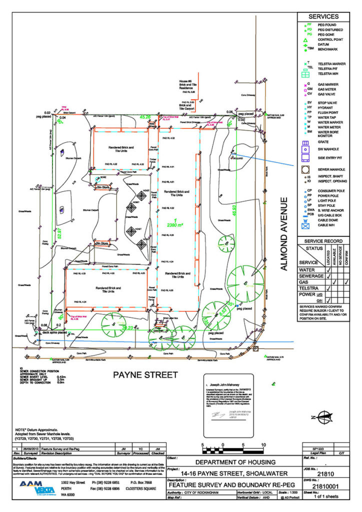
Title and feature surveys for architectural or engineering design shows the relationship of the boundaries and easements in relation to the physical and built environment of the land. This plan may show the problems in how the land may be developed in the future.
Complex Land Titles
Land titling issues such as adverse possession or amendment to title can be complex in nature. Receive advice and be guided through the process to amend the title/claim or consolidates the titles etc.
Need more information on Woolpert’s cadastral consulting?
Sound advice early saves you costly errors later
Maintaining and protecting the integrity of the cadastre is at the heart of every licensed surveyor. Given its importance to the economic development of the property market, accurate data capture and delivery is the key to its future success.
When it comes to title surveying, Woolpert has been leaders in the industry for over 50 years, working on very large and very complex projects.
And while every project is tailored to suit your needs, the process is the same:
- Discuss the project requirements to make sure we can undertake the work
- Detailed scope and project plan so there’s no surprises
- Qualified surveyors head to site with the latest equipment
- Experienced technicians utilise their in-field knowledge for the most accurate data collection
- The data is processed by our in-house team to meet our QA standards
- Your deliverables are prepared in your required formats to meet the needs of key stakeholders, including PDF, AutoCAD and 3D scans/virtual tours.