


Transform mapping data into actionable insights
You don’t need just data. Without a proper understanding of how to leverage the airborne imagery data you already have, you risk slow decision-making and your data becoming ineffective or worse, obsolete.
You need clear insights to act on the vast amount of aerial mapping and airborne imagery data you collect.
At Woolpert, our airborne imagery survey service isn’t just about handing over data. We show you what you can do with the information you’ve got. Our main aim is to help you make quick, informed choices based on true facts, not just guesses.
You can rely on our skill to provide aerial mapping and airborne imagery insights. We assist you in connecting different data sets, pinpointing the best solutions, and making swift decisions.
Why Woolpert?
60+ years surveying experience
Work with an expert team that keeps up with aviation standards and knows how to capture and analyse aerial survey data with precision.
Bespoke data you can rely on
Receive fit-to-purpose aerial imagery data and detailed, actionable insights, customised to your specific needs.
Keep your projects moving
Senior GIS Analyst, Spatial Services
Local government
John Gibson
Senior GIS Analyst, Greater Wellington Te Pane Matua Taiao
Choose Australia’s most experienced and tech-capable aerial imagery surveying team
Capturing and delivering aerial imagery is a complex undertaking that requires a high level of expertise from a range of professionals.
When you work with Woolpert for your airborne imagery survey needs, you’re working with a team that combines 60 years of experience with an unmatched capability to carry out large, complex aerial mapping jobs with precision.
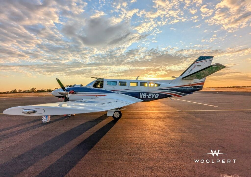
With a fleet of 10 aerial survey aircraft, equipped with a range of digital aerial cameras and airborne LiDAR systems, our airborne operations team can tackle any aerial survey project you send our way, in any location. We deliver fit-for-purpose solutions for your enterprise GIS or engineering requirements.
Get the most out of your next aerial mapping project when you work with Woolpert.
Our airborne imagery survey projects in action

Singapore Smart City
In 2014 the Prime Minister’s Office of Singapore unveiled Virtual Singapore1, a dynamic three-dimensional (3D) city model and collaborative data platform, including the 3D maps

Aerial Survey of Gold Coast Stadium
Overview We were commissioned as the survey consultant for the Gold Coast Stadiums construction project, requiring specialised surveying experience from dilapidation reporting to aerial and

Bundaberg Emergency Flood Response
Overview Australia experiences natural disasters every year with Bundaberg, Queensland enduring an extreme weather event that delivered unprecedented flooding across the region. Reliable spatial data


GIS & BIM Manager
Aviation
Senior Urban Designer
Local government
National Sector Lead
Architect firm
Civil Engineer
Civil engineering & construction company
Senior GIS Analyst, Spatial Services
Local government
John Gibson
Senior GIS Analyst, Greater Wellington Te Pane Matua Taiao
Find the best solution with our results-first approach to aerial mapping
Remember, when it comes to airborne imagery surveying – data alone is not the solution you seek.
At Woolpert, our aerial survey experts take a holistic approach to every project. We work with you to truly understand your desired project outcome and put your data to work for you.
This big picture approach allows us to deliver aerial mapping data insights that will help you connect the dots between different data sets to find the best solutions and enable quick decision-making.
Quick decisions lead to quick actions that ensure you stick to project timelines and also reduce your risk of budget blowouts.
Frequently asked questions about aerial imagery surveys
There are many factors that determine when we can fly to capture your imagery data which can impact cost, such as:
* Air traffic control restrictions
* Weather conditions
* Tidal flows
* Angle of the sun
* Availability of the right aircraft and the right sensor for the job
Other factors that affect the cost of your airborne imagery survey include:
* Size of the survey area
* Distance of the survey area from air base
* Terrain conditions
* Level of accuracy required (which in turn is influenced by how you intend to use your LiDAR data)
* LiDAR processing considerations: larger and/or more complex data requires more time, computing power and/or human intervention to process.
Like any flight, our departure times depend on the weather.
We must also factor in our current pipeline of work and equipment availability. But if you need your data urgently, we have different options to meet your need. Talk to us about your project and we’ll work out a solution.
With our efficient processing system, you can get your data quickly . Most projects take a few weeks to a few months depending on how much data there is, and how many servers are needed to process the data. We can put more servers and people on the job if you need the data urgently.
With UAV LiDAR, we can get up to 2000 points per square meter of resolution. With fixed-wing LiDAR we can get about 1-50 points per square meter of resolution, with an accuracy of <10cm. But your project might not need all the data we can get. The level of resolution and accuracy needed depends on the problem you need to solve and how you plan to use your LiDAR data.
TIFF, ECW, RAW and all other standards formats.
We can translate the data to any format so if your required format is not listed here, get in touch.
When deciding on whether UAV/drone technology is needed for a project, we consider the location, the size of the area being surveyed, and the resolution required. Some projects don’t need the type of clarity achieved through UAV. Some projects benefit with fixed-wing AND drone captured imagery. What we recommend, depends on the problem and the result you need.
Yes! Geocirrus is our catalogue of premium geospatial data. In addition to aerial imagery we have LiDAR data, 3D models and mesh.
We supply the data under AAM’s license or to our clients’ IP.
Once our clients have received and accepted our priced proposal for their project, we initiate a formal project handover. A dedicated project manager talks to our client to clarify that both sides understand the aim and scope of the project. We schedule the appropriate aircraft and sensor to start gathering data, whilst sending regular updates to our clients as each major milestone is reached. Once all the data is captured we send it to our processing team. We process and translate the data into our client’s preferred format, then deliver it via a cloud-based platform or hard disk drive.
Get more out of your airborne imagery survey
Schedule a call with us to see how we can deliver more on your next aerial mapping project.
Tags: aerial mapping, aerial lidar, airborne lidar survey, drone aerial imagery, aerial survey companies, lidar mapping services, high resolution aerial imagery, oblique aerial imagery, 3d aerial mapping, lidar aerial mapping, aerial imagery resolution, orthophoto drone, aerial topography, geospatial aerial imagery, aerial mapping drone, lidar survey data, airborne laser scanning, aerial mapping software, lidar image, aerial laser scanning, drone terrain mapping, aerial mapping camera, uav aerial mapping, lidar scan data, aerial lidar scanning, aerial lidar systems, aerial imagery providers, up-to-date aerial maps, aerial imagery analysis, drone lidar mapping.