


Rockhampton Peak Flood Event 2013
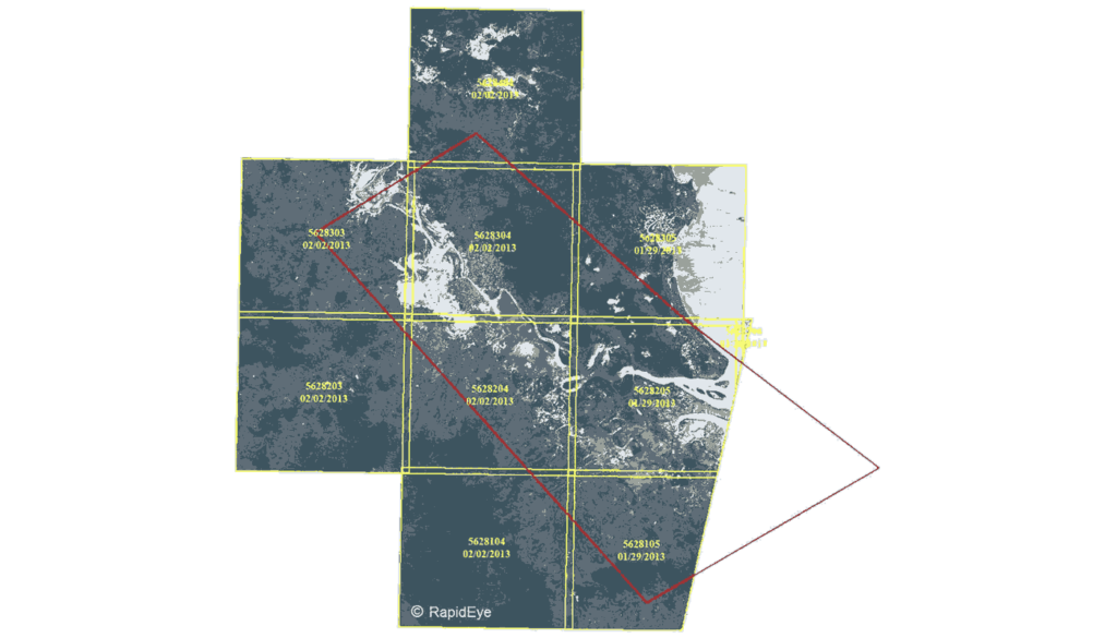
The RapidEye constellation of satellites imaged Rockhampton and surrounds on Friday 2 February around 11am. The flood event was so large that it is evident on a low resolution archive sample from February 2. Within the next day, a sample of the full resolution imagery will be received by AAM. Having a constellation of five […]