


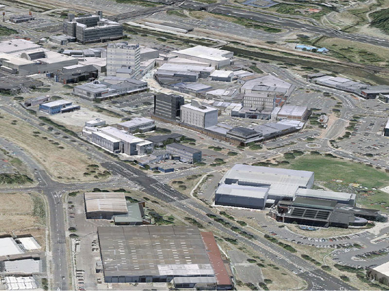
Sunshine Coast Airport Terminal Expansion Survey

Sunshine Coast Airport, represented by Rede Project Consulting, commissioned Woolpert to provide a Feature and Level Survey, 3D Laser Scan and Building Information Model (BIM) of SCA.
3D City Modelling of Johannesburg
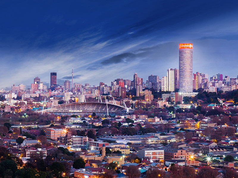
Woolpert was commissioned to undertake Aerial LiDAR, A3 Digital Orthophoto Imagery, Oblique Imagery, Rendered 3D Building Models and Building Footprints for the City of Johannesburg (CoJ) metropolitan area measuring 2,950 square kilometres.
Singapore Smart City

In 2014 the Prime Minister’s Office of Singapore unveiled Virtual Singapore1, a dynamic three-dimensional (3D) city model and collaborative data platform, including the 3D maps of Singapore. When completed, Virtual Singapore will be the authoritative 3D digital platform intended for use by the public, private, people and research sectors. It will enable users from different […]
Terrestrial Laser Scanning for the University of Melbourne

The University of Melbourne undertook redevelopment work to its site. In particular, the Old Commerce Building was demolished. Due to its façade being of significant heritage value, it needed to be retained whilst the remainder of the building was demolished. It was imperative that the construction works did not cause any movement and potential damage to the façade during the demolition of the building and the erection of a façade retention structure.
227 Toorak Rd Building Subdivision
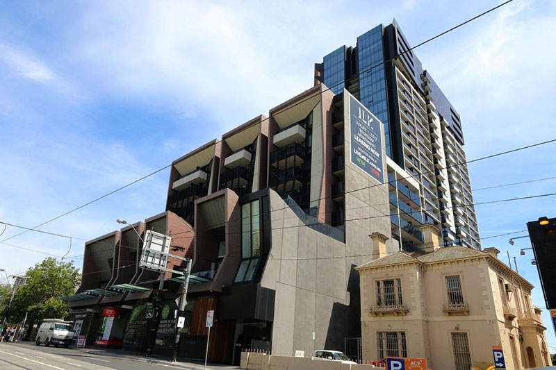
Overview The 227 Toorak Road development at South Yarra consists of 388 apartments, 6 retail spaces and 3 levels of parking. It’s also arguably one of Toorak Road’s most iconic buildings complimenting the locally-appreciated Chapel Street Precinct. AAM provided Land Survey services over the project’s duration. Situation The developer (Little Projects) required a Land Survey […]
Porirua City Council 3D City Models
Dynamic city planning through advanced GIS capability Porirua is located on New Zealand’s North Island, one of four cities that constitute the Wellington metropolitan area. Porirua City Council (PCC) comprises a community of 52,000 people. PCC’s plan for 2015-25 will see the Council make a significant investment in new infrastructure and city centre development. AAM […]
Melbourne City Baths
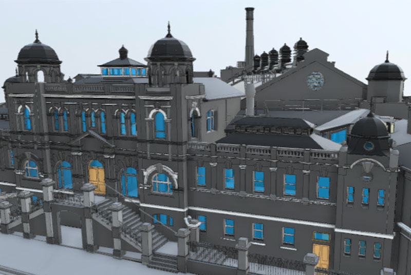
Laser Scanning to BIM: Melbourne City Baths Background The iconic Melbourne City Baths, which first opened in 1860, provides health and fitness facilities and maintains the largest swimming pool in the Melbourne CBD. Although it is a beautiful building, it is showing its age. In response to the need to pro-actively manage the site, the […]