


Singleton Council’s Upgrade from Geocortex Essentials to VertiGIS Studio
Singleton Council’s GIS team required upgrades to their Geocortex Series 4.13 system, while also progressing their Esri ArcGIS Server upgrades and launch of the associated ArcGIS portal environment.
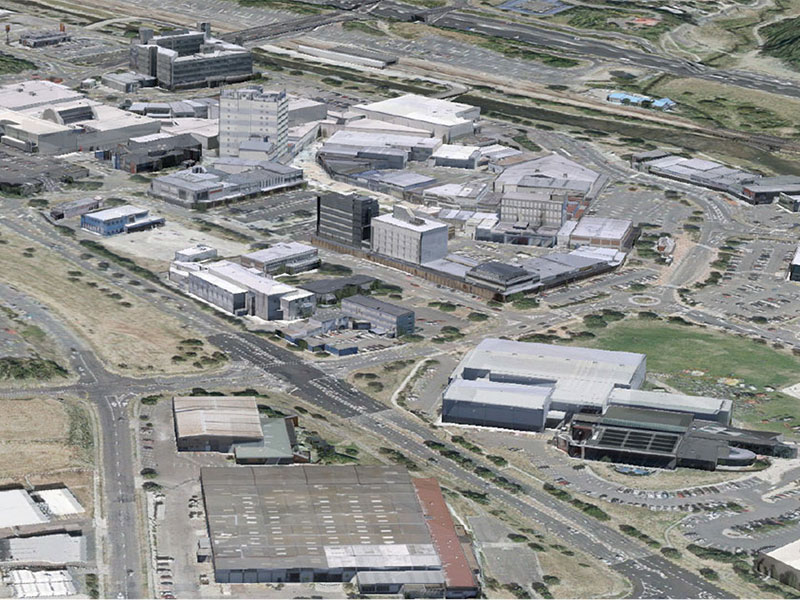
Sunshine Coast Airport Terminal Expansion Survey

Sunshine Coast Airport, represented by Rede Project Consulting, commissioned Woolpert to provide a Feature and Level Survey, 3D Laser Scan and Building Information Model (BIM) of SCA.
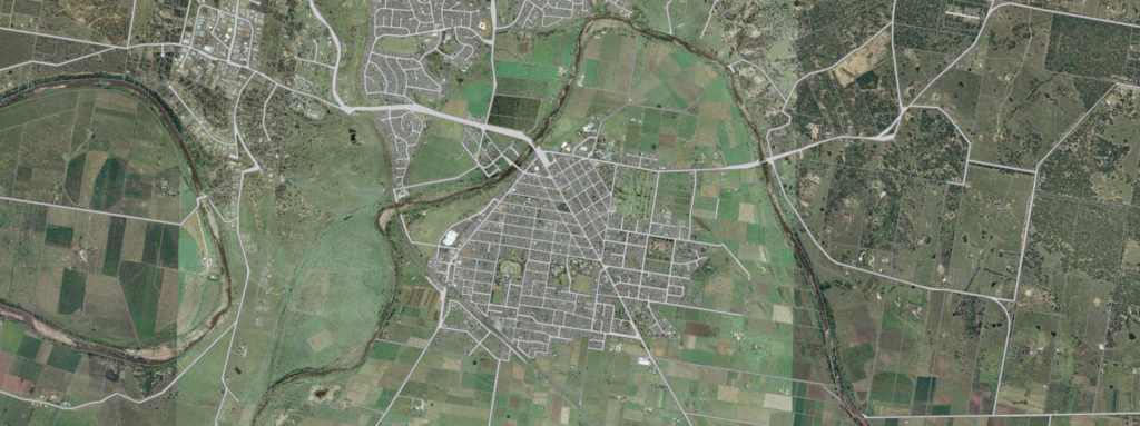
Bundaberg Flood Gauge Mapping

Overview Following numerous QLD flood events, Bundaberg Regional Council (BRC) was forced to action a new Burnett River flood mapping plan. The Council delivered a publicly available flood mapping tool ensuring Queensland communities can more easily understand flood events and make better informed decisions. Overview Following numerous Queensland flood events, Bundaberg Regional Council (BRC) was […]
Porirua City Council 3D City Models
Dynamic city planning through advanced GIS capability Porirua is located on New Zealand’s North Island, one of four cities that constitute the Wellington metropolitan area. Porirua City Council (PCC) comprises a community of 52,000 people. PCC’s plan for 2015-25 will see the Council make a significant investment in new infrastructure and city centre development. AAM […]
Brisbane City Council eBIMAP
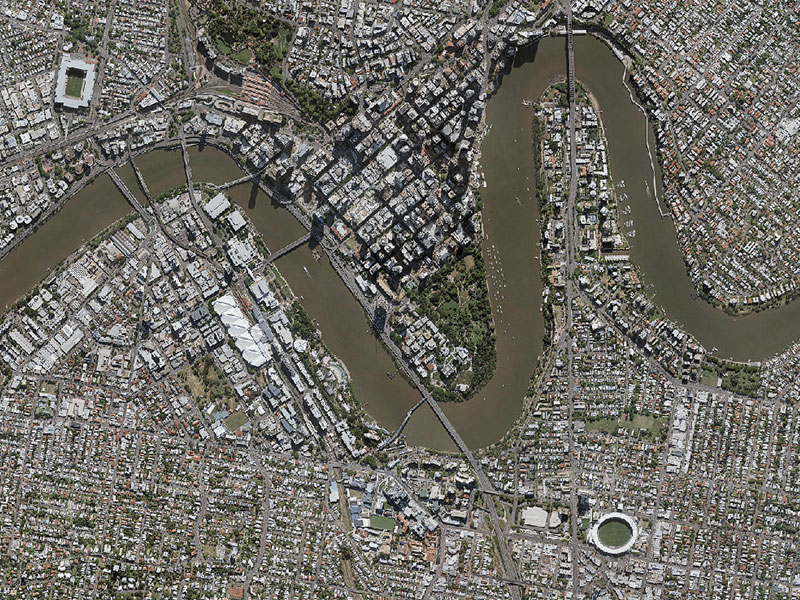
Brisbane City Council eBIMAP Increasing map service performance to enhance customer experience Brisbane City Council is the largest local government in Australia with over 1 million residents. The Council is committed to responsibly managing the city. It strives to set and maintain the highest service standards to ensure real value is delivered for Brisbane’s ratepayers […]
VertiGIS Studio Web Mapping for Urban Heat Map Viewer
Background As our climate changes, heatwaves are getting hotter, longer and more frequent. Urban areas already suffering from the heat island effect will bear the brunt of these harsher heat events. Urban heat islands are areas of the urban environment that are significantly warmer than the surrounding landscape. In particular, areas with a larger thermal […]