


Cross Hybrid Survey Solution for Mining
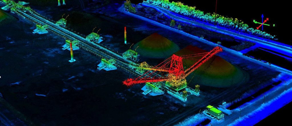
Woolpert are commissioned to complete recurring survey work for a mining company based in South East Queensland.
Mengapur Mine Survey
Mine site development requires various layers of spatial data and balancing an everchanging cost versus accuracy equation. Many companies utilise existing or satellite data as a low-cost layer option moving to more accurate options as alternatives are refined. While opting for a low-cost execution is tempting, the consequences of basing decisions on flawed spatial data […]
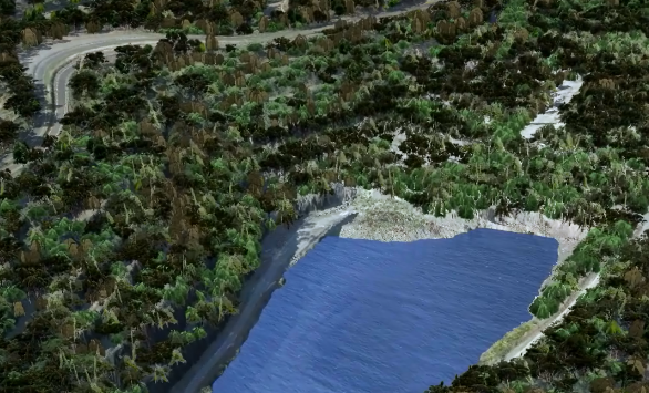
LiDAR for Chirano Mine
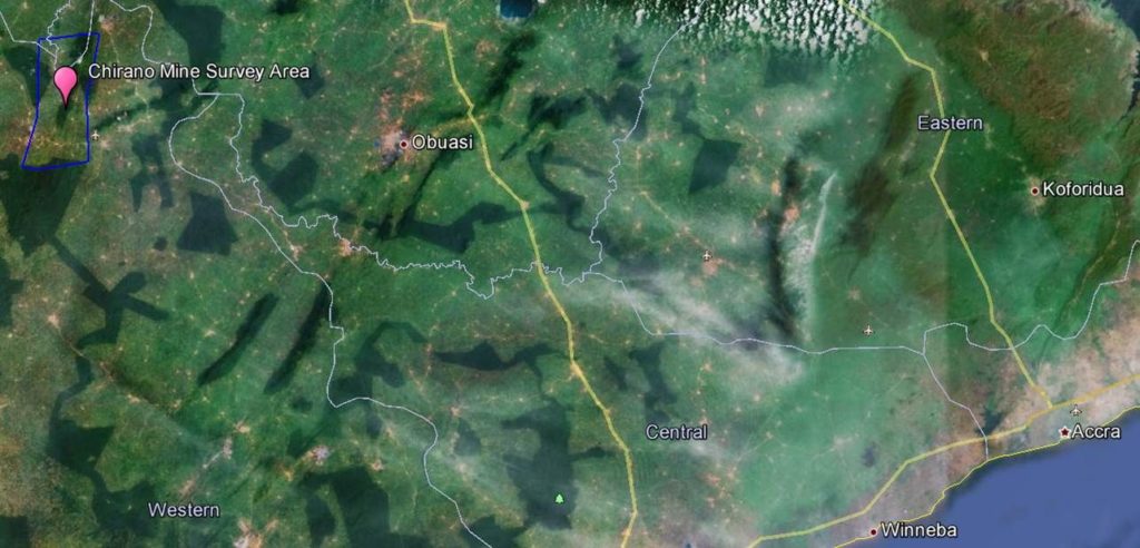
LiDAR for Chirano Mine Overview This project involved aerial Lidar and ground surveying activity covering 430 square kilometres Ghana’s Western Region within three months. . Situation Open pit and underground ore are processed at The Chirano plant processes ore with an annual 3.5 million tonnes capacity. This involves crushing, ball mill grinding, leaching, and CIL. […]
Ultra High Density LiDAR for Gas Fields

Ultra High Density LiDAR for Gas Fields Overview This multinational resources company develops and operates natural gas (coal seam) reserves across Australia. Business operations involve managing natural gas leases and the extraction, liquefaction and transport of this resource. The company is also responsible for environmental monitoring and rehabilitation of land affected by their operations. AAM’s […]