


Lachlan River Bathymetric Survey
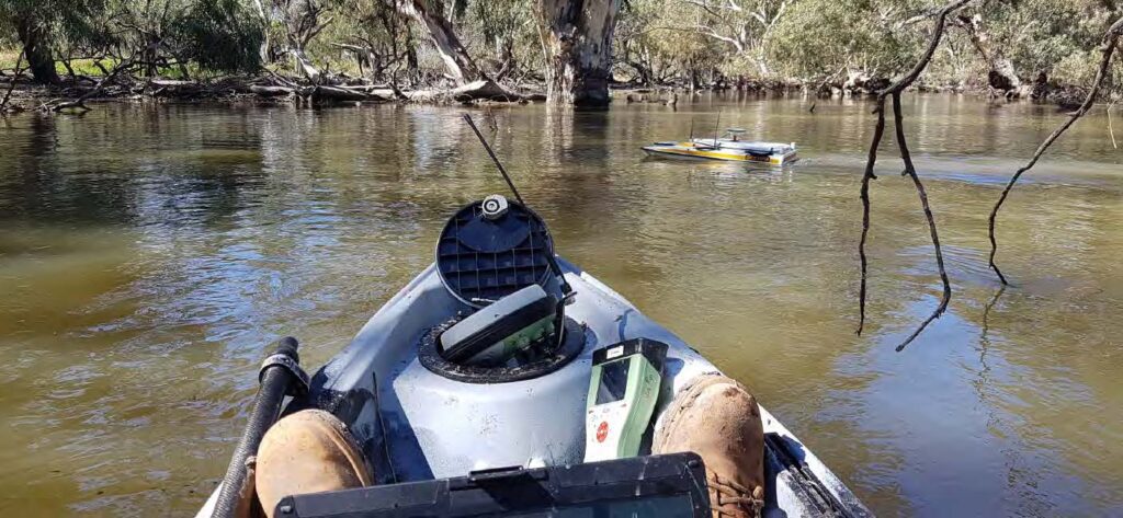
The Department of Planning and Environment (DPE) engaged Woolpert to conduct a bathymetric survey of portions of the bed of the Lachlan River and adjacent creeks.
Bathymetric LiDAR for Waterway Management
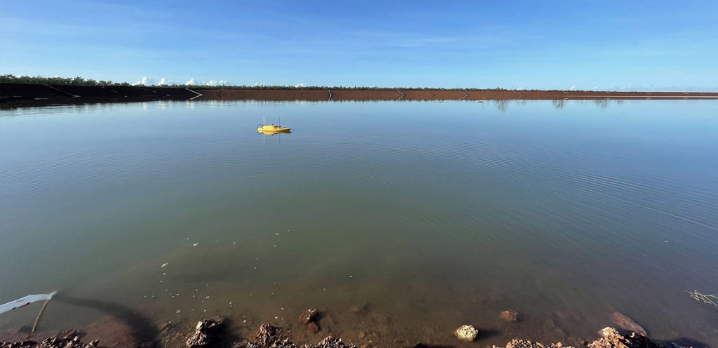
Bathymetric LiDAR for Waterway Management Woolpert were commissioned to survey for a project that involved 645 km2 over a coastal and waterways network in Eastern Australia. The site had a shallow drafted estuary, where bathymetric information was needed to maintain the usability and safety of the waterways. The area was subject to dynamic coastal processes. […]
APSEA Award – Bathymetric LiDAR for Pacific Islands
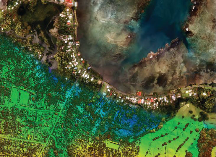
Woolpert received the highly coveted J.K. Barrie Award and the People and Community Award at the Asia-Pacific Spatial Excellence Awards.
UAV Surveying Over Waste Depot Site
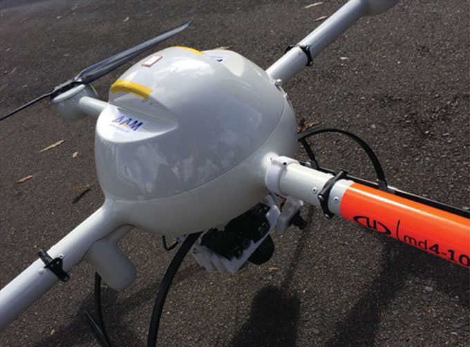
Woolpert was commissioned by Kimbriki Environmental Enterprises (KEE) to provide a Digital Terrain Model (DTM) and aerial survey to a cell surface on their Waste Disposal Depot. This helped calculate volume changes of specific site areas.
Volumetric Survey of Tarong PowerStation Ash Storage Facility

Volumetric Survey of Tarong PowerStation Ash Storage Facility Overview Understanding and managing risk is crucial within the power generation and mineral extraction industries. Risk mitigation underpins safe practice forming a key part planning for production, operations, waste management and rehabilitation. Stringent legislation also requires high standards to be enforced by the industry. Situation Stanwell Corporation […]