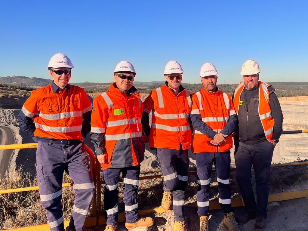
Leading Australian drone manufacturer and solutions provider Carbonix is collaborating with global aerial survey specialist Woolpert to assist with the rehabilitation of one of New South Wales’ oldest open cut coal mines, using cutting-edge drone and geospatial data capture technology to help in this transition.
This is an excerpt from Directions Mag article (10 October 2023).

Situated in the Upper Hunter Region, rehabilitation areas will be surveyed and modelled to identify hotspots, which could inhibit the land’s ability to regenerate and rehabilitate. The aerial data collected will be instrumental in establishing a balanced mix of grasslands capable of supporting sustainable grazing and native vegetation corridors to enhance habitat connectivity. This balance will ensure the land’s potential for productive and eco-friendly use.
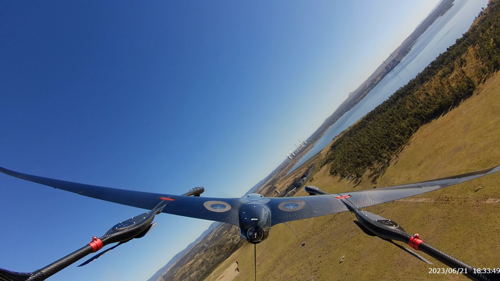
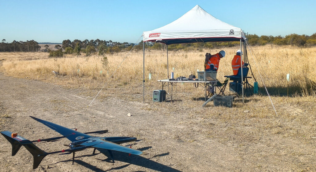
Woolpert selected Carbonix’s Volanti drone as an agile flight platform to enable data capture for hotspot monitoring. The Volanti presents a safer and significantly more cost-effective tool for areas too tight for conventional crewed aircraft, like helicopters, and too vast for multi-rotor drones. Volanti’s two-plus-hour flight time and ability to fly “low and slow” with sophisticated payloads enable the aircraft to obtain a detailed view of the area.
Carbonix CEO Philip van der Burg said the project with Woolpert is a great example of two companies collaborating to provide an innovative, cost-effective, and positive environmental survey solution through the use of long-range drones.
This is a really exciting project because we get to witness the environmental benefits of long-range drone use, twofold: Firstly, eliminating the carbon emissions and noise of traditional aircraft and secondly providing key insights to accelerate the rehabilitation of a mine. Beyond hotspots, there is scope to expand the project to include multispectral imagery of vegetation and scanning to determine the health of the soil - something we have already done with a number of agriculture clients in Australia and the US.”
Following the aerial capture, Woolpert will process and analyse the data. Its team of spatial analysts and modellers will extract detailed features from the image data to provide actionable hotspot insights.

Woolpert Key Account Manager – Resources, Anthony Boyd said it was great to work with the team at Carbonix and to leverage the technology ideally suited for the project.
At Woolpert, we aim to deliver the best solution available for our clients, and recently we were asked to identify hotspots with a thermal camera in mine rehabilitation areas,” said Boyd. "Woolpert partnered with Carbonix to provide detailed geospatial insights for our client, focused on their specific needs and requirements from an environmental and community perspective.”
About Carbonix
Carbonix provides uncrewed aerial systems (UAS) that enable precision long-range data capture at scale. Safe and effective, our intelligent aerial data capture systems enable significant reduction in risk of injury and downtime associated with outdated, expensive and polluting aircraft surveillance methods. Carbonix UAS offer superior endurance, payload capacity and flight performance unmatched by any drone in our class. Our UAS are able to capture high-resolution data over large geographic areas and complex terrain. By exponentially increasing access to data, we improve workflows, radically reduce costs, empower critical insights and lower carbon emissions. Engineered and rigorously tested to meet the most challenging mission requirements, Carbonix UAS are equipped with advanced (multi) sensors providing efficient, accurate data to critical infrastructure industries such as mining and energy networks. Founded and headquartered in Sydney, Australia, Carbonix has a network of global partners providing our customers access to experts for operational support to ensure mission success.
Carbonix has partnered with the likes of Ausgrid to provide a platform enabling remote powerline transmission inspection and Australia’s leading university, ANU (Australian National University), on the early detection of bushfires.
About Woolpert
Woolpert is the premier architecture, engineering, geospatial (AEG), and strategic consulting firm, with a vision to become one of the best companies in the world. We innovate within and across markets to effectively serve public, private, and government clients worldwide. Woolpert is a Global Top 100 Geospatial Company, a Top 100 ENR Global Design firm, earned six straight Great Place to Work certifications, and actively nurtures a culture of growth, inclusion, diversity, and respect. Founded in 1911 in Dayton, Ohio, Woolpert has been America’s fastest-growing AEG firm since 2015. Woolpert has over 2,000 employees and more than 60 offices on five continents. For more, visit woolpert.com.
Since the 1960s, Woolpert (formerly AAM), has helped shape the Australian mining and resources sector with strong geospatial expertise and reliable results that support the complete mining lifecycle from exploration to rehabilitation.


