Bathymetric LiDAR for Waterway Management Woolpert were commissioned to survey for a project that involved 645 km2 over a coastal and waterways network in Eastern Australia. The site had a shallow drafted estuary, where bathymetric information was needed to maintain the usability and safety of the waterways. The area was subject to dynamic coastal processes. […]
Woolpert were commissioned to conduct a 2.7km railway corridor Mobile Laser Scanning (MLS) survey to determine its Building Information Model (BIM) suitability. This required accurately defining assets and utilities with dense point cloud information for feature survey and 3D modelling production.
Woolpert was commissioned to undertake Aerial LiDAR, A3 Digital Orthophoto Imagery, Oblique Imagery, Rendered 3D Building Models and Building Footprints for the City of Johannesburg (CoJ) metropolitan area measuring 2,950 square kilometres.
Volumetric Survey of Tarong PowerStation Ash Storage Facility Overview Understanding and managing risk is crucial within the power generation and mineral extraction industries. Risk mitigation underpins safe practice forming a key part planning for production, operations, waste management and rehabilitation. Stringent legislation also requires high standards to be enforced by the industry. Situation Stanwell Corporation […]
Brisbane City Council eBIMAP Increasing map service performance to enhance customer experience Brisbane City Council is the largest local government in Australia with over 1 million residents. The Council is committed to responsibly managing the city. It strives to set and maintain the highest service standards to ensure real value is delivered for Brisbane’s ratepayers […]
Background As our climate changes, heatwaves are getting hotter, longer and more frequent. Urban areas already suffering from the heat island effect will bear the brunt of these harsher heat events. Urban heat islands are areas of the urban environment that are significantly warmer than the surrounding landscape. In particular, areas with a larger thermal […]
Airborne LiDAR & asset modelling for effective powerline vegetation management Power Line Monitoring for the Energy Sector The safe operation of its 11,000 plus kilometre transmission network is the highest priority of this transmission owner and operator. With assets located in high fire danger areas, and sections of densely vegetated transmission line corridors at risk […]
Laser Scanning to BIM: Melbourne City Baths Background The iconic Melbourne City Baths, which first opened in 1860, provides health and fitness facilities and maintains the largest swimming pool in the Melbourne CBD. Although it is a beautiful building, it is showing its age. In response to the need to pro-actively manage the site, the […]
The University of Melbourne undertook redevelopment work to its site. In particular, the Old Commerce Building was demolished. Due to its façade being of significant heritage value, it needed to be retained whilst the remainder of the building was demolished. It was imperative that the construction works did not cause any movement and potential damage to the façade during the demolition of the building and the erection of a façade retention structure.
In 2014 the Prime Minister’s Office of Singapore unveiled Virtual Singapore1, a dynamic three-dimensional (3D) city model and collaborative data platform, including the 3D maps of Singapore. When completed, Virtual Singapore will be the authoritative 3D digital platform intended for use by the public, private, people and research sectors. It will enable users from different […]
Dynamic city planning through advanced GIS capability Porirua is located on New Zealand’s North Island, one of four cities that constitute the Wellington metropolitan area. Porirua City Council (PCC) comprises a community of 52,000 people. PCC’s plan for 2015-25 will see the Council make a significant investment in new infrastructure and city centre development. AAM […]
Overview Following numerous QLD flood events, Bundaberg Regional Council (BRC) was forced to action a new Burnett River flood mapping plan. The Council delivered a publicly available flood mapping tool ensuring Queensland communities can more easily understand flood events and make better informed decisions. Overview Following numerous Queensland flood events, Bundaberg Regional Council (BRC) was […]
Brisbane City Council eBIMAP Increasing map service performance to enhance customer experience Brisbane City Council is the largest local government in Australia with over 1 million residents. The Council is committed to responsibly managing the city. It strives to set and maintain the highest service standards to ensure real value is delivered for Brisbane’s ratepayers […]
Mine site development requires various layers of spatial data and balancing an everchanging cost versus accuracy equation. Many companies utilise existing or satellite data as a low-cost layer option moving to more accurate options as alternatives are refined. While opting for a low-cost execution is tempting, the consequences of basing decisions on flawed spatial data […]
Ultra High Density LiDAR for Gas Fields Overview This multinational resources company develops and operates natural gas (coal seam) reserves across Australia. Business operations involve managing natural gas leases and the extraction, liquefaction and transport of this resource. The company is also responsible for environmental monitoring and rehabilitation of land affected by their operations. AAM’s […]
Overview UGL required high-accuracy 3D models of Sydney Trains’ “Tangara fleet” railcar interiors. We initially undertook a four-carriage test study checking the components’ consistency in preparation for the fleet’s refurbishment. Situation Our 3D carriage interior models included stairwells, vestibules, end saloons and drivers’ desks to assist with their redesign. Focus areas included geometric components like […]
Woolpert have worked alongside Sydney Trains for over two decades providing Detailed Services Search (DSS) surveys of Greater Sydney’s rail network. Their purpose is to provide accurate representations of underground services for the network’s future design.
Woolpert was commissioned to undertake Aerial LiDAR, A3 Digital Orthophoto Imagery, Oblique Imagery, Rendered 3D Building Models and Building Footprints for the City of Johannesburg (CoJ) metropolitan area measuring 2,950 square kilometres.
The University of Melbourne undertook redevelopment work to its site. In particular, the Old Commerce Building was demolished. Due to its façade being of significant heritage value, it needed to be retained whilst the remainder of the building was demolished. It was imperative that the construction works did not cause any movement and potential damage to the façade during the demolition of the building and the erection of a façade retention structure.
Background PF Olsen is New Zealand’s largest independent professional forestry services company serving Australia and New Zealand. PF Olsen had a Geographic Information System (GIS) for some time but had come to a point where they needed to deliver more mapping capability to their staff, upgrade their existing GIS system and continue their Business as […]
Gold Coast Water Authority GIS Management Enhancing community engagement through interactive GIS functionality Gold Coast Waterways Authority (GCWA) is the statutory body that manages the extensive waterways of Queensland’s Gold Coast from south of the Logan River to the New South Wales border. The 10-year GCWA Management Strategy calls for greater access to waterways, alongside […]
Volumetric Survey of Tarong PowerStation Ash Storage Facility Overview Understanding and managing risk is crucial within the power generation and mineral extraction industries. Risk mitigation underpins safe practice forming a key part planning for production, operations, waste management and rehabilitation. Stringent legislation also requires high standards to be enforced by the industry. Situation Stanwell Corporation […]
Airborne LiDAR & asset modelling for effective powerline vegetation management Power Line Monitoring for the Energy Sector The safe operation of its 11,000 plus kilometre transmission network is the highest priority of this transmission owner and operator. With assets located in high fire danger areas, and sections of densely vegetated transmission line corridors at risk […]
Singleton Council’s GIS team required upgrades to their Geocortex Series 4.13 system, while also progressing their Esri ArcGIS Server upgrades and launch of the associated ArcGIS portal environment.
Sunshine Coast Airport, represented by Rede Project Consulting, commissioned Woolpert to provide a Feature and Level Survey, 3D Laser Scan and Building Information Model (BIM) of SCA.
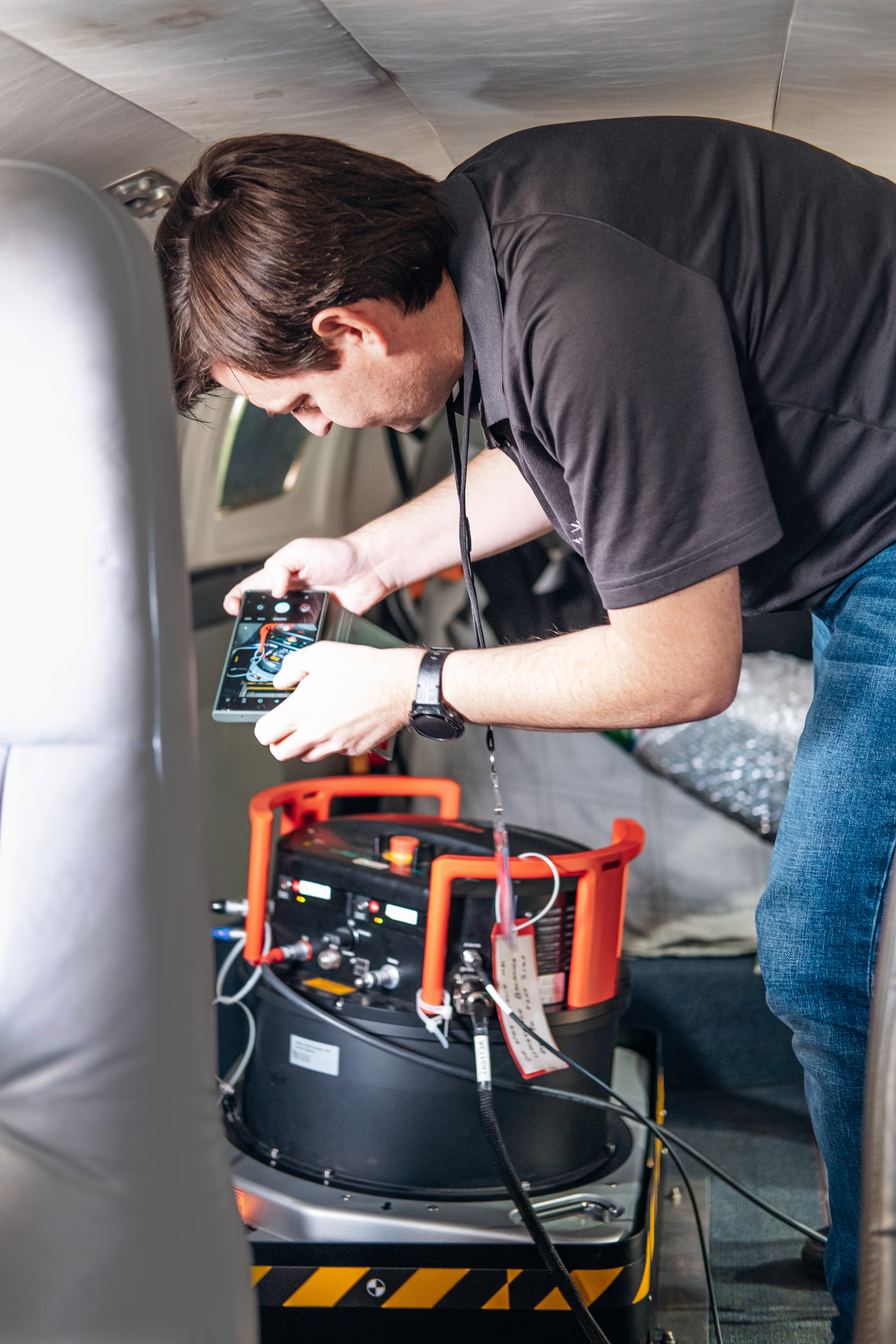
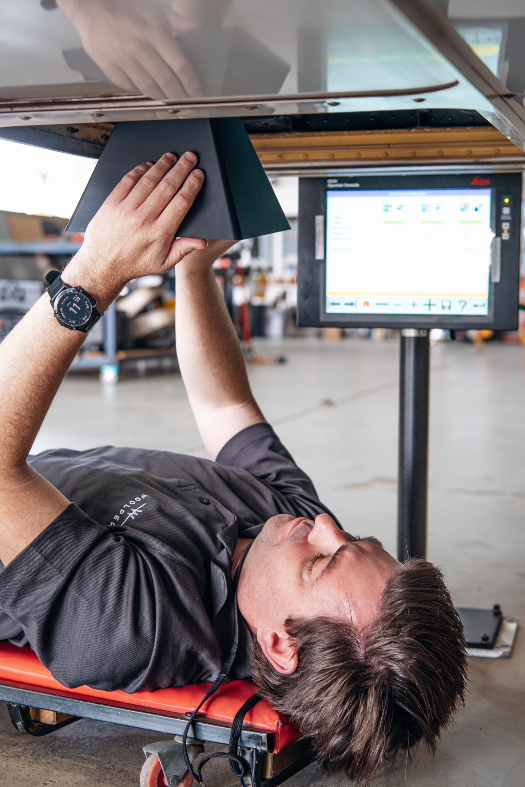
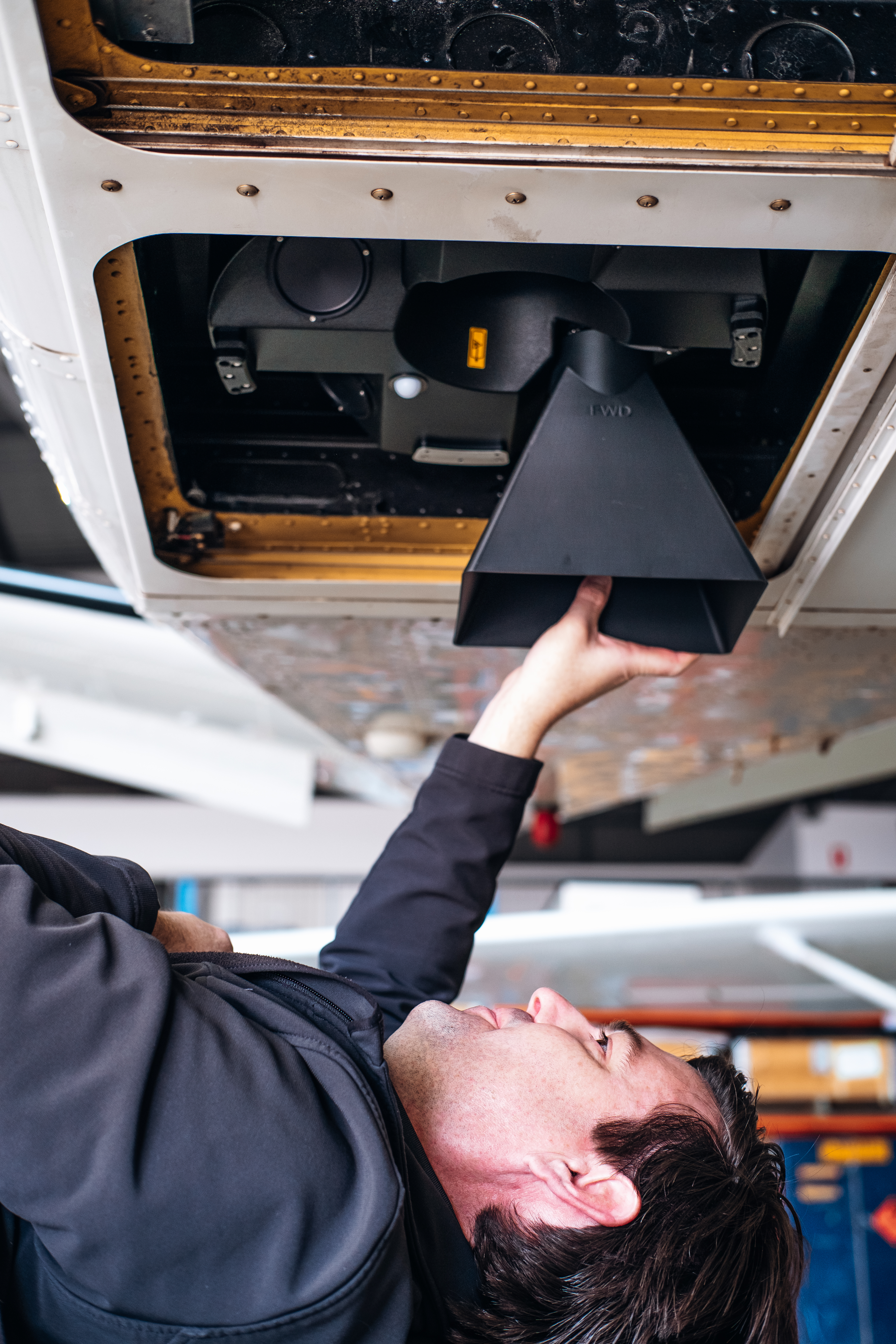
Woolpert has strengthened its position in the Asia-Pacific region, adding two TerrainMapper-2 sensors to its aerial fleet. This strategic enhancement complements our existing Teledyne Optech Galaxy Sensors, and greatly aligns with Woolpert’s Industry Leading core value. These additionsoffer unparalleled flexibility, allowing us to deploy the most suitable sensor for each specific project.
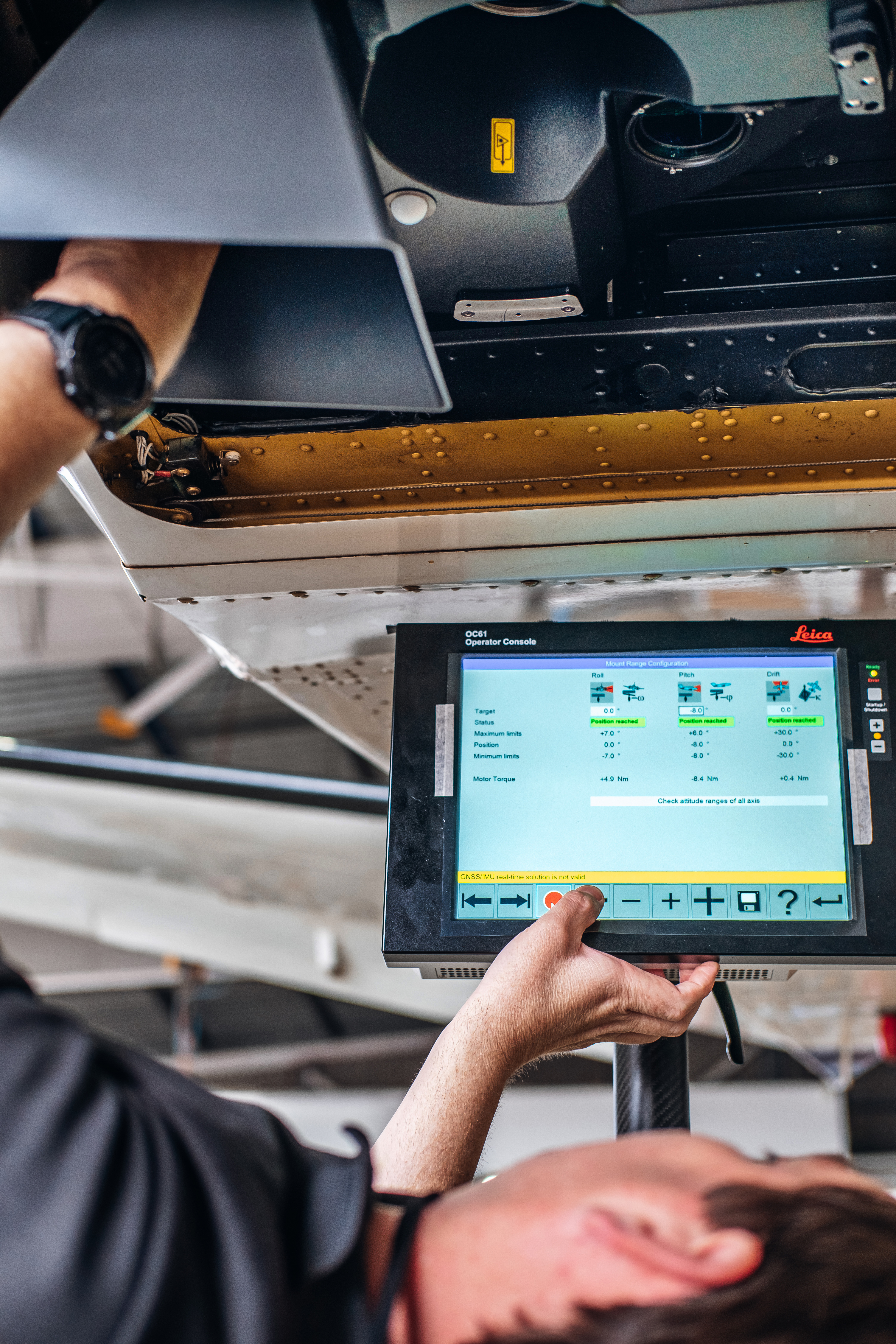
Beyond acquiring these advanced sensors, we have effectively integrated geospatial data captured by the Leica TerrainMapper-2 into our innovative LiDARnetics workflow. LiDARnetics, Woolpert’s automated LiDAR processing system, is a game-changer in data processing. Utilising cloud-based processing and advanced machine-learning tools, it processes data faster and more intelligently with each new project. This system transforms billions of LiDAR points into actionable intelligence, marking a significant leap in efficiency and precision.
Operating multiple sensors from leading global manufacturers means Woolpert remains distinctive in the Asia-Pacific market. With demand for LiDAR ever growing, as well as increasing use cases emerging each and every year, the expansion of specifications and requirements is inevitable, and are highly dependent on the industry serviced.
The addition of TerrainMapper-2 technology reinforces our commitment to delivering the best solution to our clients. Rather than making best use of just one type of sensor, our growing suite of sensors means we can develop tailored solutions based on the best tech for your specific project. Clients receive better results, through more efficient data capture, faster project delivery times, and fit for purpose information.
Pioneers of Aerial LiDAR in the Asia-Pacific
Woolpert introduced the use of LiDAR technology in aerial surveying to the Asia-Pacific region in 1998. We continue to pioneer cutting edge LiDAR technology, including the latest generation of LiDAR sensors for data capture. Woolpert’s Aerial LiDAR surveying delivers data in a matter of days so you can avoid costly delays and act quickly when needed.
We are looking forward to using the TerrainMapper-2 for our regional mapping projects in the Asia-Pacific, delivering our clients faster, more precise, and cost-effective mapping services.


 (1)")
")

")
")
")