


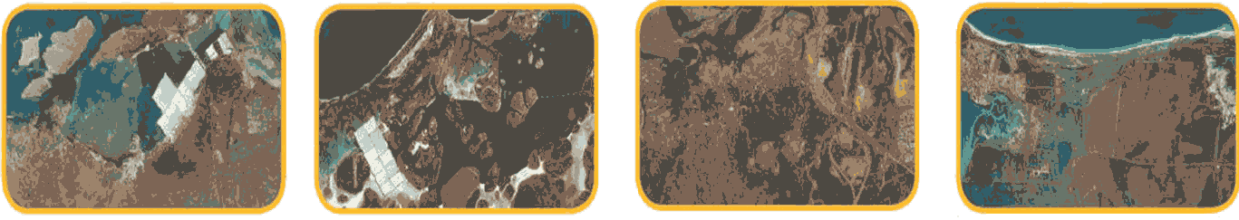
In an area developing as rapidly as WA’s Pilbara region, regular aerial photography is an invaluable resource for assessing and monitoring change. This is especially important in urban centres where multiple developments often occur simultaneously, or in towns with complex port, rail or other infrastructure.
AAM has undertaken regular aerial photography over Port Hedland for the past 12 months, and its work program was recently expanded to include Cape Lambert, Karratha, Dampier and Onslow.
“Whilst there is regular image capture being undertaken for major projects throughout the Pilbara little is being done over the townships,” AAM WA Business Development Manager Brett Johnson said.
“Often this is because the scale of projects within these centres makes dedicated capture prohibitively expensive.
“AAM capturing the photography and sharing the costs amongst multiple clients makes it viable.”
Mr Johnson said AAM’s images are available either as one-off purchases or through a subscription service.
“The flexibility is essential as individual needs change with each client and project,” he said.
Mr Johnson said AAM’s Pilbara Townships imagery will also be available through its recently launched GeoCloud service.
“The AAM GeoCloud makes this data broadly accessible to anyone without the need for specialised software,” he said.
“Cloud-based hosting is undergoing significant growth at the moment, and the AAM GeoCloud service is specifically engineered for spatial data.”
 (1)")
")

")
")
")