


How do we measure value in geospatial – quality or price? Woolpert Sales Manager – Asia-Pacific, Daniel Kruimel, takes us on an exploration on one of the great debates, lending his insight into the ‘value’ of geospatial, and how overlooking key considerations can be a costly mistake when choosing your geospatial service provider.
In today’s competitive business landscape, where every dollar spent matters, it is generally assumed that quality transpires to a higher price. You might notice the difference in price versus quality when flying business class compared to economy or driving a Kia versus a BMW.
But what about the difference when working with geospatial service providers?
You have a well-defined scope of work and have asked several companies to provide a quote. You have definitively specified what needs to be done, meaning the deliverables should be the same regardless of which provider does the job, right? Even so, there are still variations in price and for good reason.
Before making any rash decisions, let’s consider what the real cost of a low-price solution could be, what might save you time and money in the long run.
Underestimation
The most likely cause of price variation in geospatial service providers costs, could simply be put down to underestimation. Have we considered what is needed to successfully complete the project, quality assured? This may be a result of an honest mistake in interpreting the scope, or perhaps, could stem from inexperience.
In order to detect this, query your geospatial provider on the risks identified and the mitigation strategies that have been put in place. Generally speaking – mitigating risks come at a cost. For example, at Woolpert, our Aerial Survey fleet maintains dedicated standby aircraft to ensure continual operations during mandatory aircraft maintenance. This of course comes at a higher operating expense; however, we do avoid costly project delays and enables us to provide fixed date capture to our clients.
In addition to this, our GIS team maintains ISO 27001 certification for information security management which provides assurance for our hosted solution offerings. Attaining and maintaining this certification also comes at a cost.
Companies ‘buying’ the work
Perhaps, the cheaper price you have been presented is from a company that is frantic to win the work. This could be due to having a lack of work, or maybe they are strategically trying to enter a market or secure a key account.
Let’s ask ourselves, if it is due to a lack of work – what could be the reason for this? If there are no serious economic or political factors currently influencing the market, most companies that are good at what they do are not normally short on work.
If it is a company aiming to strategically enter a market, and their strategy for doing so is by being the cheapest, it is worth considering if this is the best fit for your project.
Long-term cost considerations
Unless you are looking for a surgeon, a lower price is almost always tempting. In addition to the upfront initial cost, consideration should also be given to the overall and long-term costs. Does the lower price consider all facets of your project? If not, what will the extras cost? And perhaps, even more importantly, what are the consequences if the geospatial service provider fails to deliver? Having to go through the procurement process again would have a cost, but this would likely pale in significance compared to costs resulting from project delays.
Data quality
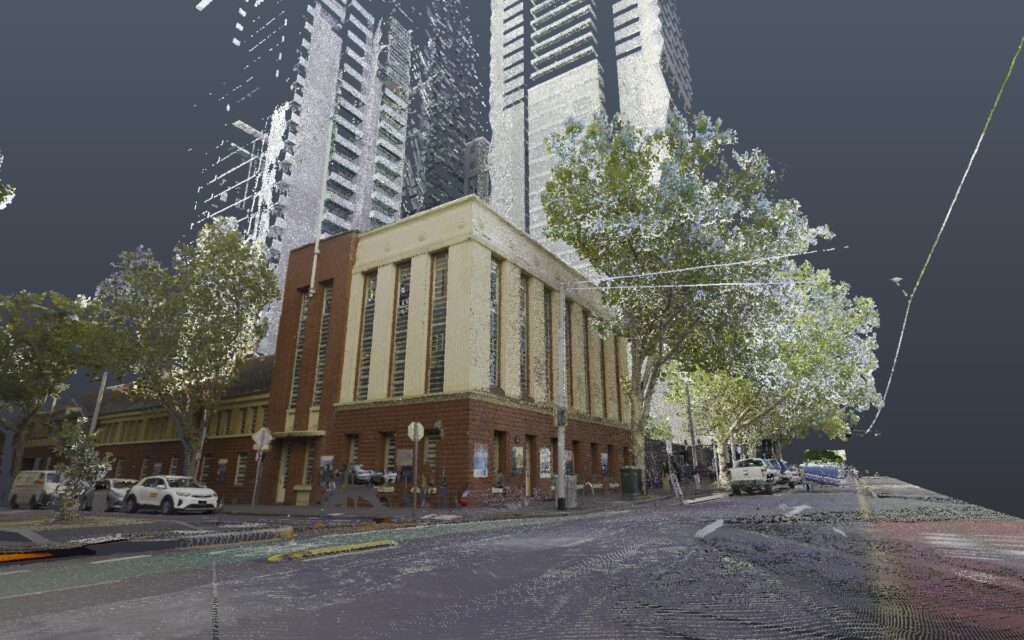
It can be difficult to determine if the geospatial data you have been provided is of good quality. Unfortunately, poor quality data is usually brought to light when problems emerge. Inaccurate or unreliable data may result in major downstream cost implications on your project, especially if it involves design and construction.
At Woolpert, we don’t set out to be the cheapest, we strive to be industry leaders in quality. When it comes to working with a geospatial provider, look beyond price, and consider quality, experience, and reliability, that ironically, also come at a cost.
Learn more about Woolpert’s expert geospatial and digital solutions that underpin some of the biggest projects in the Asia-Pacific and beyond Services – Woolpert

 (1)")
")

")
")
")